


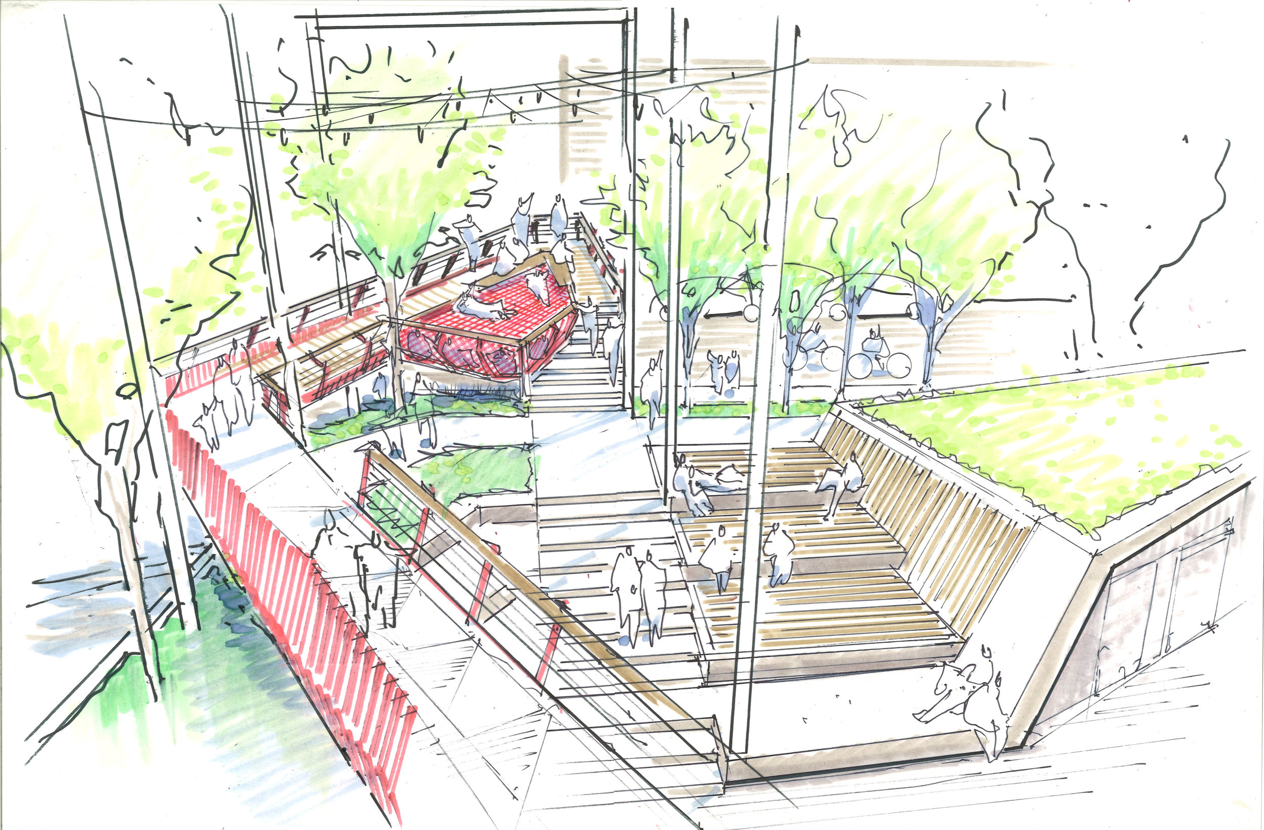
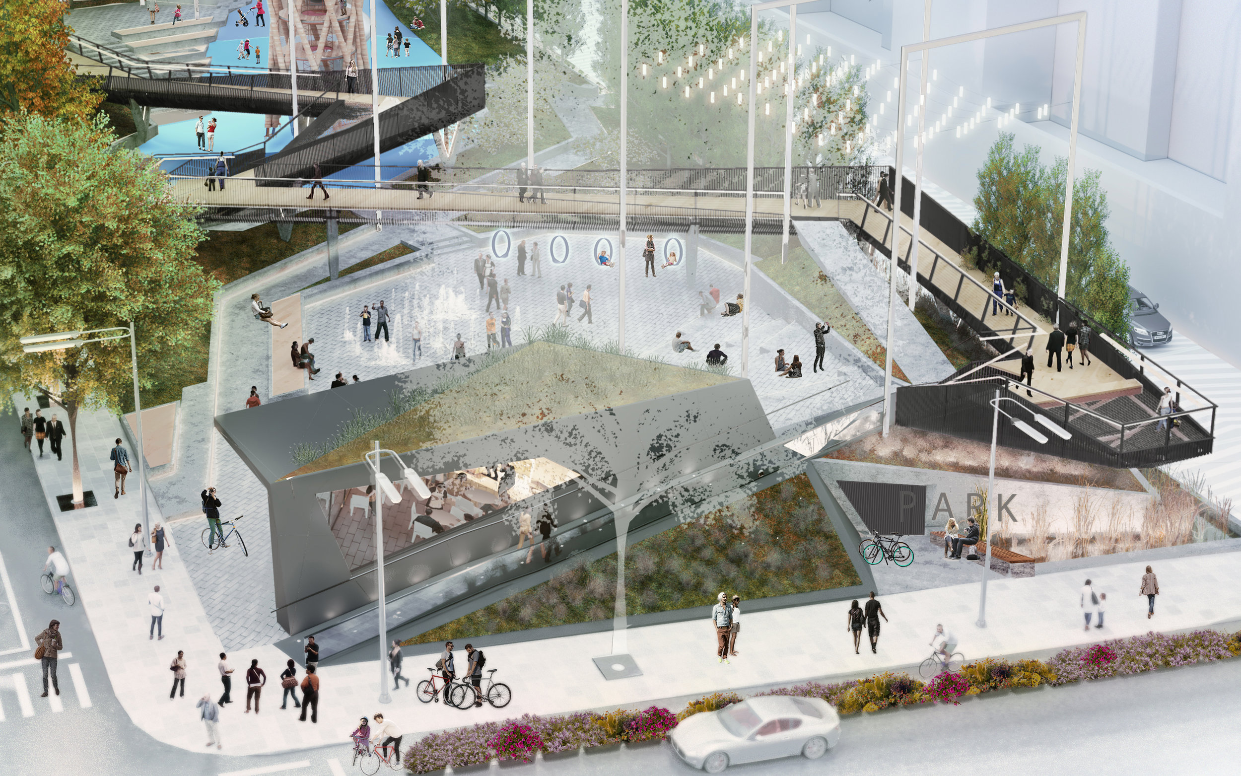

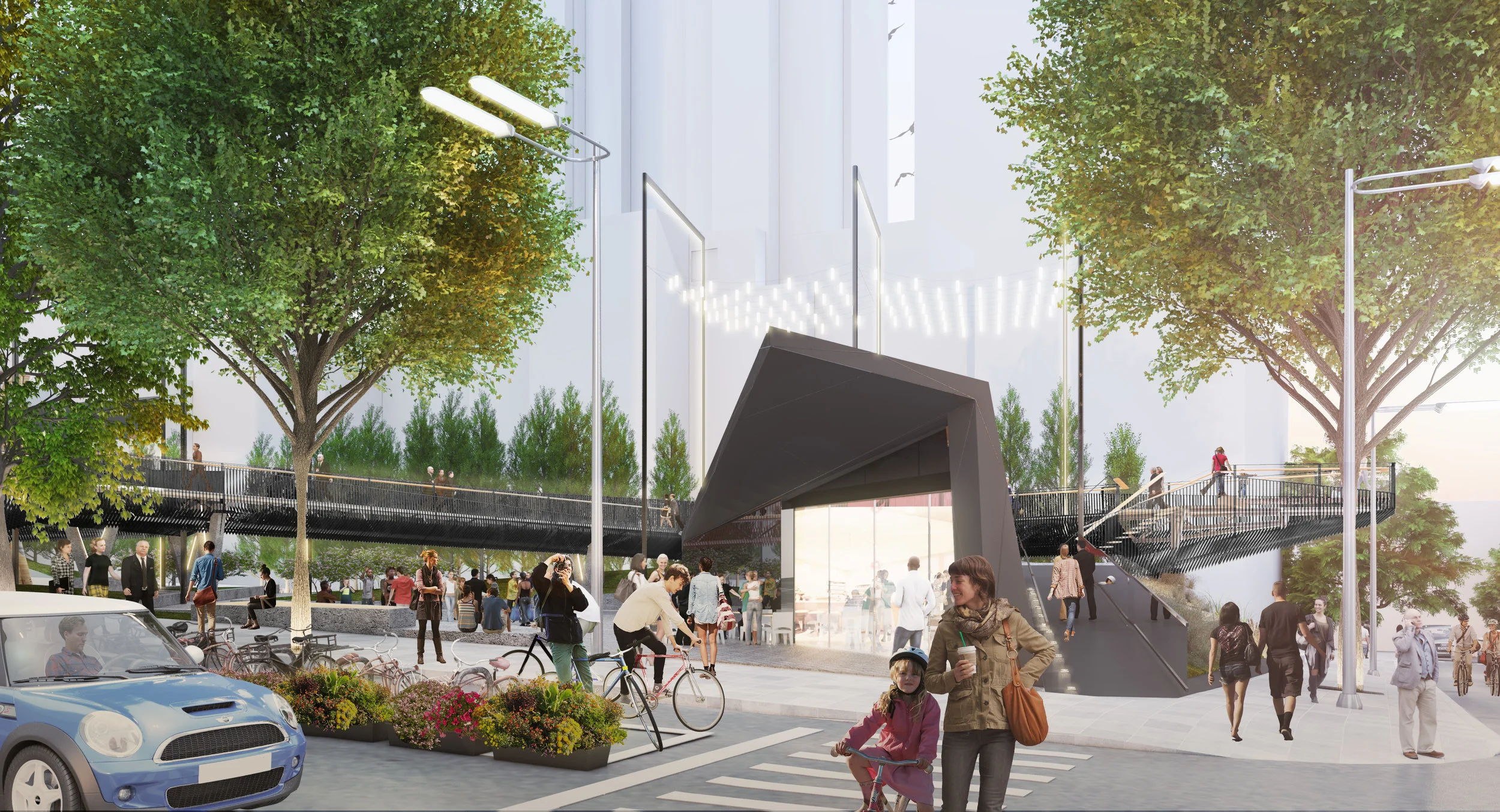


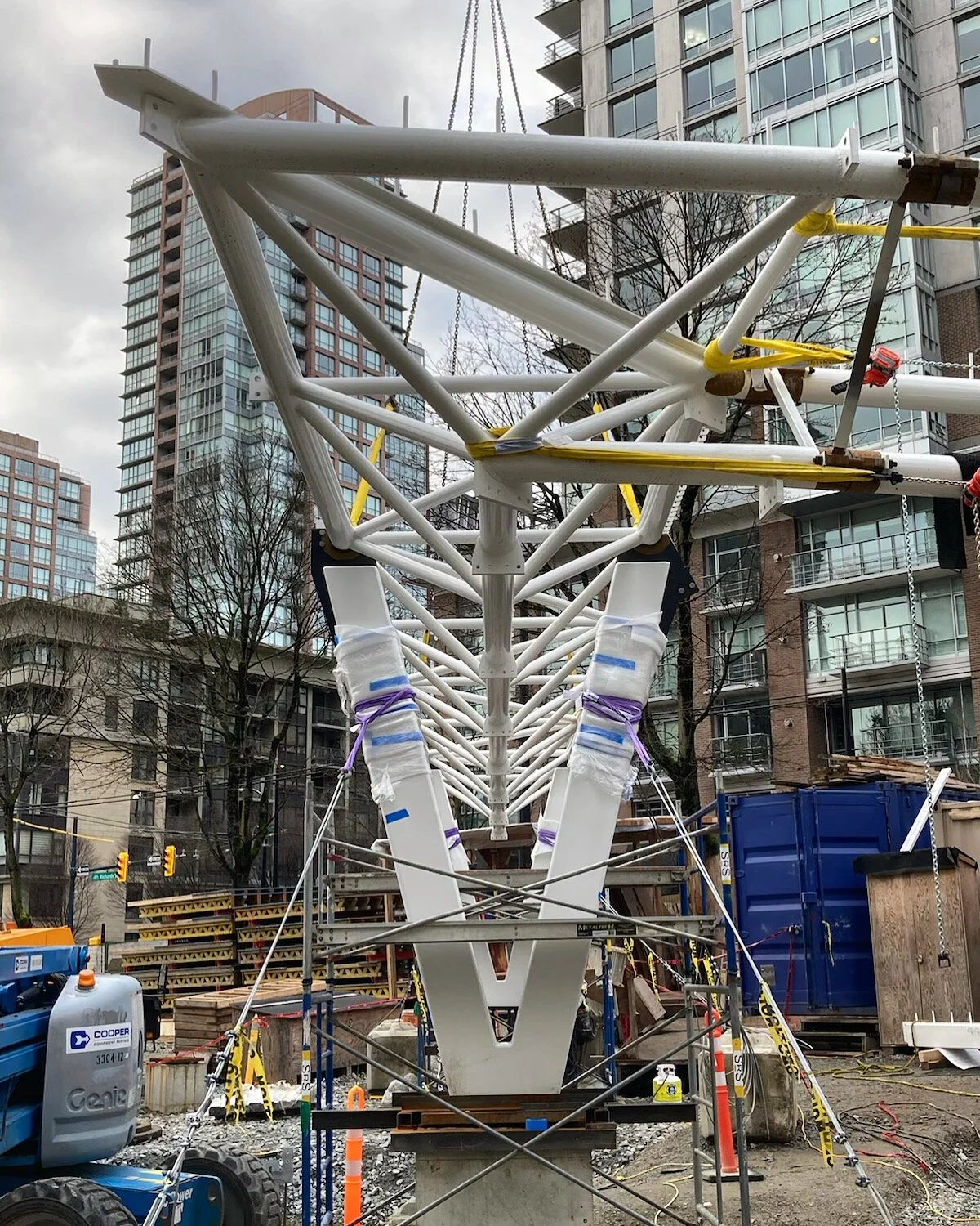


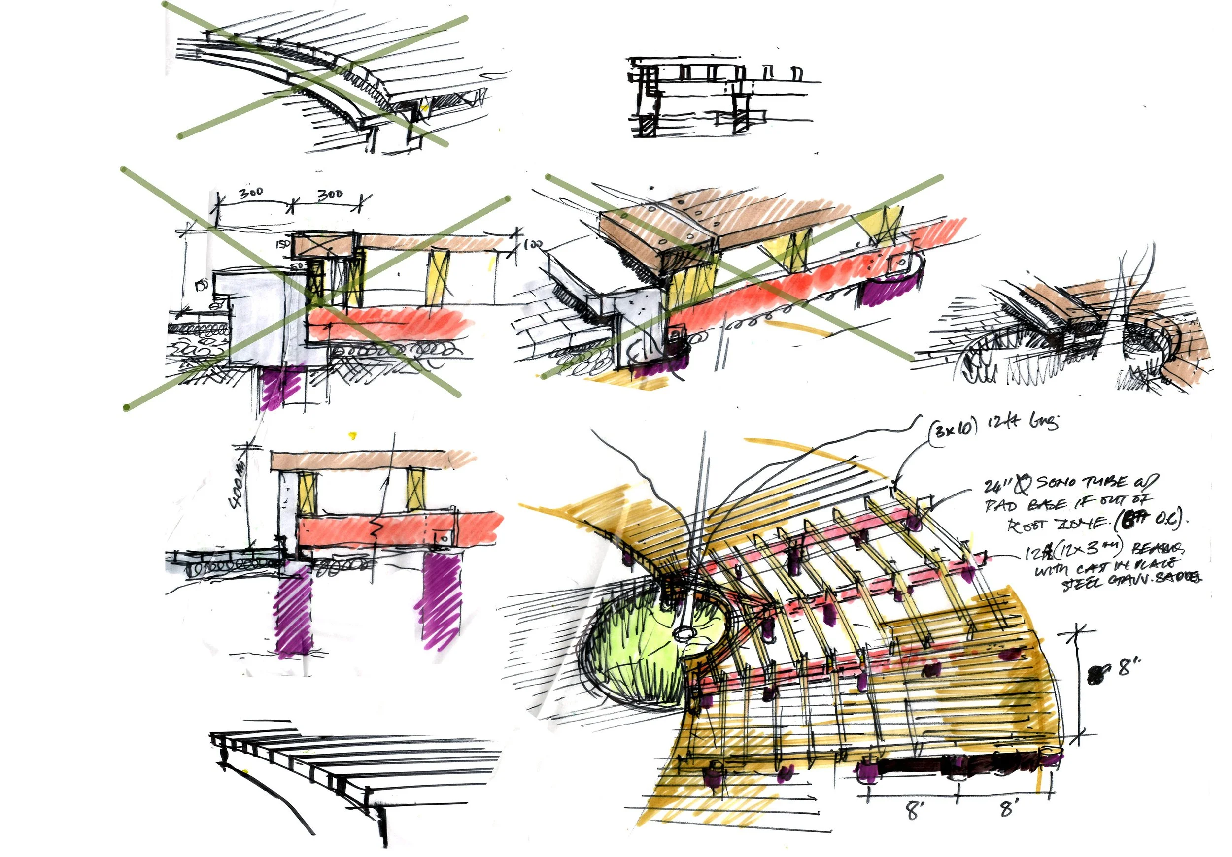


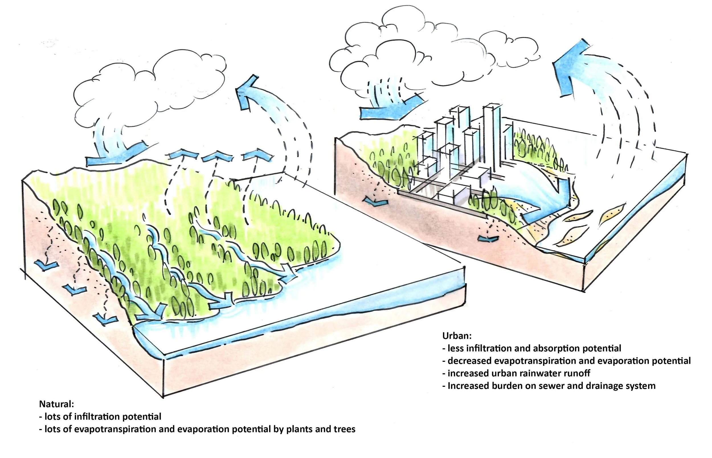


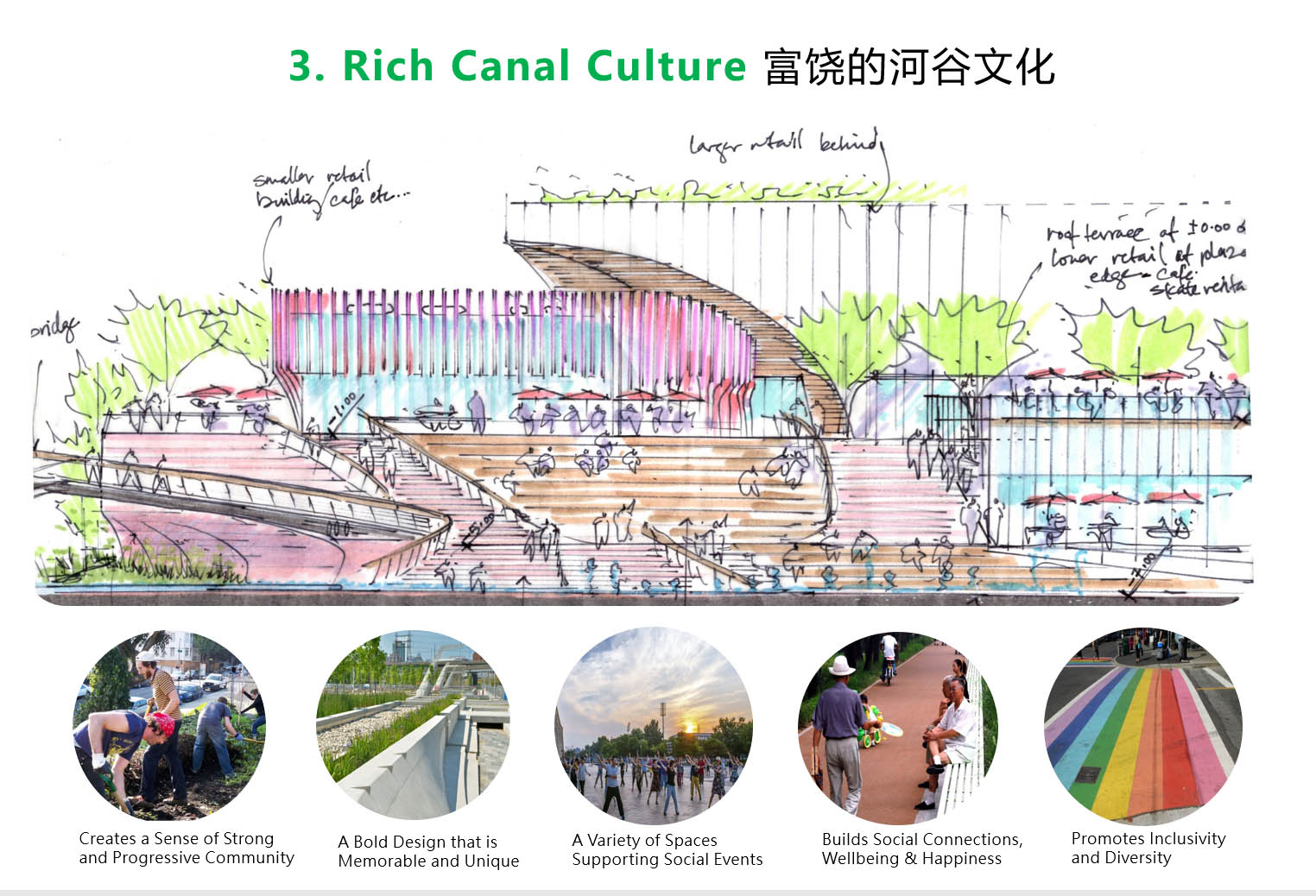
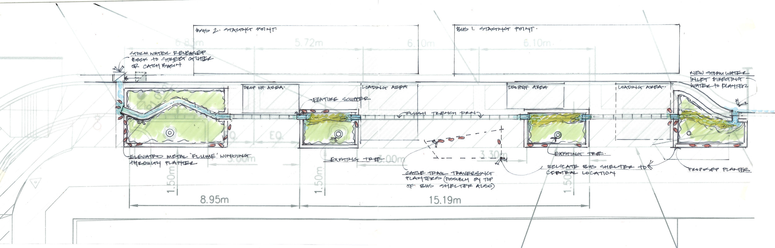
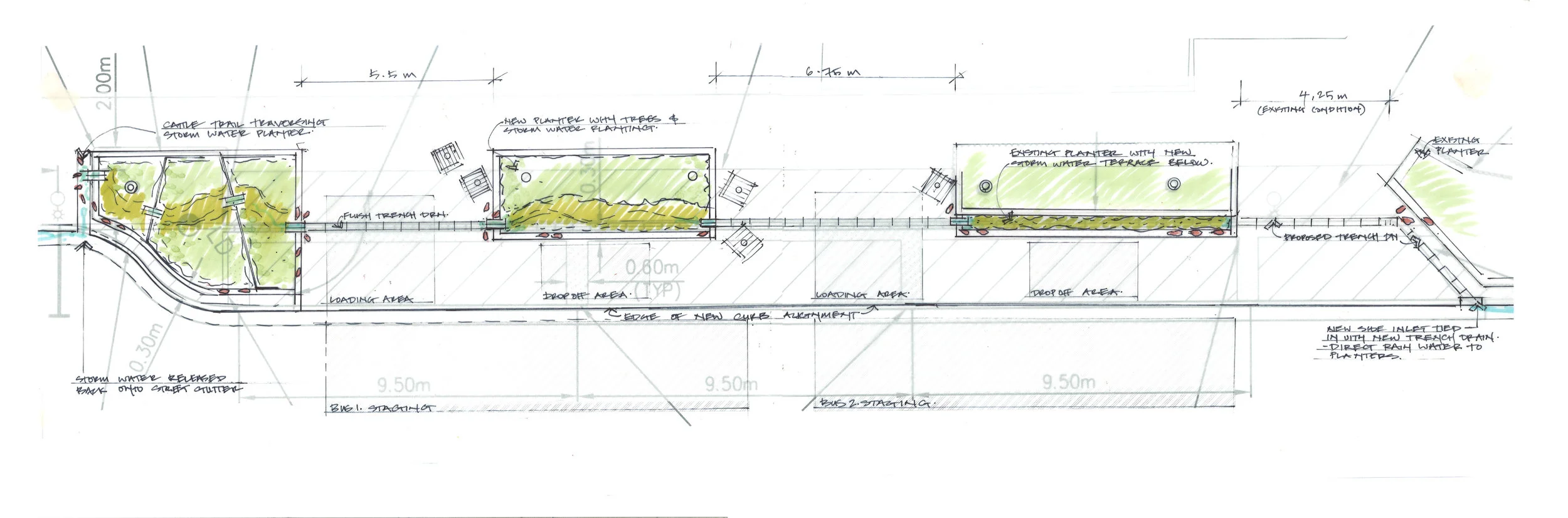
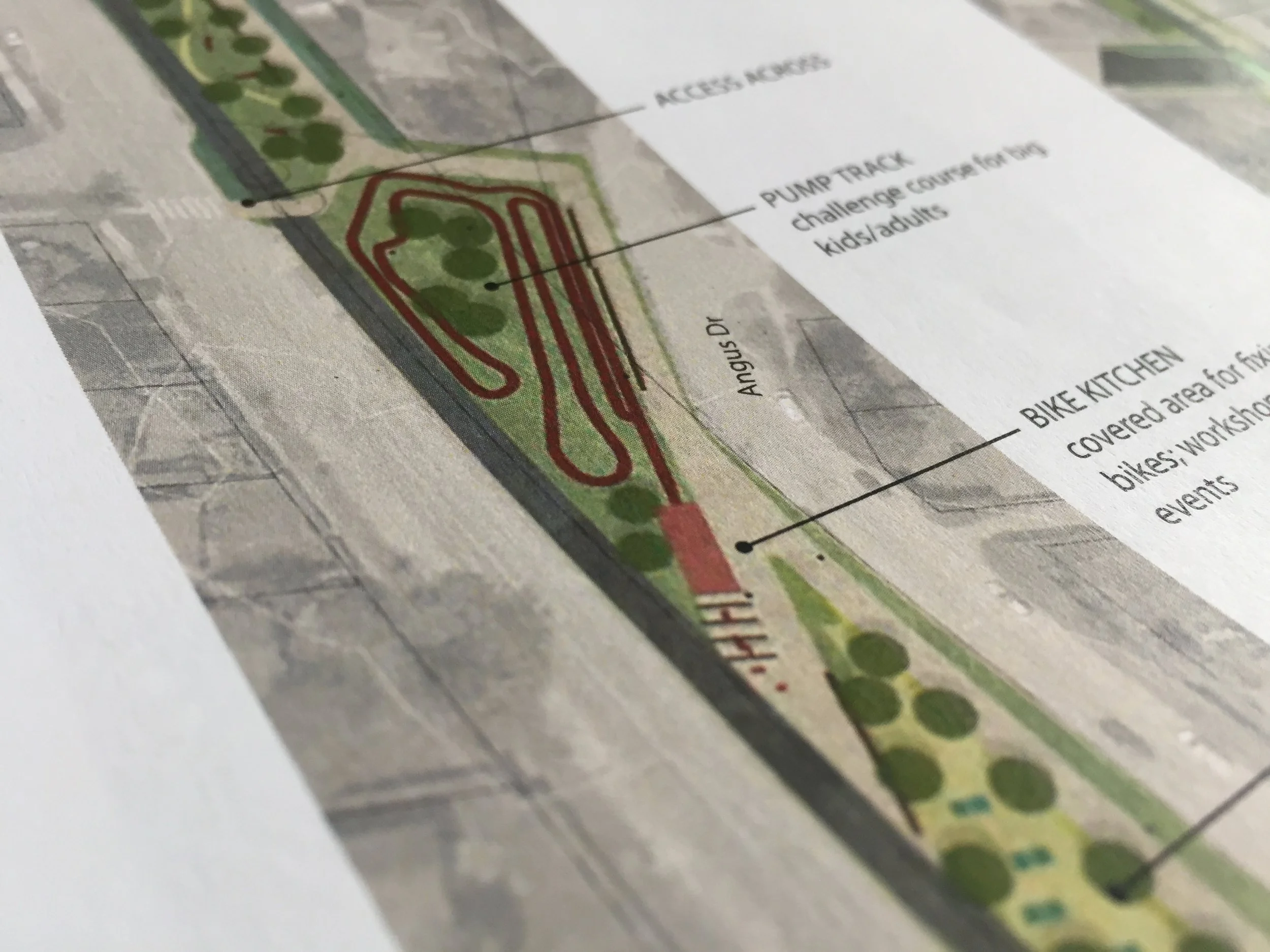
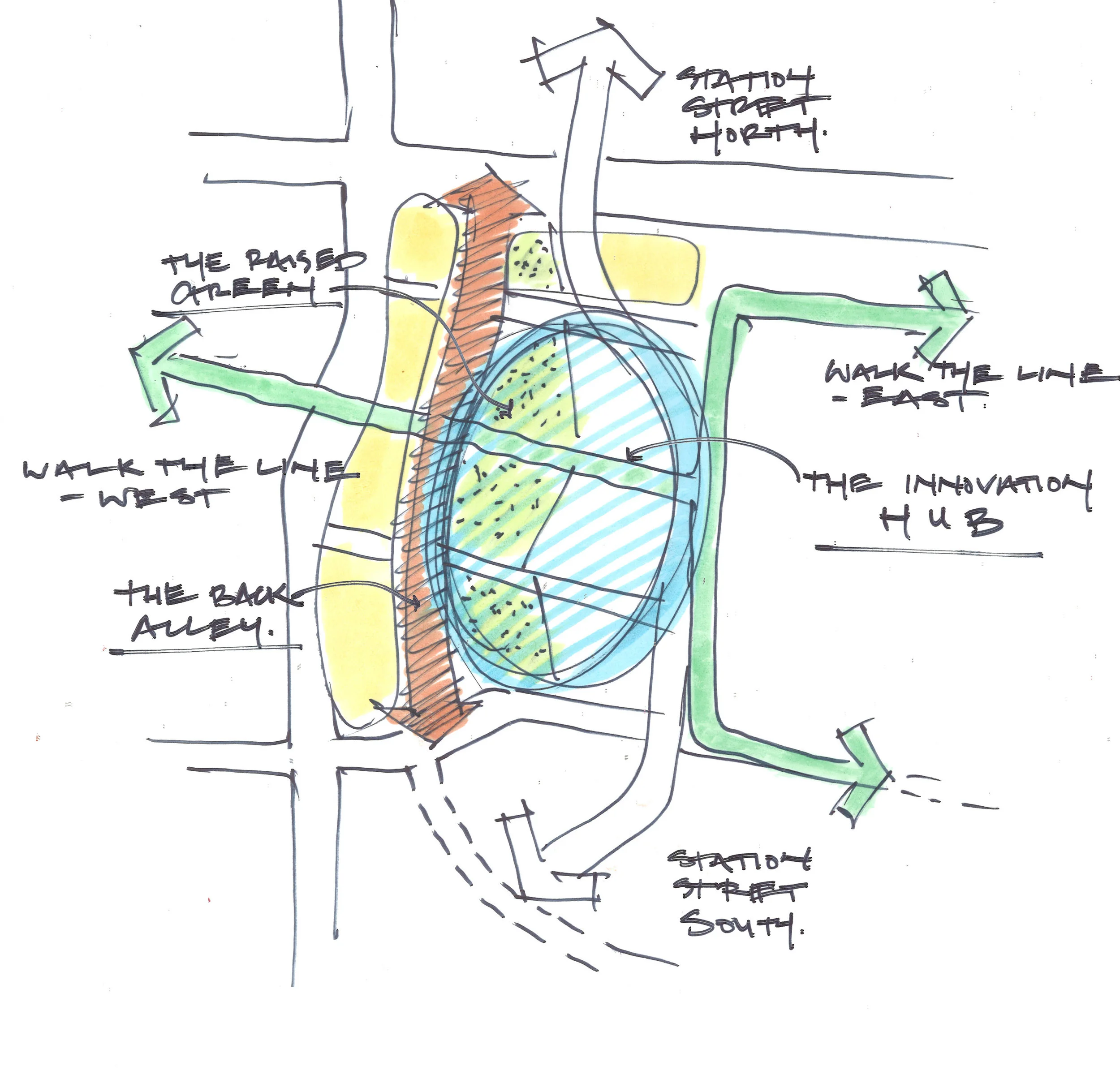
![scan230[1].jpg](https://images.squarespace-cdn.com/content/v1/5c5afeb17d0c914295a6e39c/1566858424954-VPBNPEUUEQPSGF26XA33/scan230%5B1%5D.jpg)
![scan247[1].jpg](https://images.squarespace-cdn.com/content/v1/5c5afeb17d0c914295a6e39c/1566858443734-8PNN77N54NMVW57CSC6T/scan247%5B1%5D.jpg)
![Scan248[1].jpg](https://images.squarespace-cdn.com/content/v1/5c5afeb17d0c914295a6e39c/1566858455541-ALCYN7KQPU7AAA4WH1IP/Scan248%5B1%5D.jpg)
![Scan249[1].jpg](https://images.squarespace-cdn.com/content/v1/5c5afeb17d0c914295a6e39c/1566858461953-7NI6DJBD34Y25C3B6C3I/Scan249%5B1%5D.jpg)
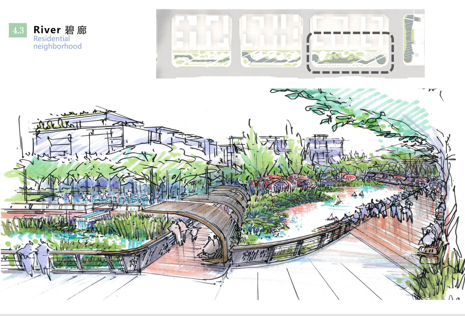
![scan246[1].jpg](https://images.squarespace-cdn.com/content/v1/5c5afeb17d0c914295a6e39c/1566858454490-VVRGQR7T7A9B33X53NV8/scan246%5B1%5D.jpg)

![scan224[1].jpg](https://images.squarespace-cdn.com/content/v1/5c5afeb17d0c914295a6e39c/1566858403161-ICK0634NANZG92UCUR21/scan224%5B1%5D.jpg)


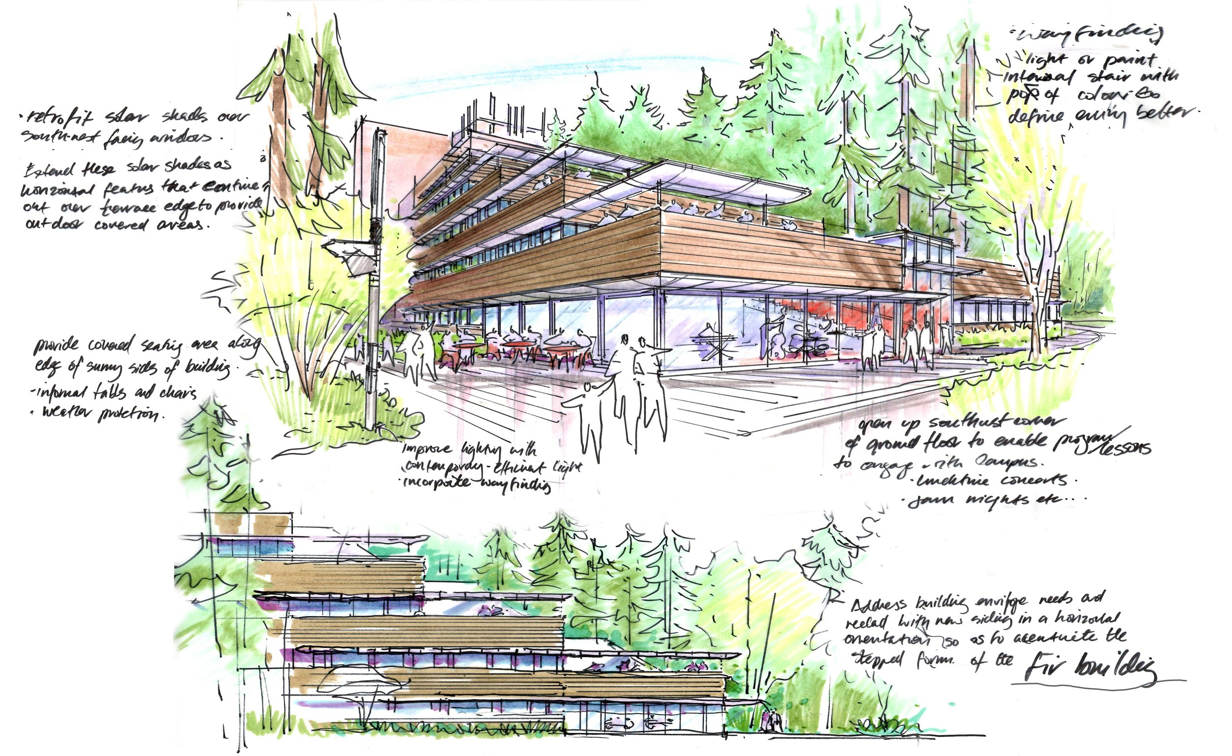
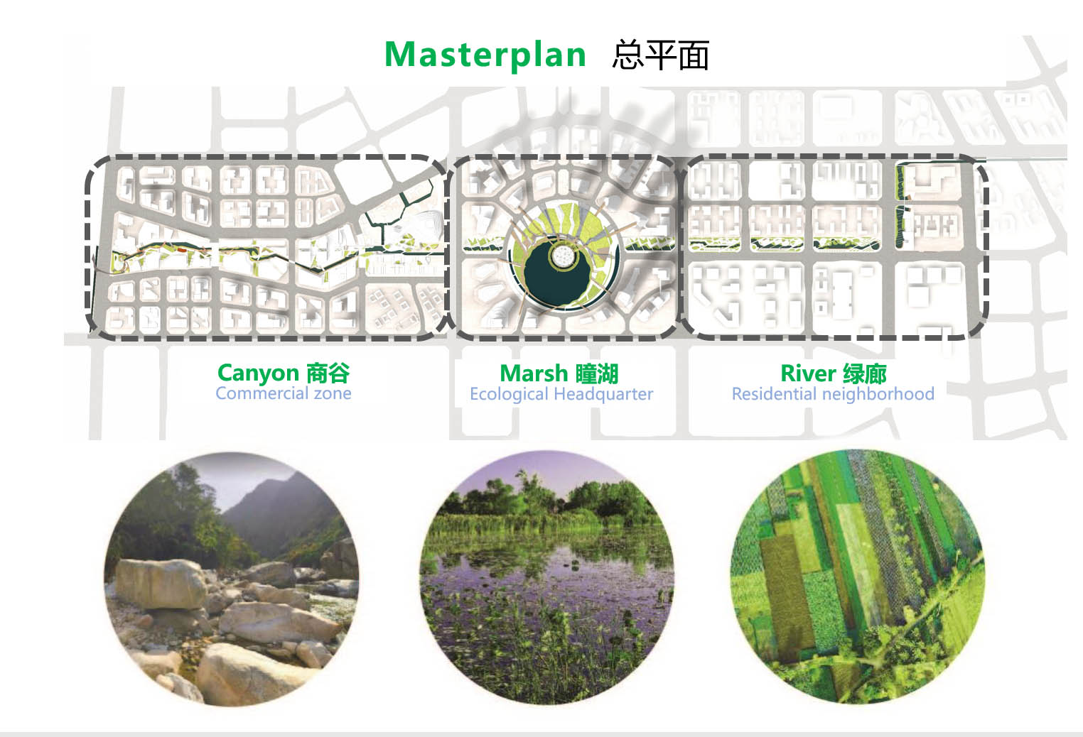
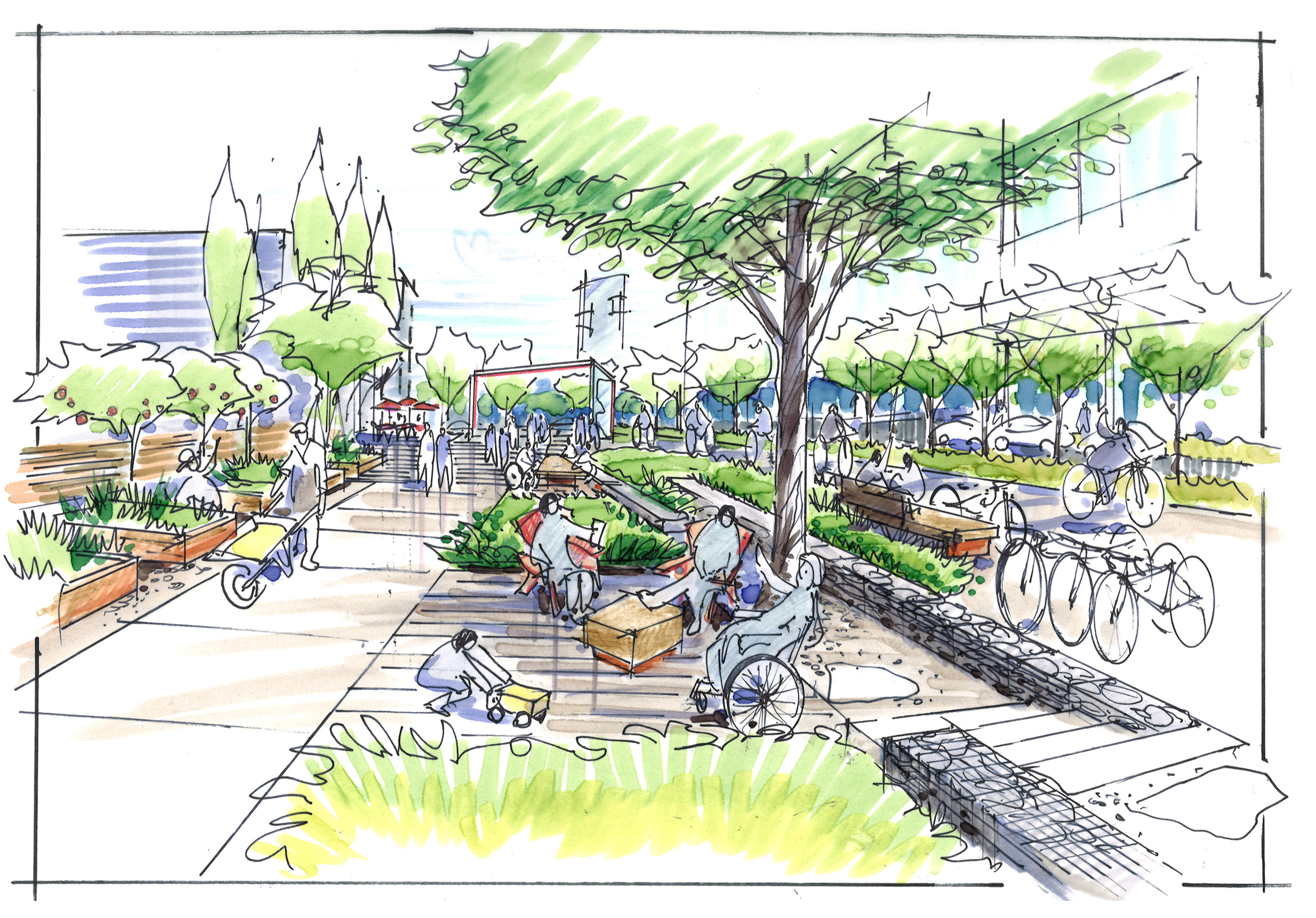
![scan231[1].jpg](https://images.squarespace-cdn.com/content/v1/5c5afeb17d0c914295a6e39c/1566606145341-1NDE4D203KKSADUW53SA/scan231%5B1%5D.jpg)
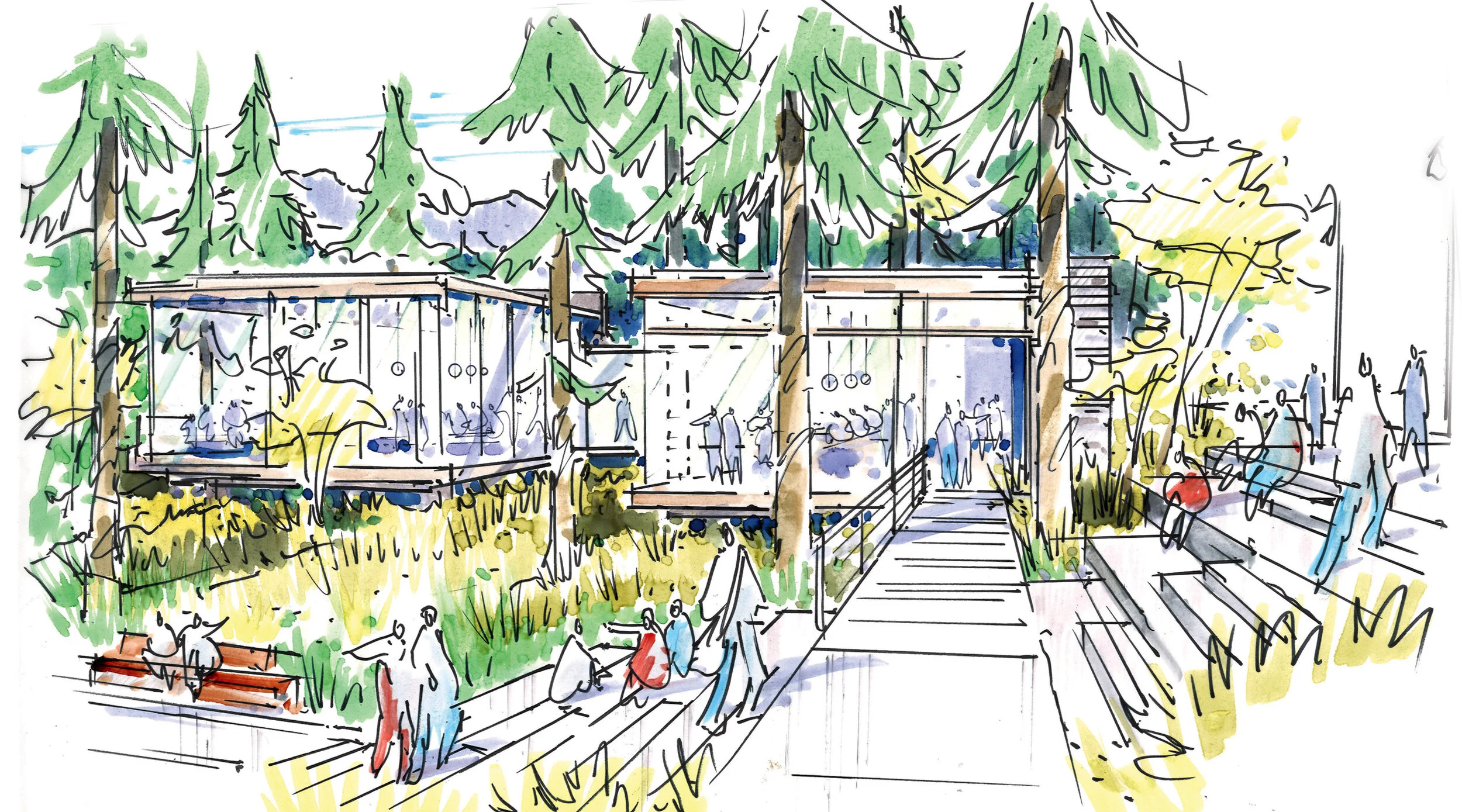
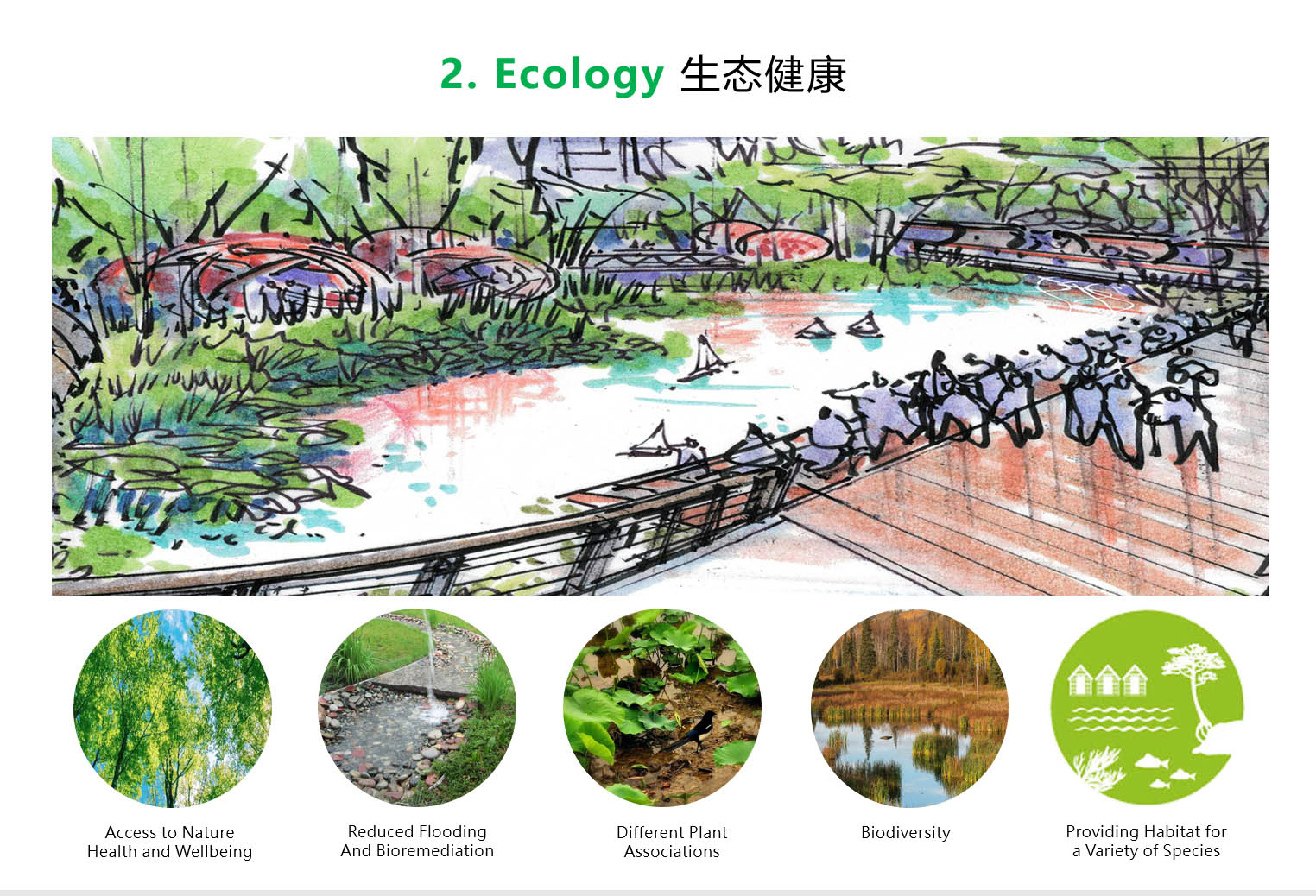
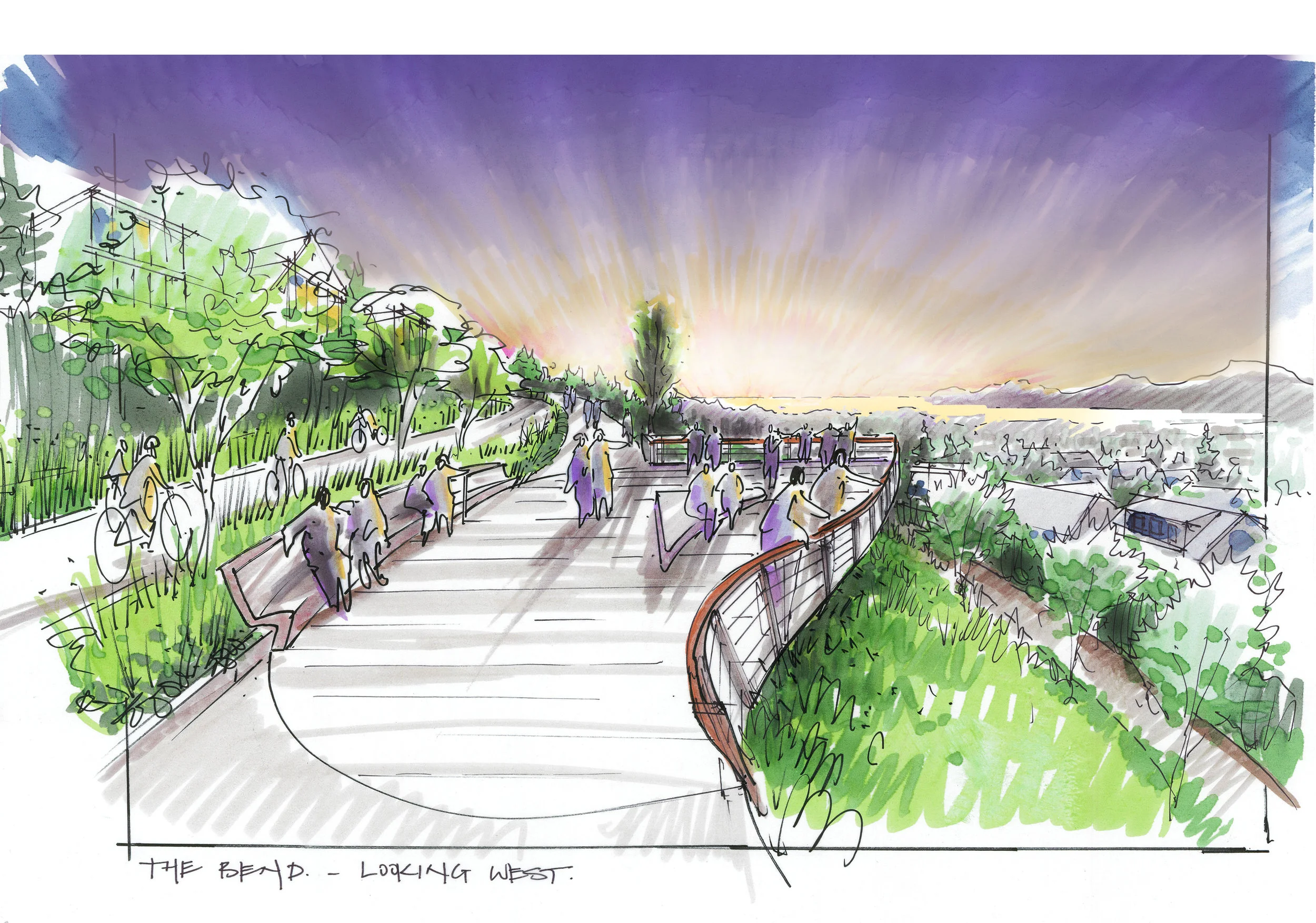
![scan222[1].jpg](https://images.squarespace-cdn.com/content/v1/5c5afeb17d0c914295a6e39c/1566858398177-IRKESMA1YETYV2RTYD16/scan222%5B1%5D.jpg)


76
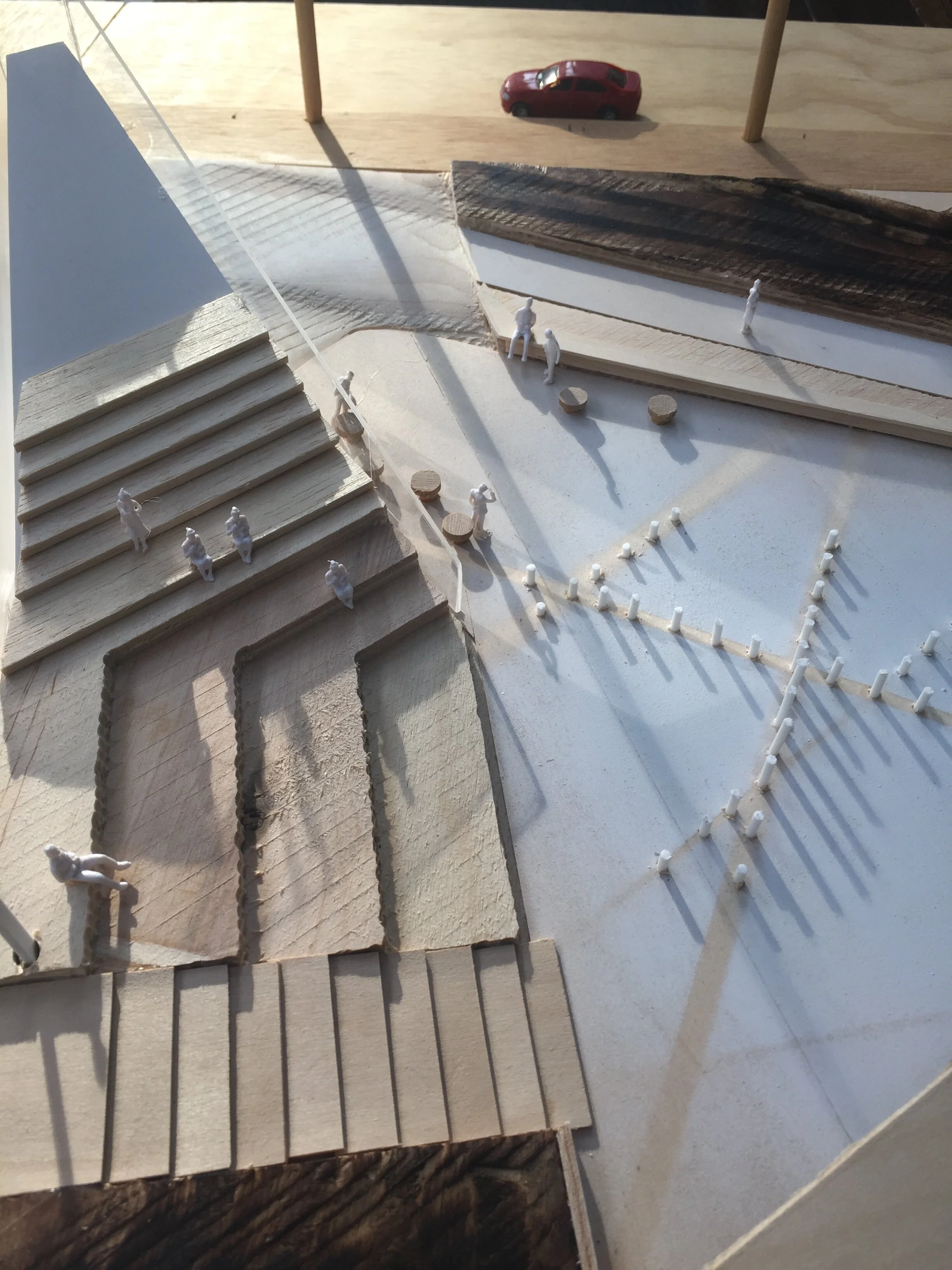
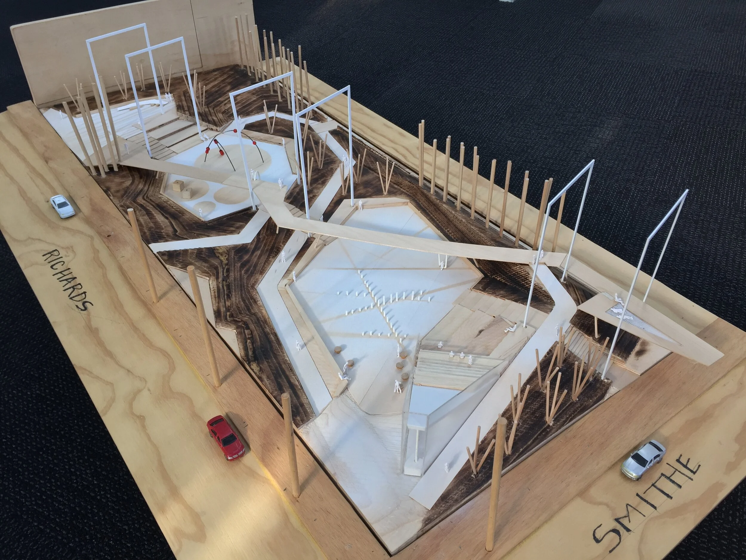
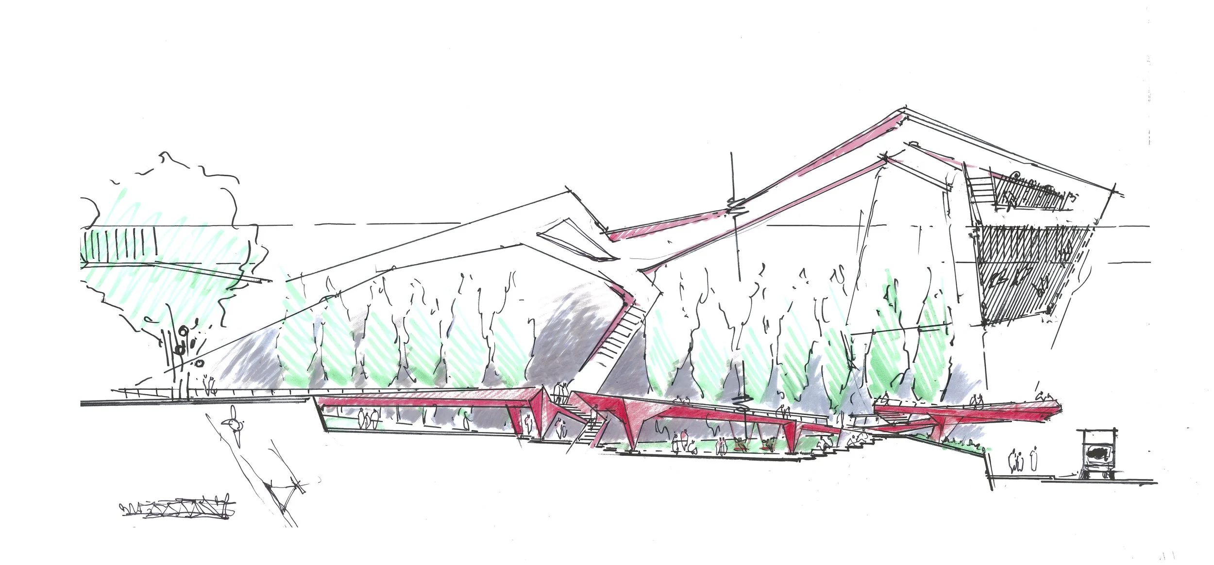
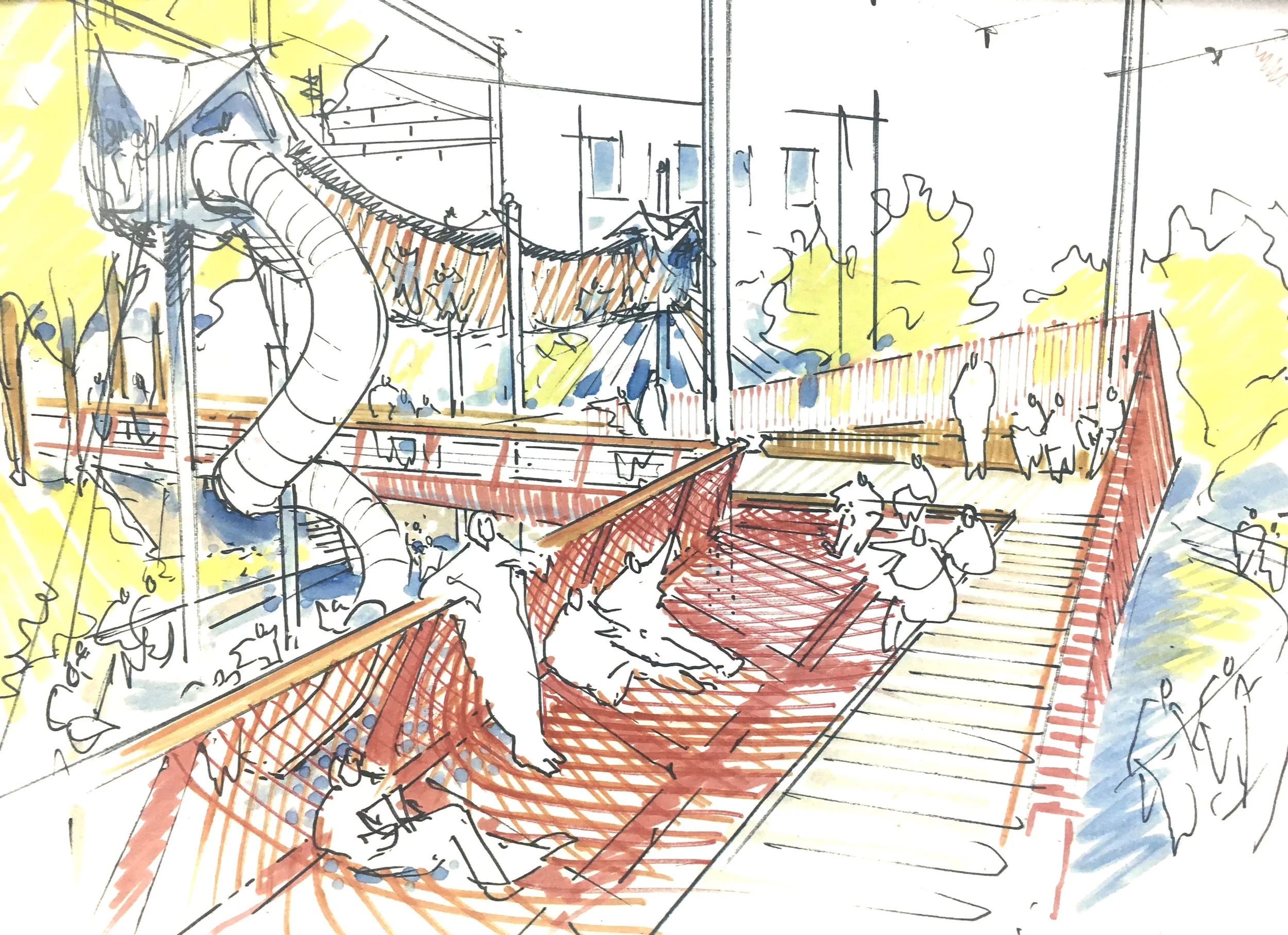
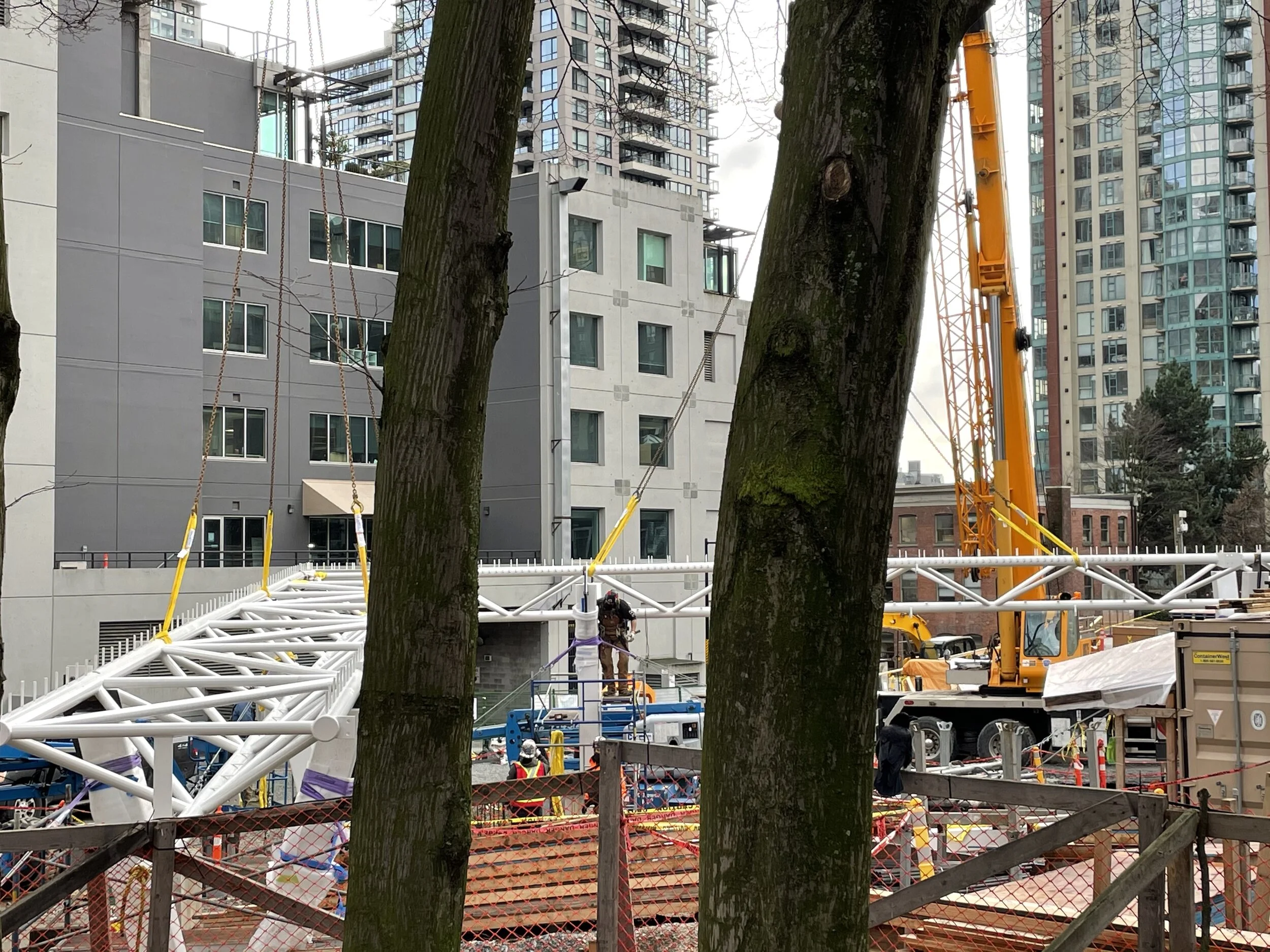
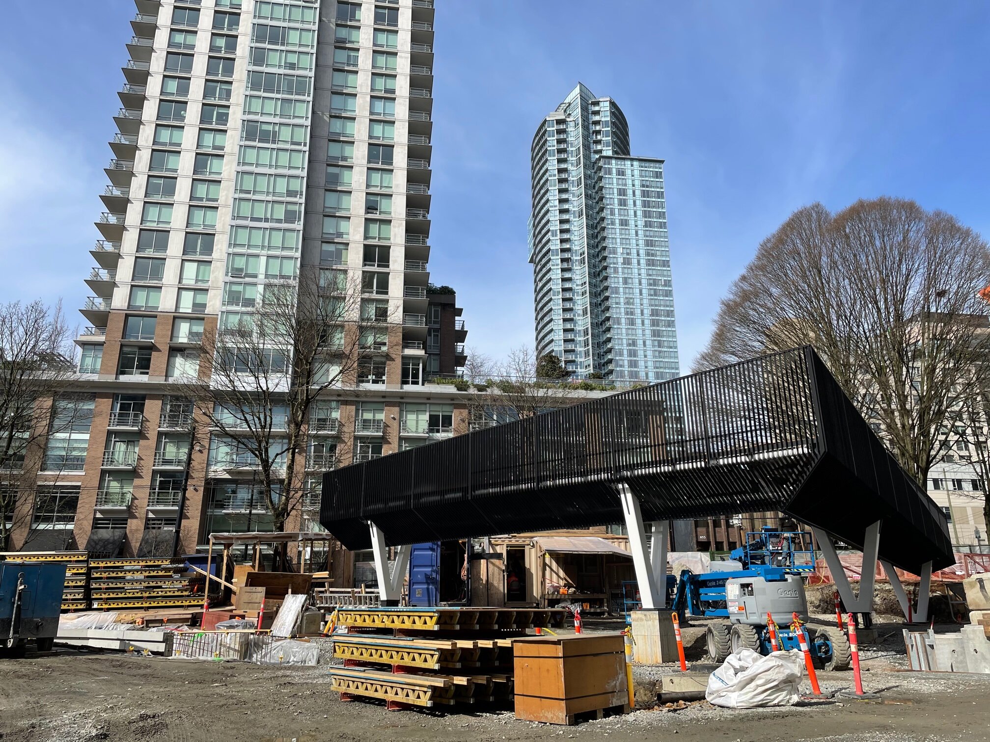
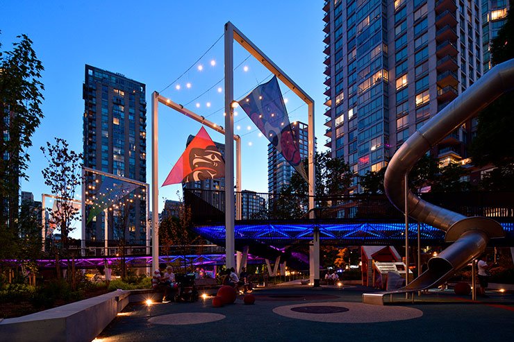
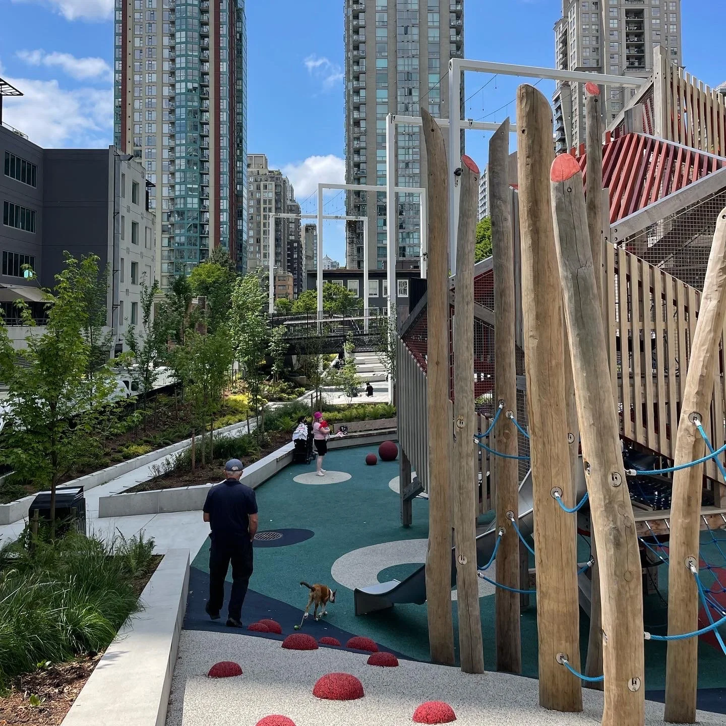
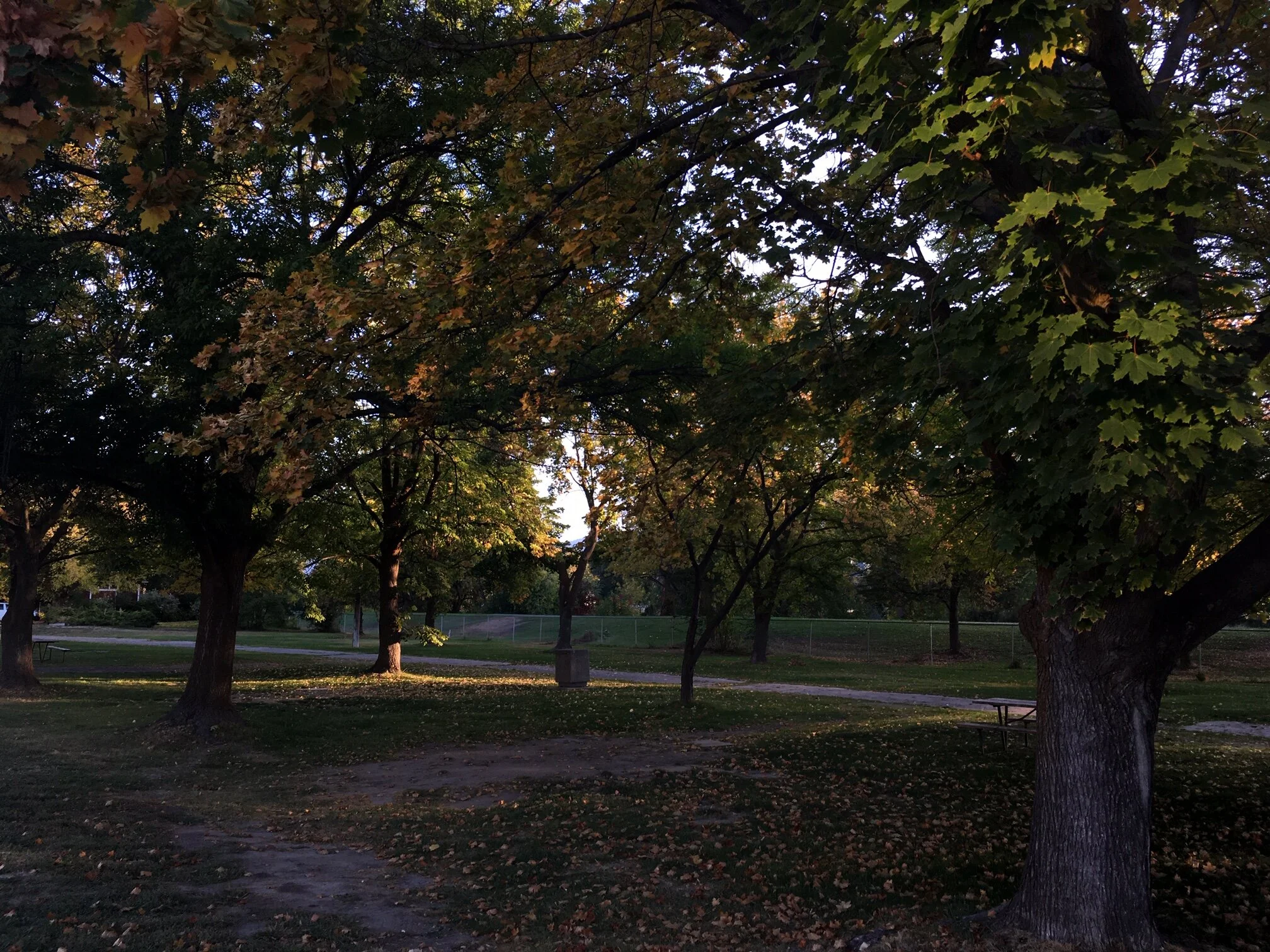
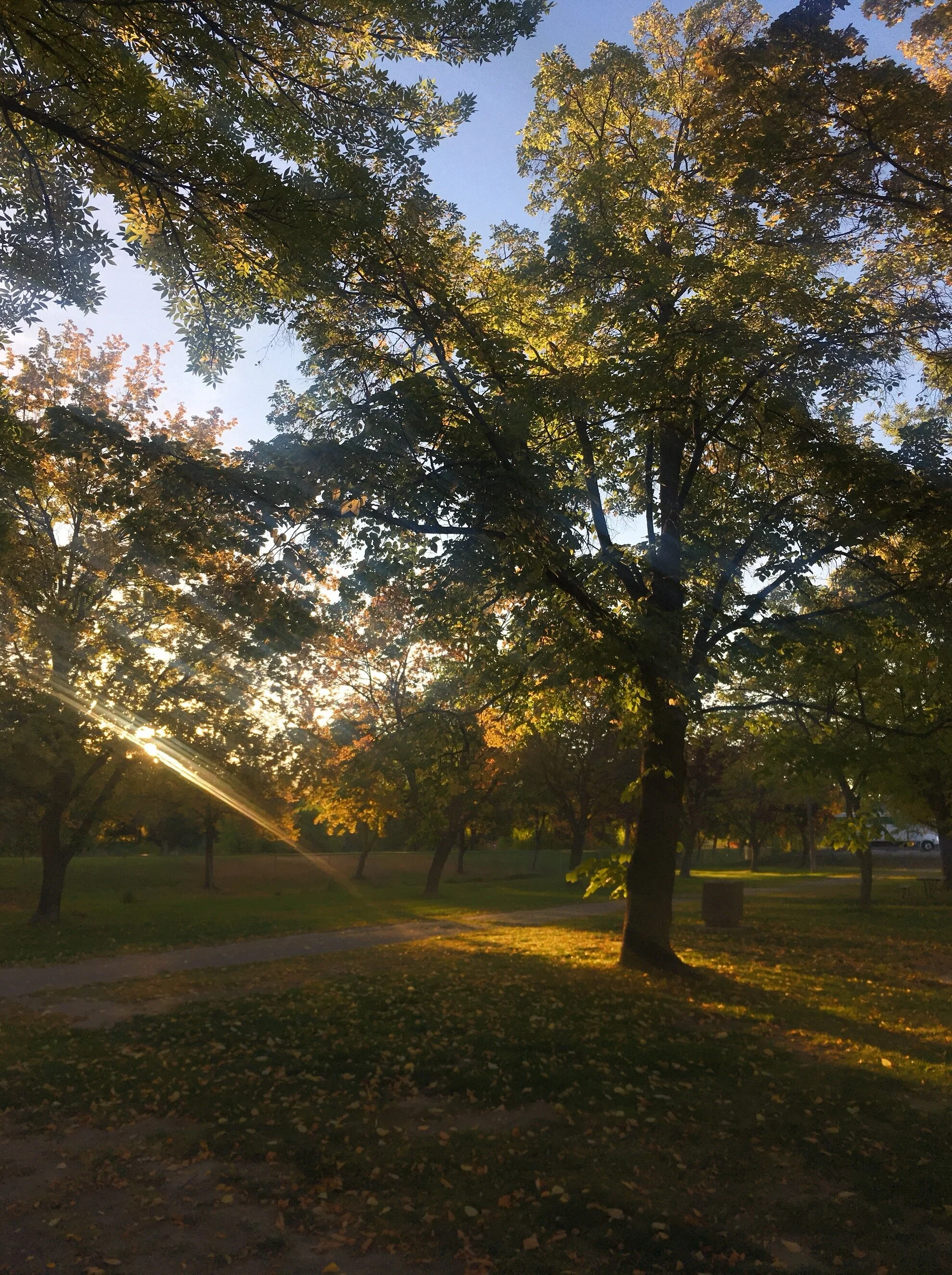
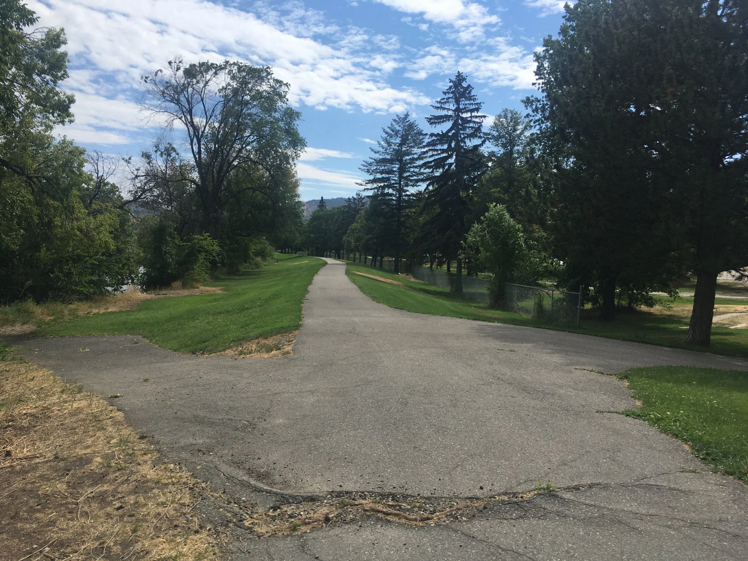
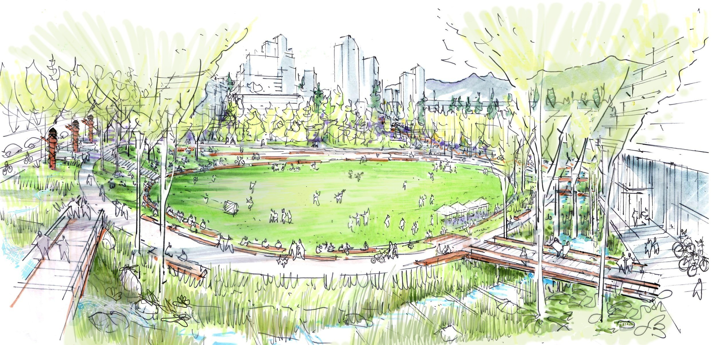
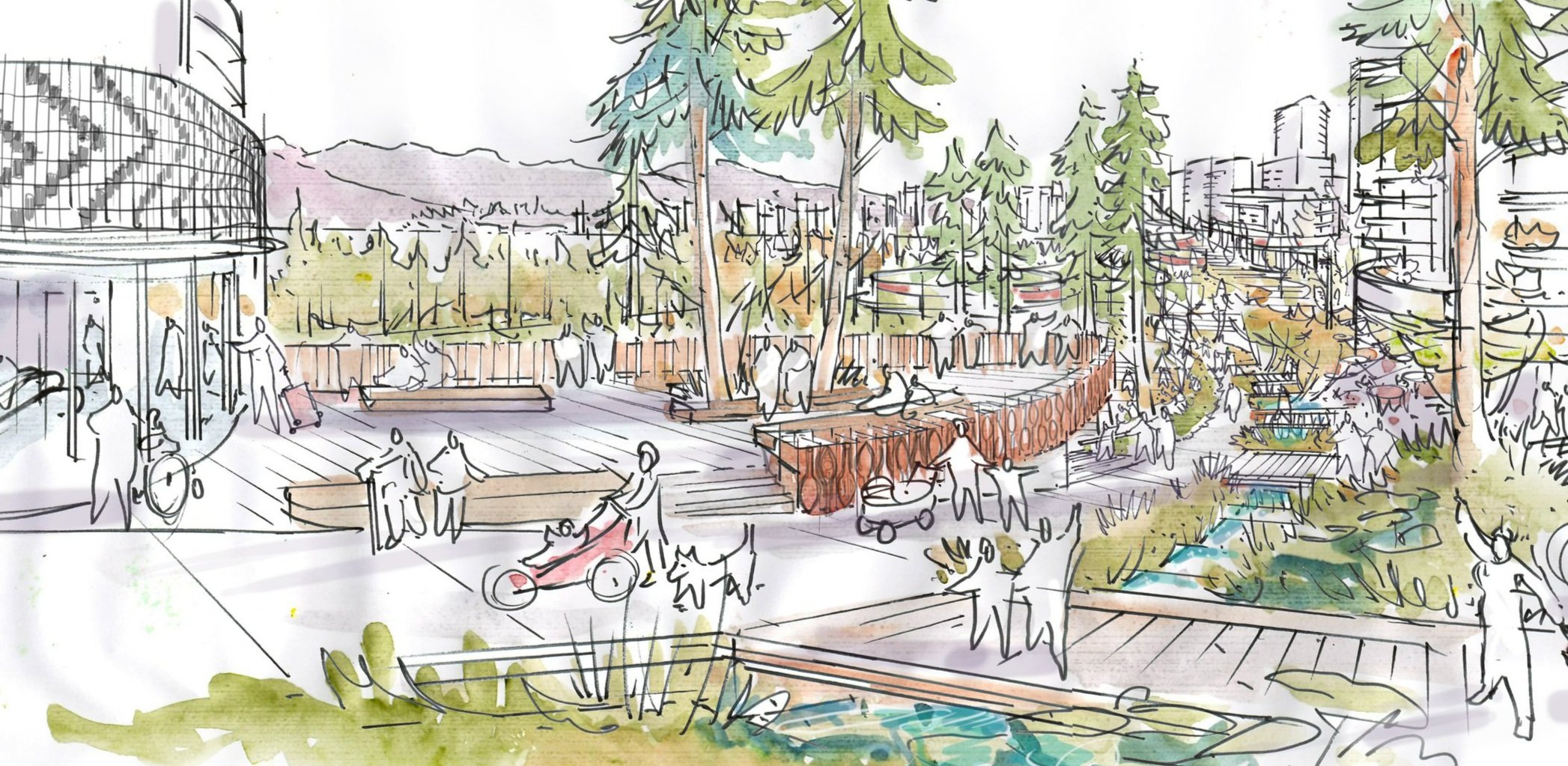
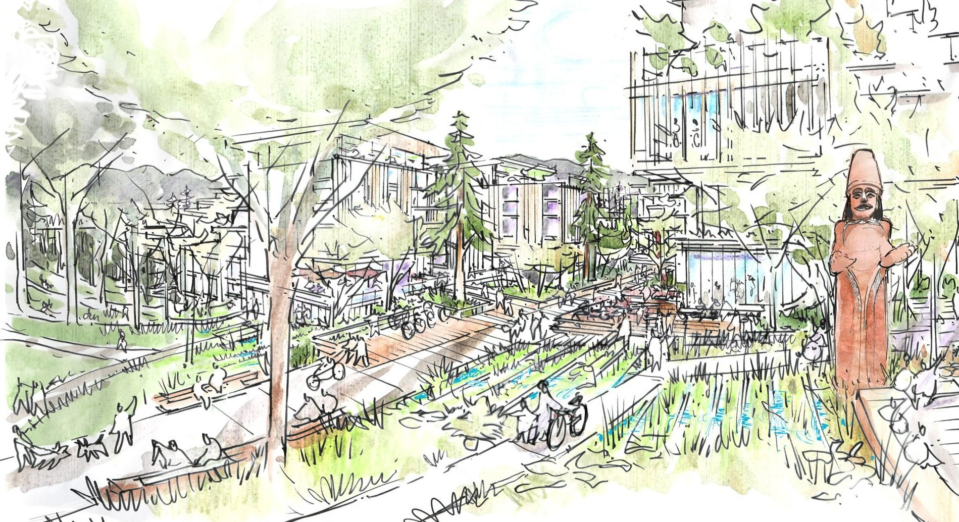
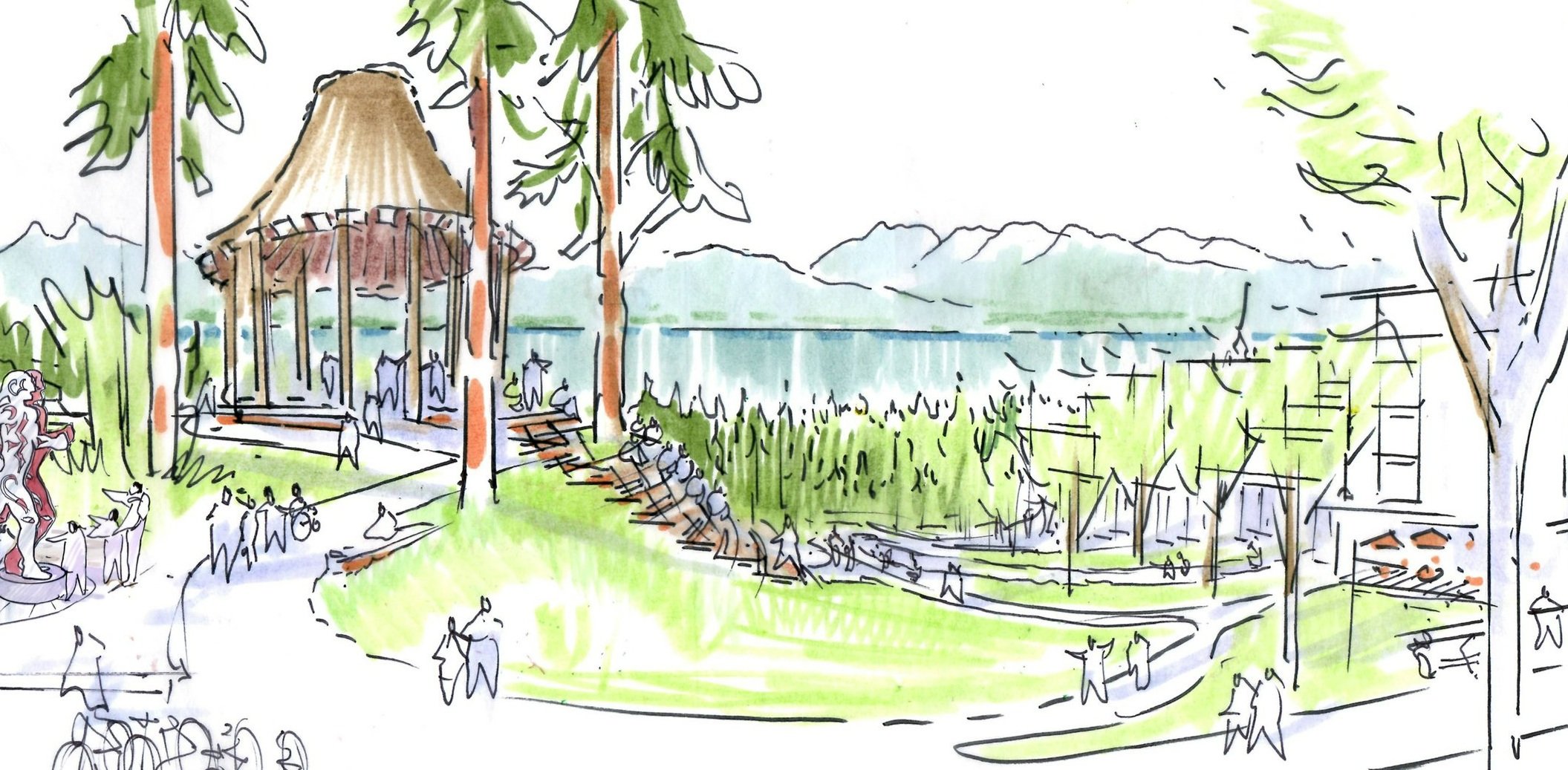
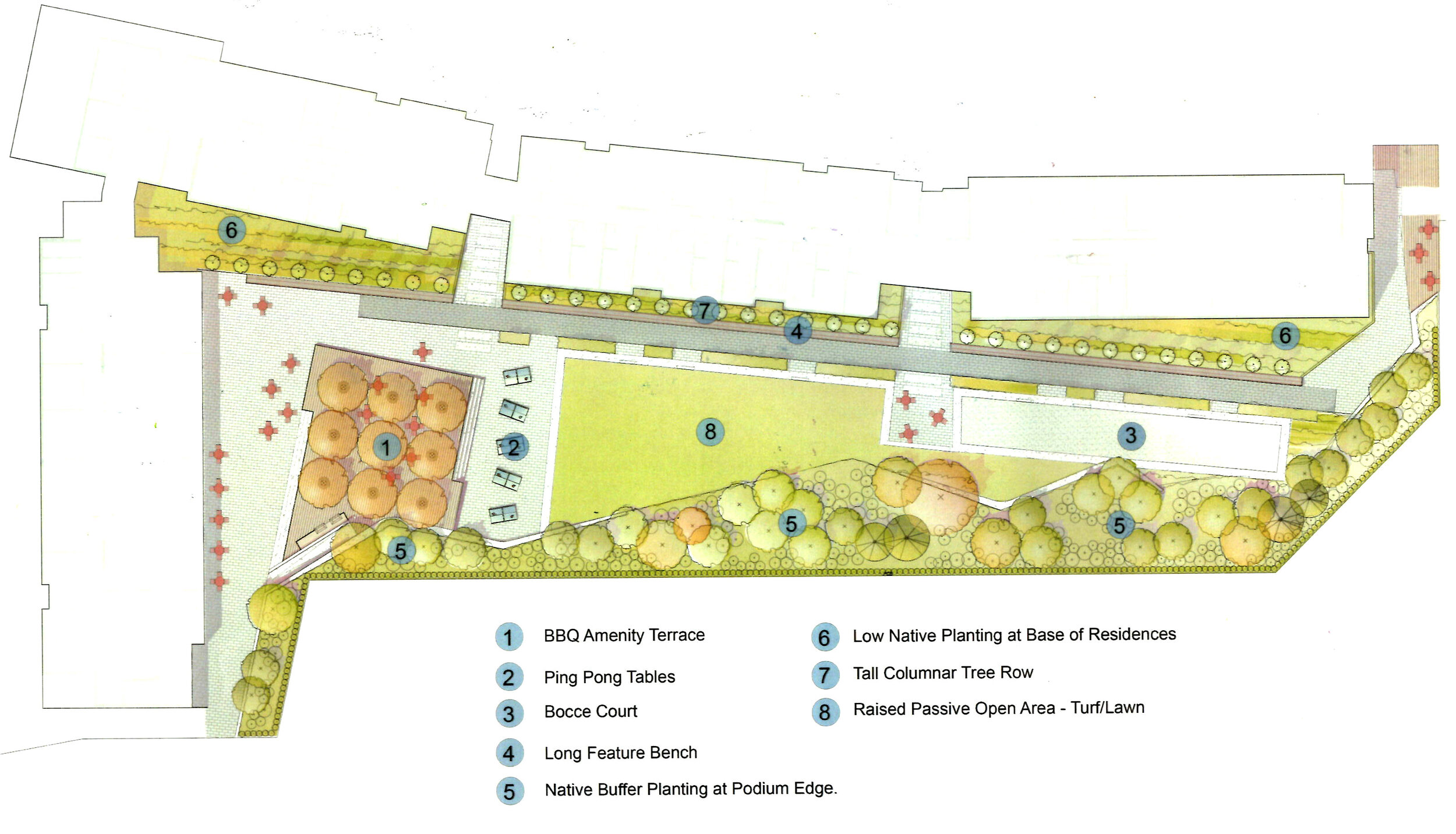
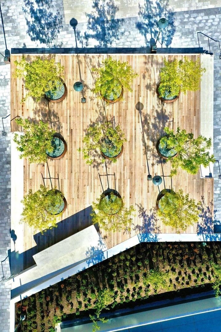
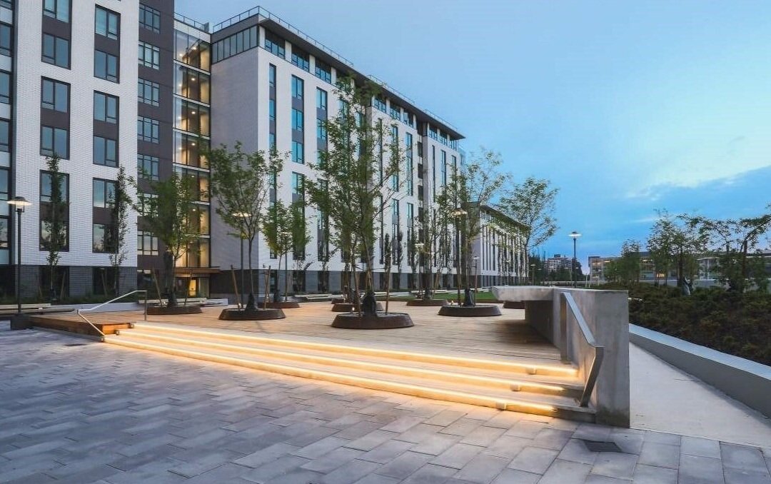
sθәqәlxenәm ts'exwts'áxwi7 (Rainbow Park)
11
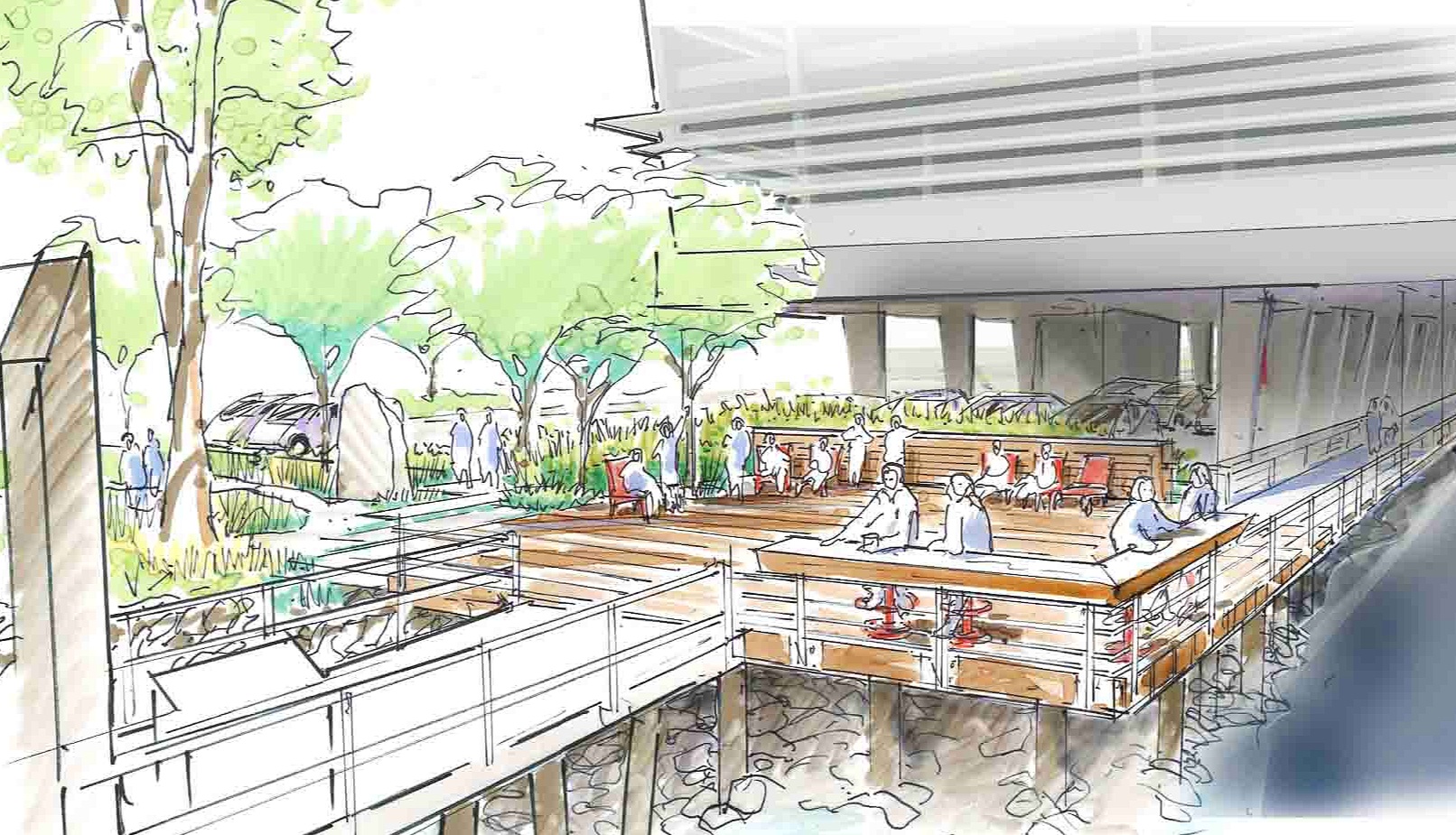
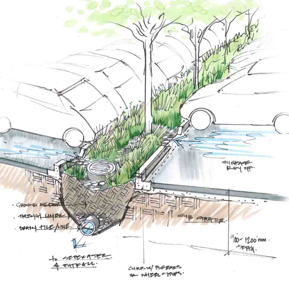
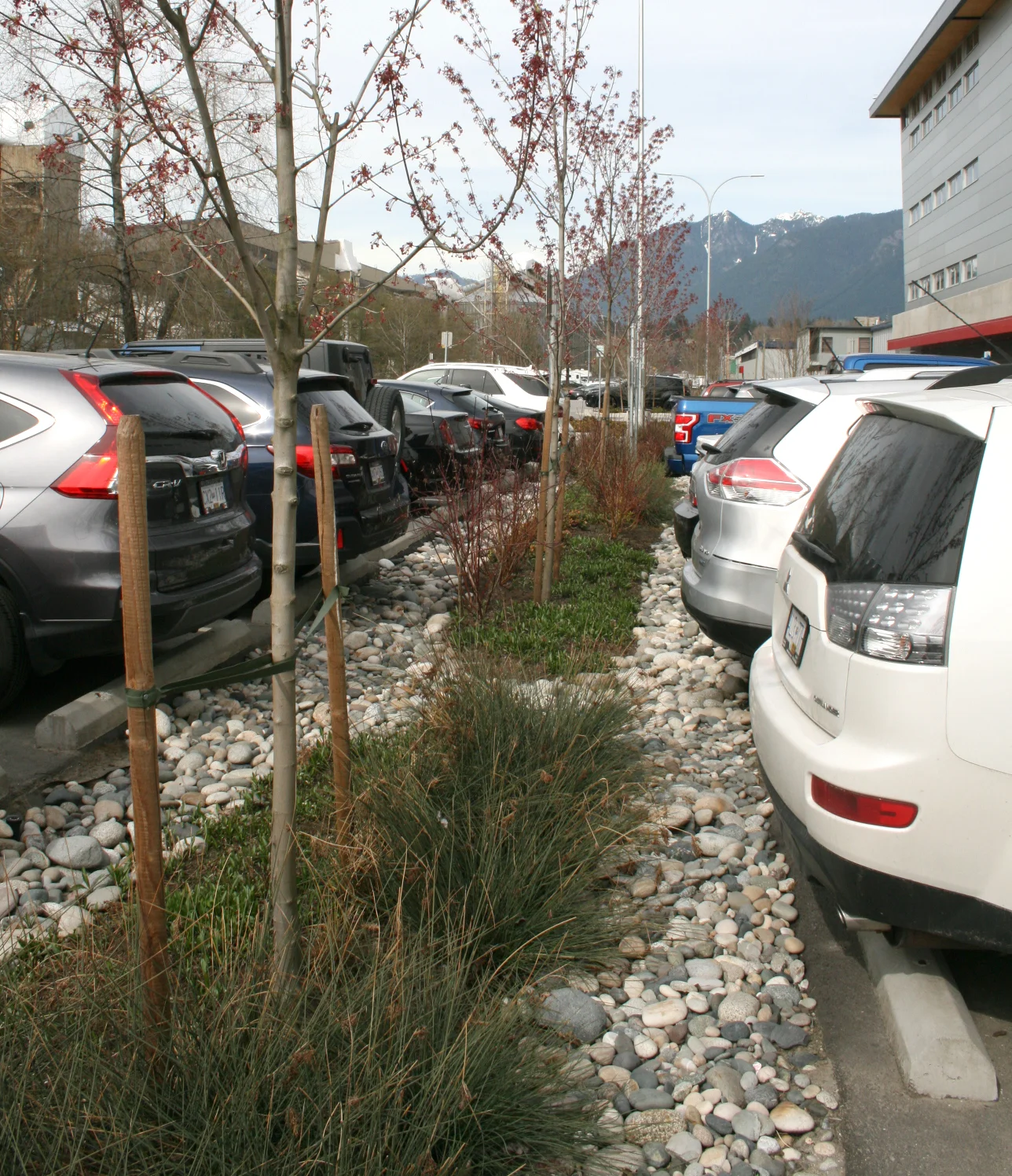
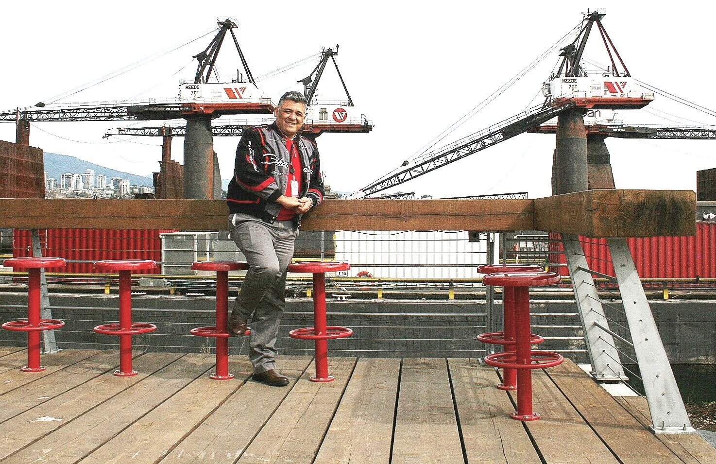
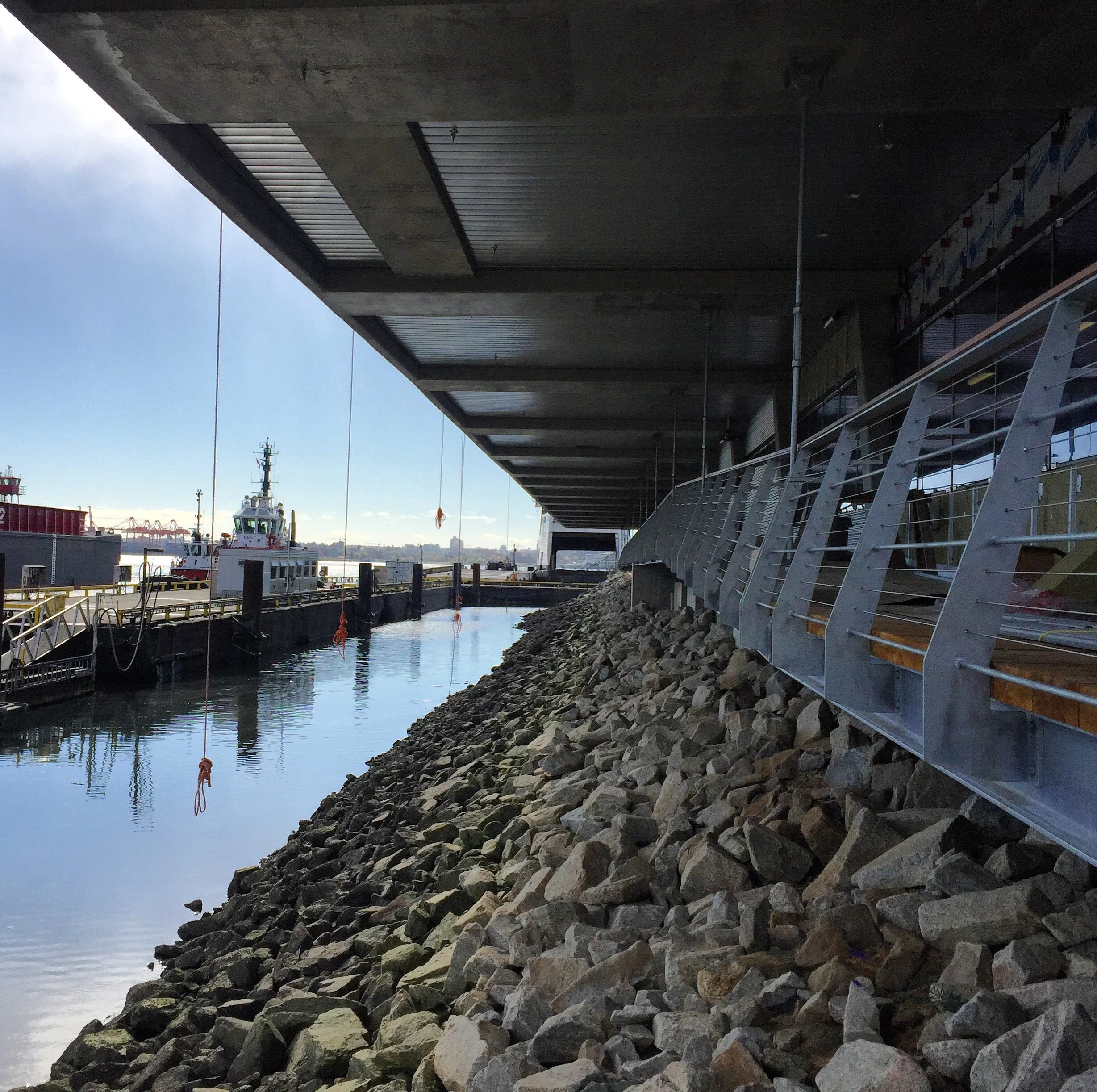
Seaspan
33
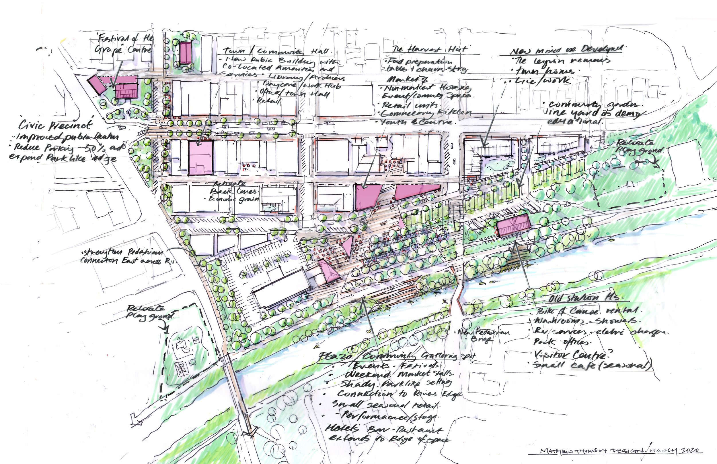
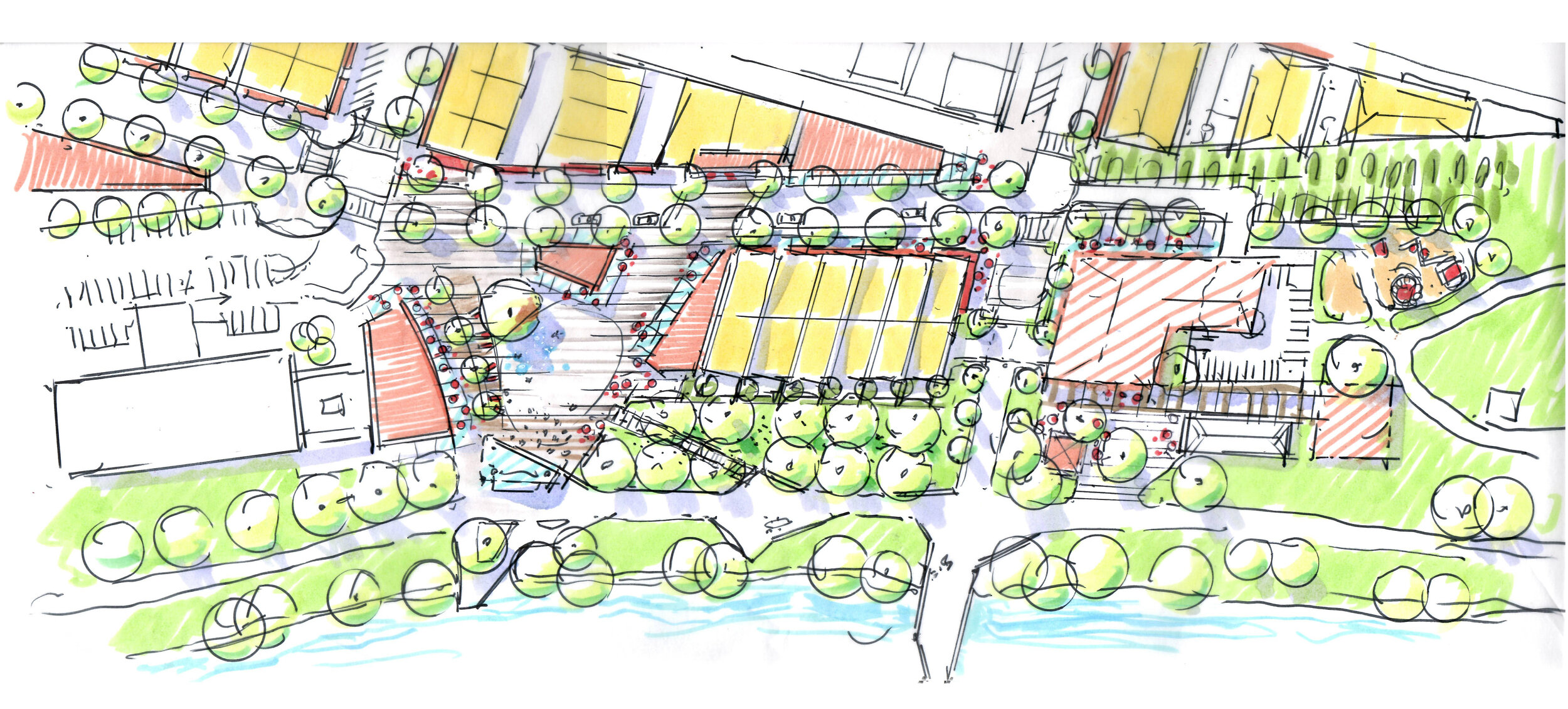
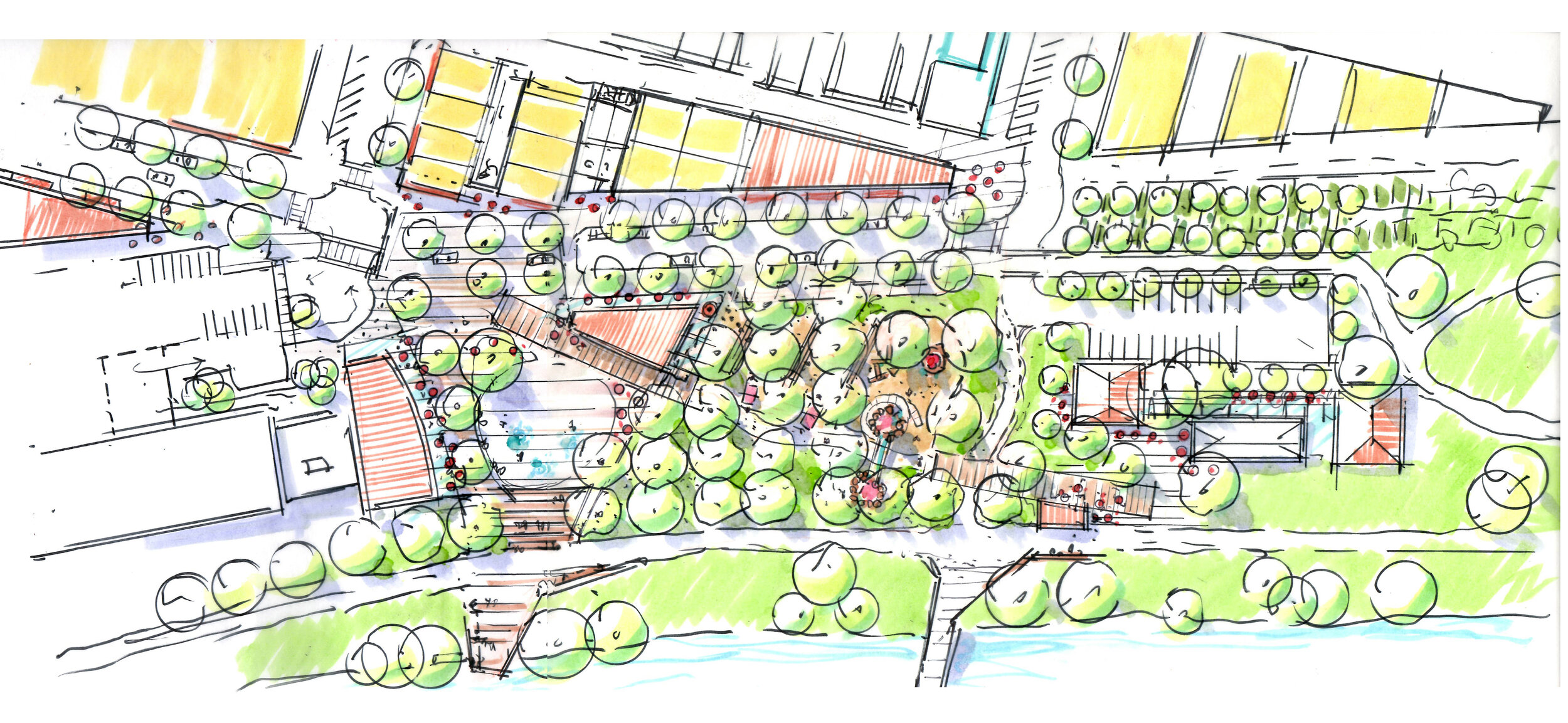
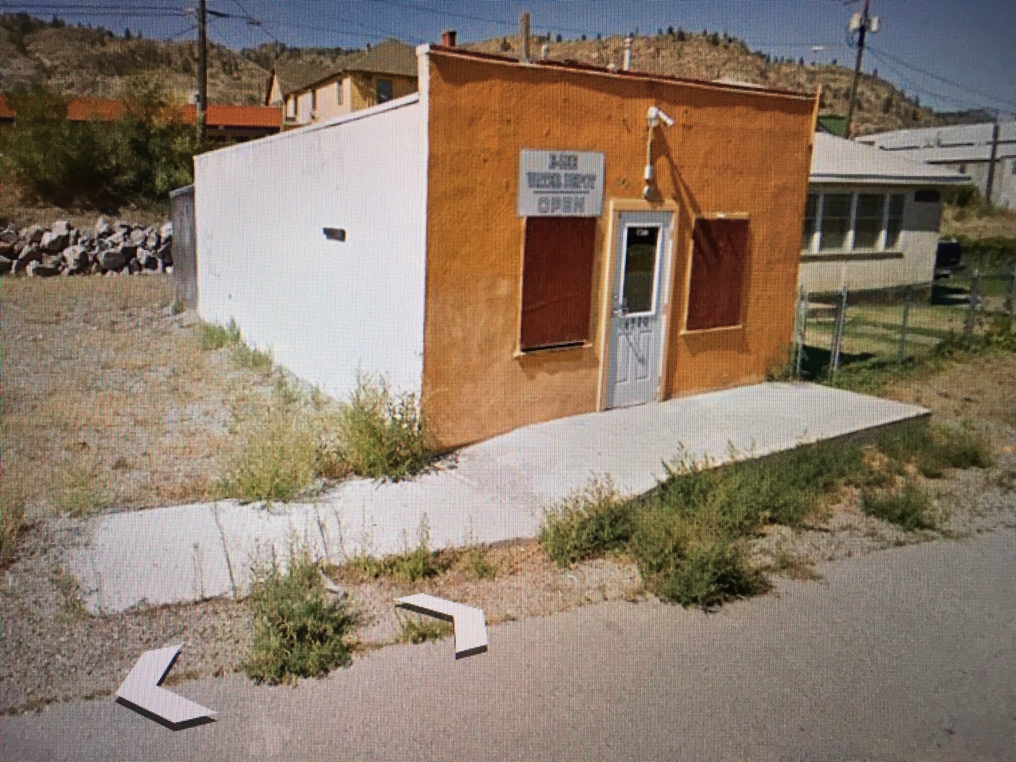
Oliver BC
19
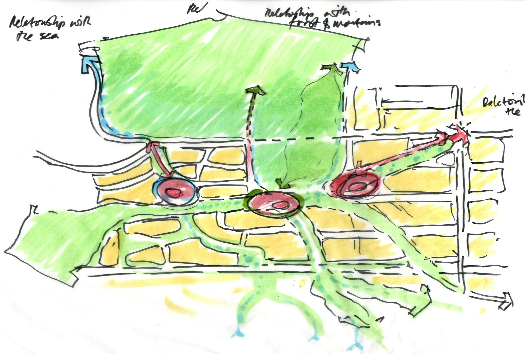
Jericho Lands

25
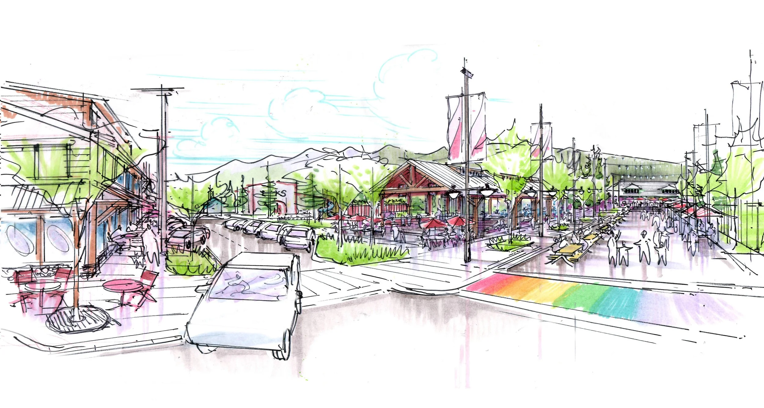
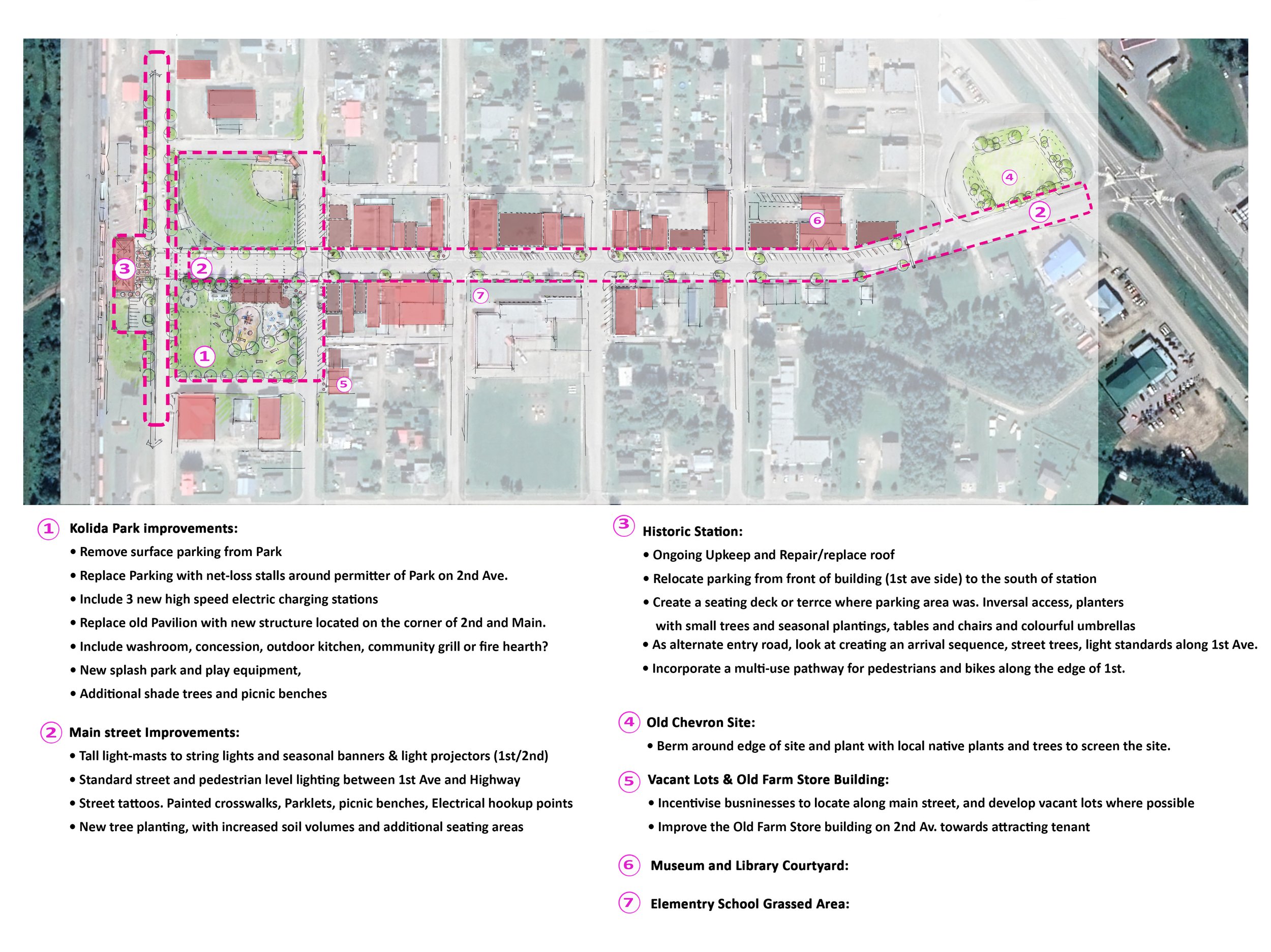
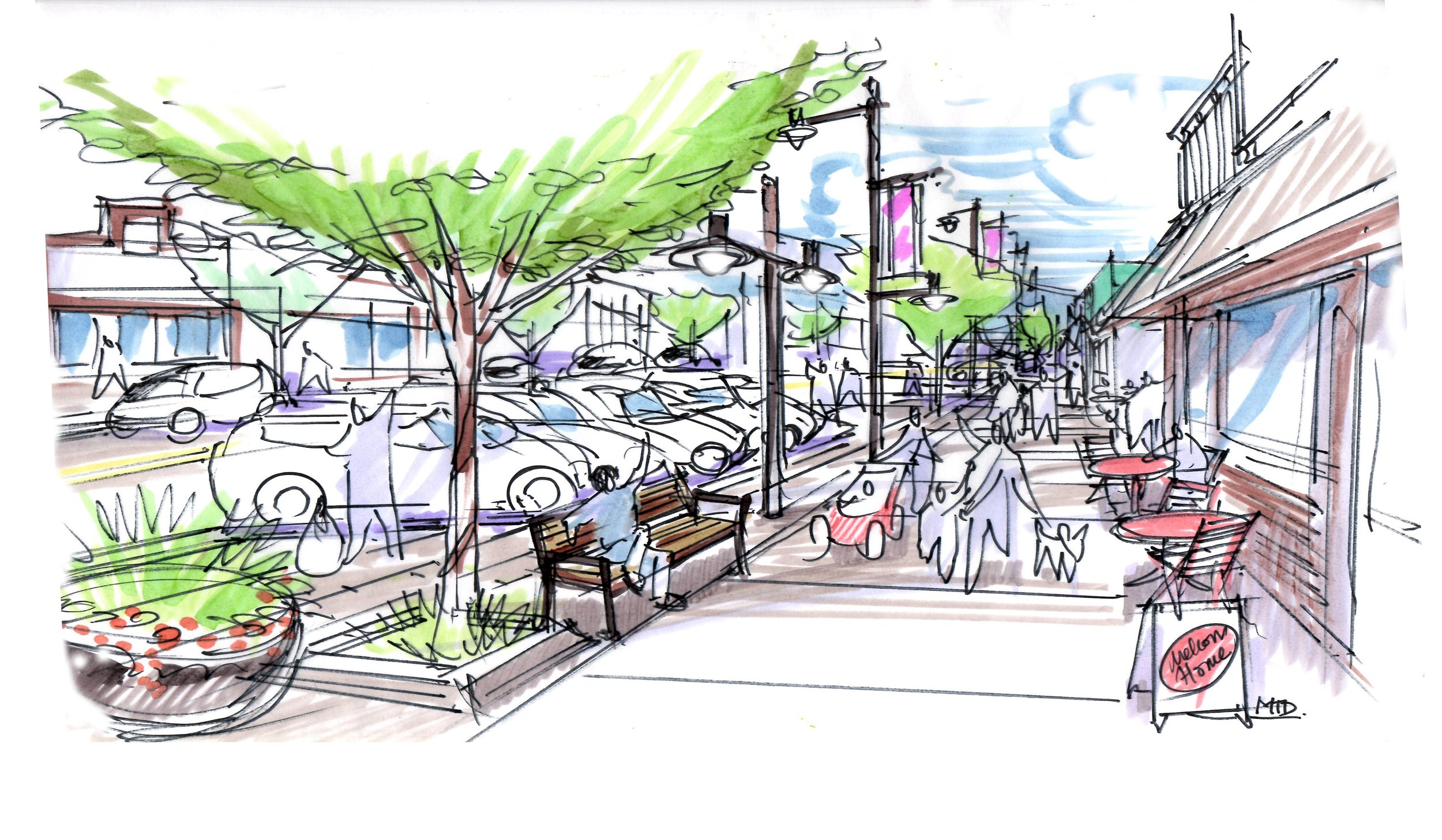
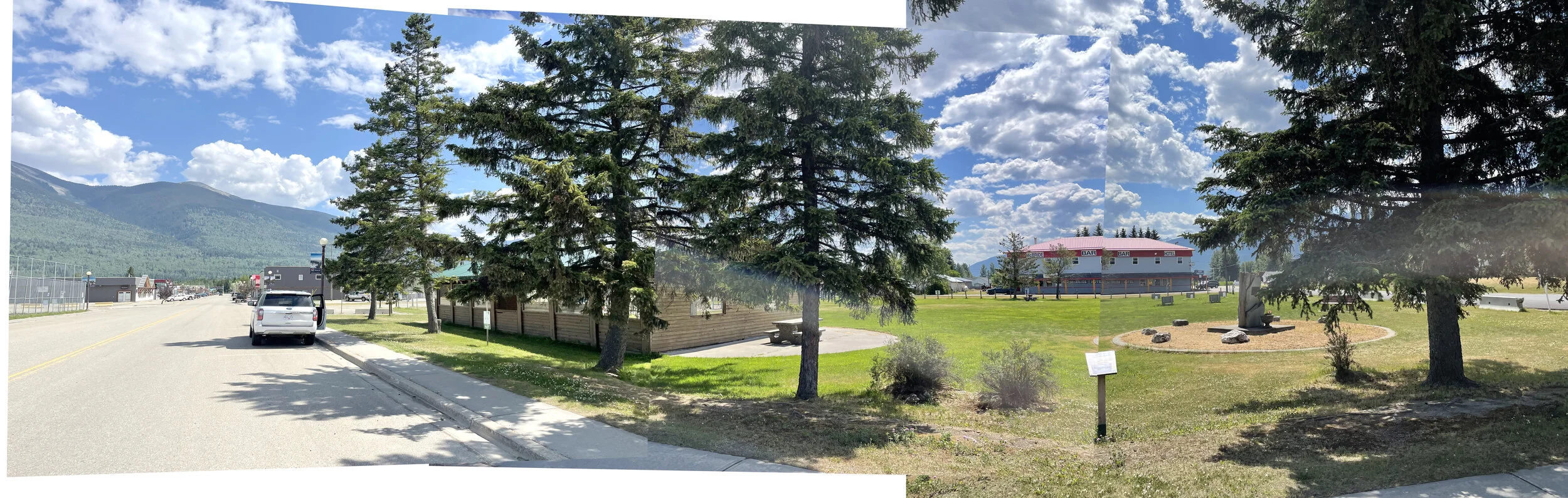
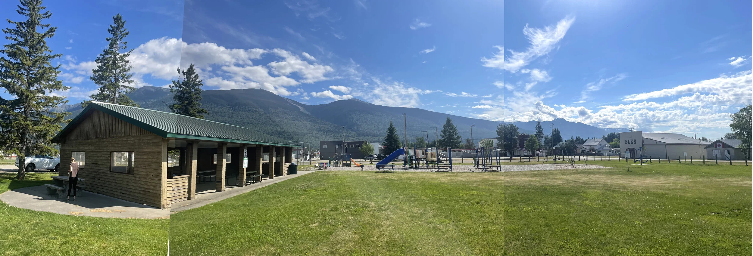
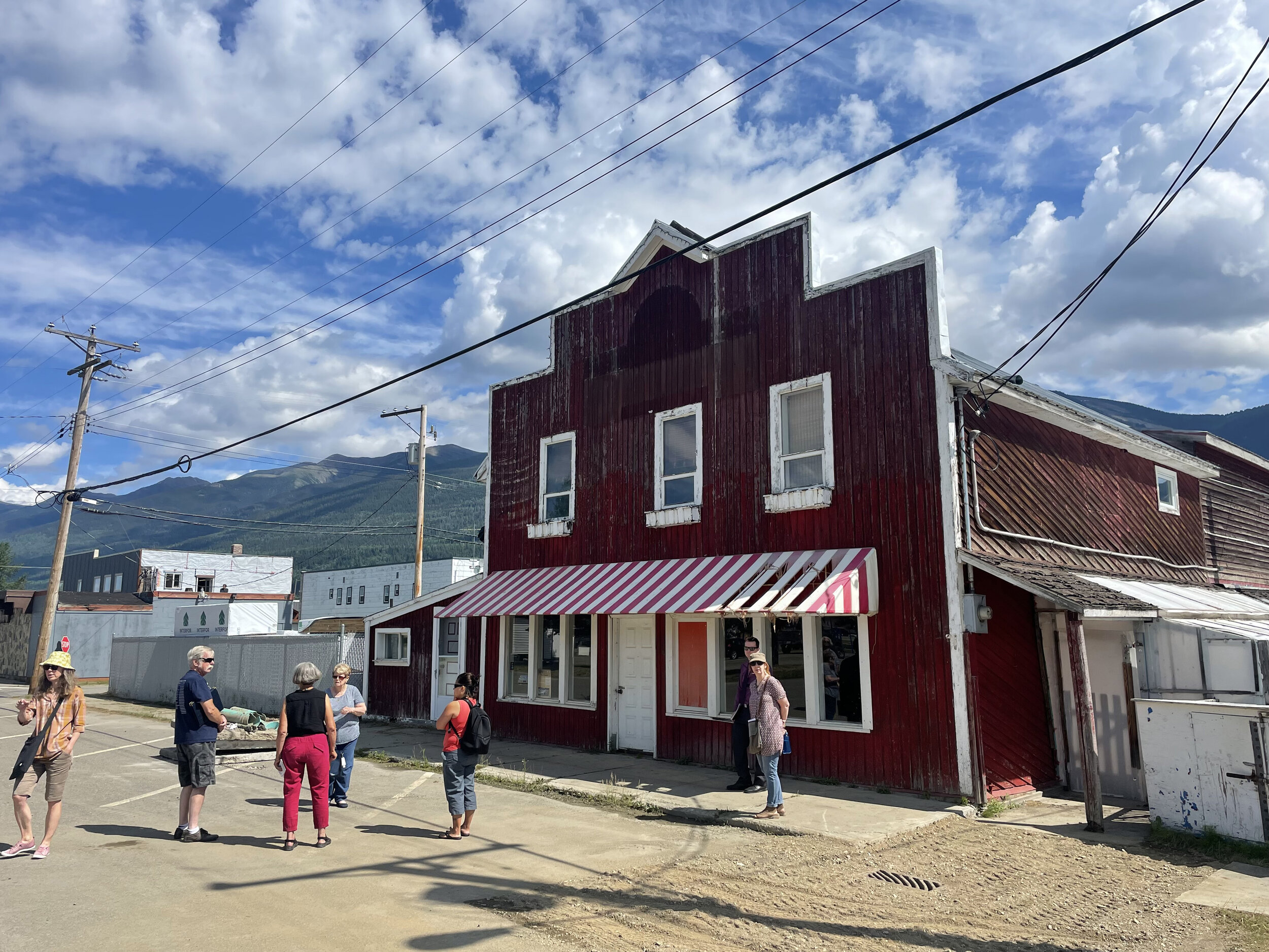
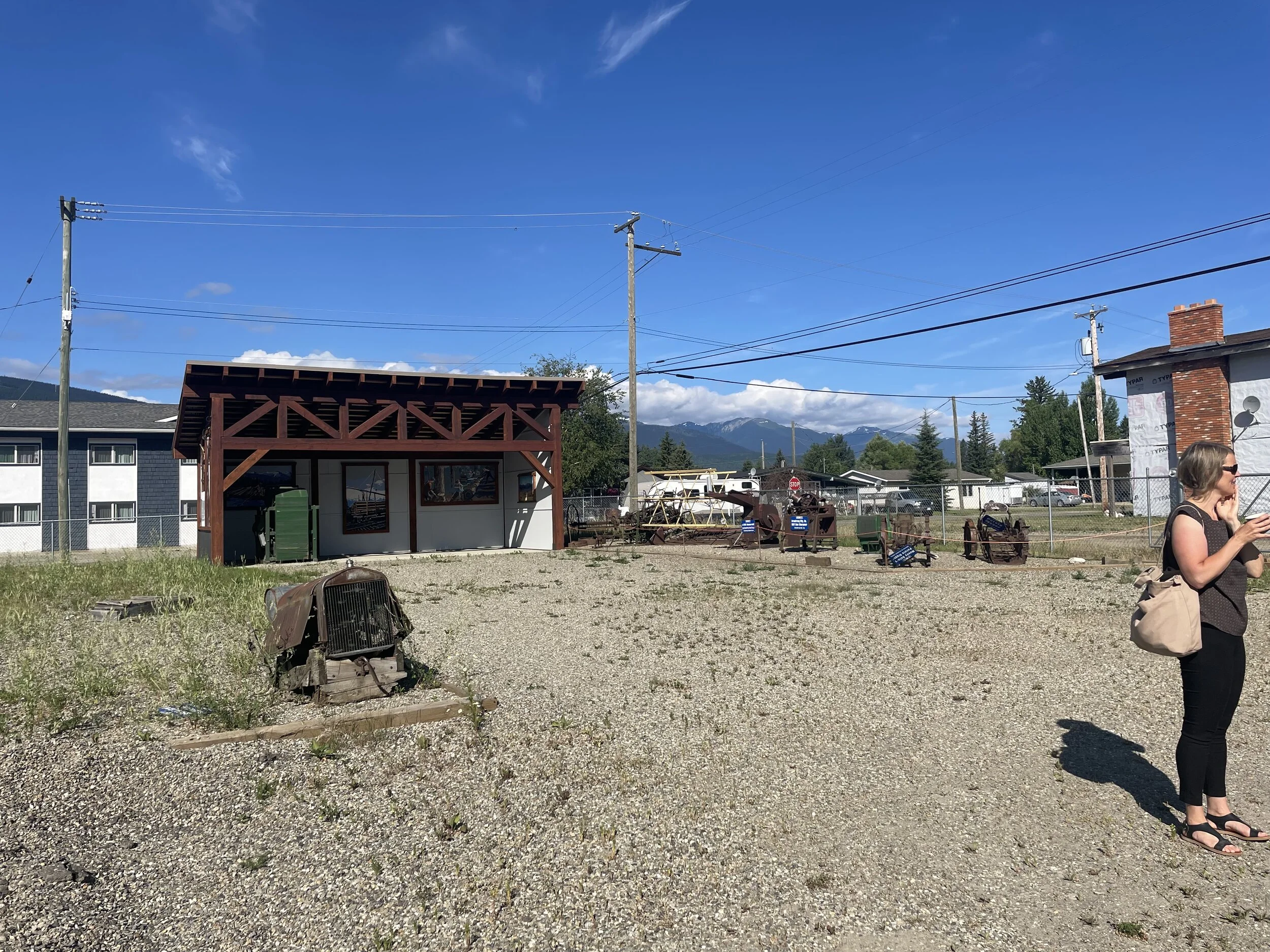
Village of McBride
7
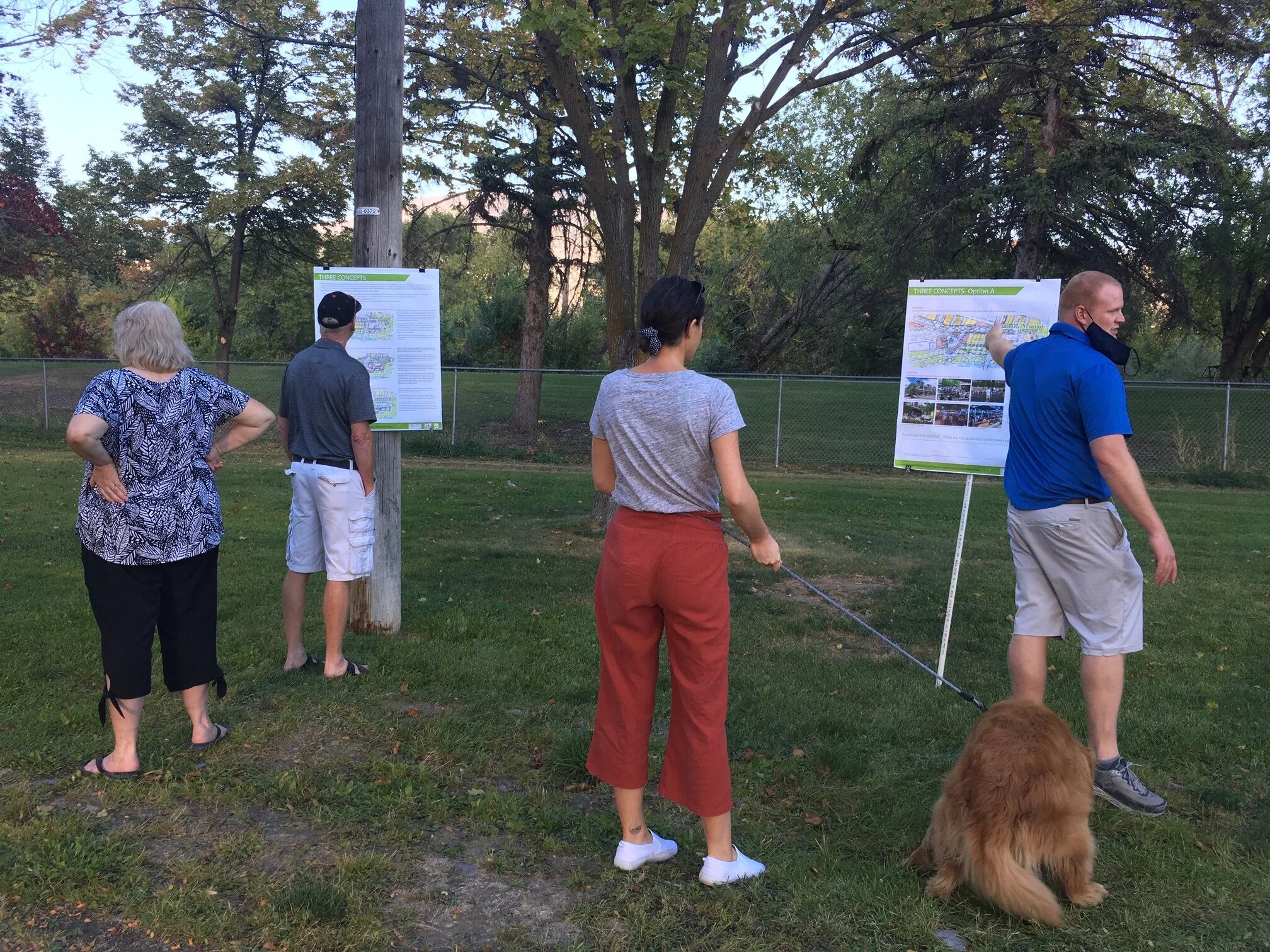
Oliver Plaza and Park
10
UBC Gage South
6
Calgary TOD

8
View Royal OCP

17
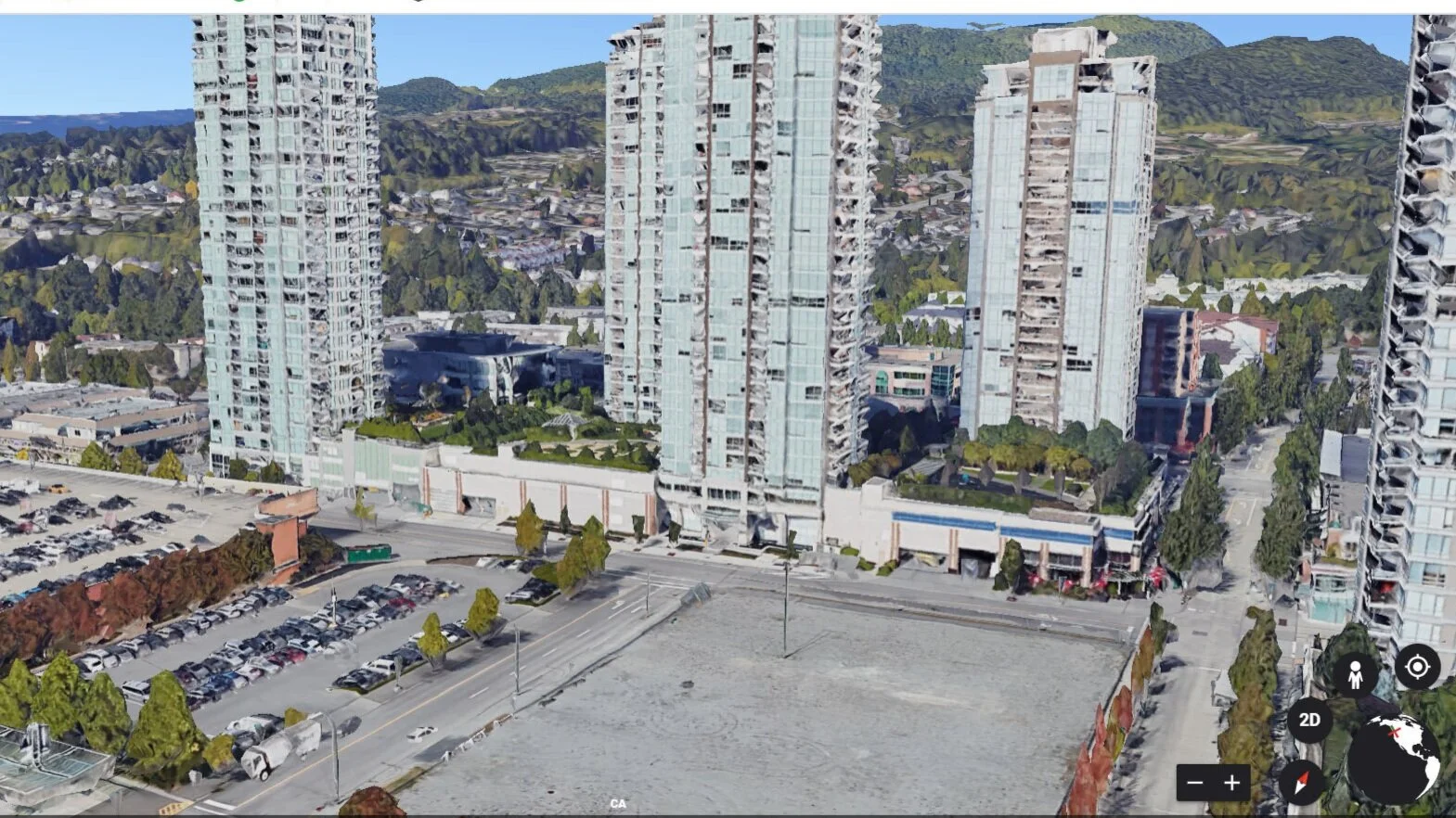
Coquitlam CIty Centre

5
Community Food Hub

11
Burnaby Housing Strategy
13
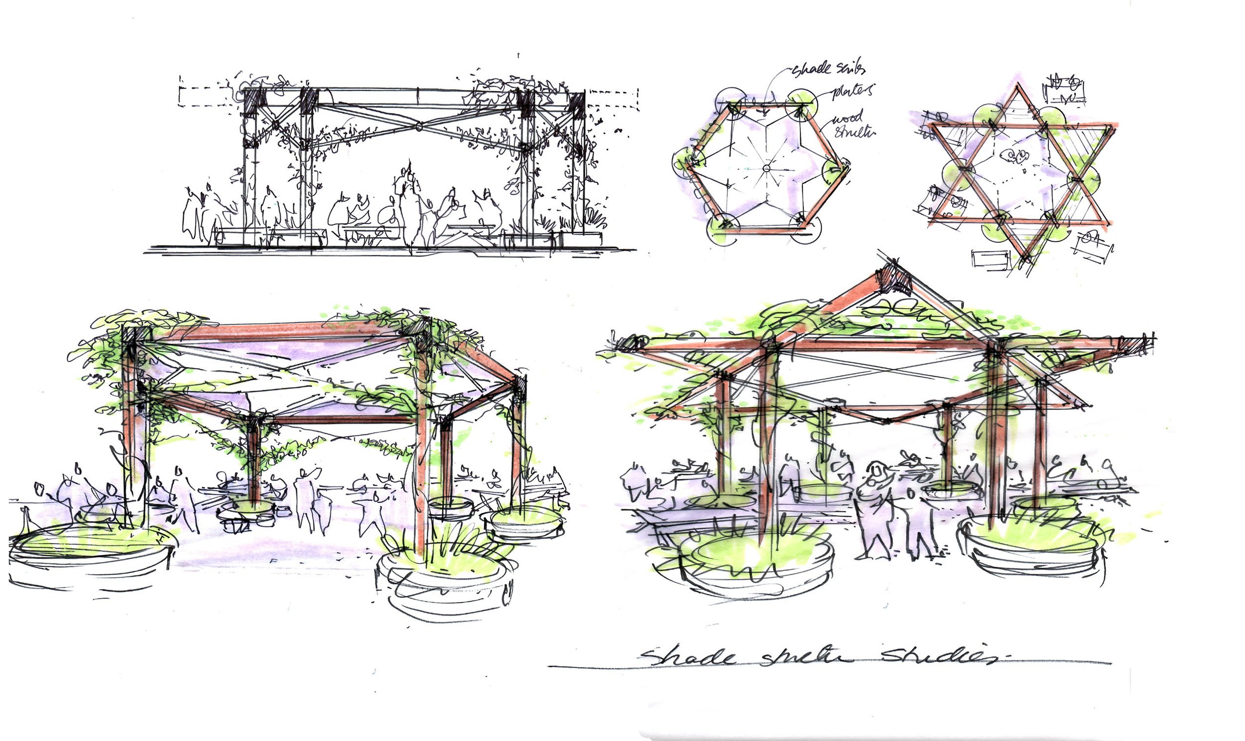
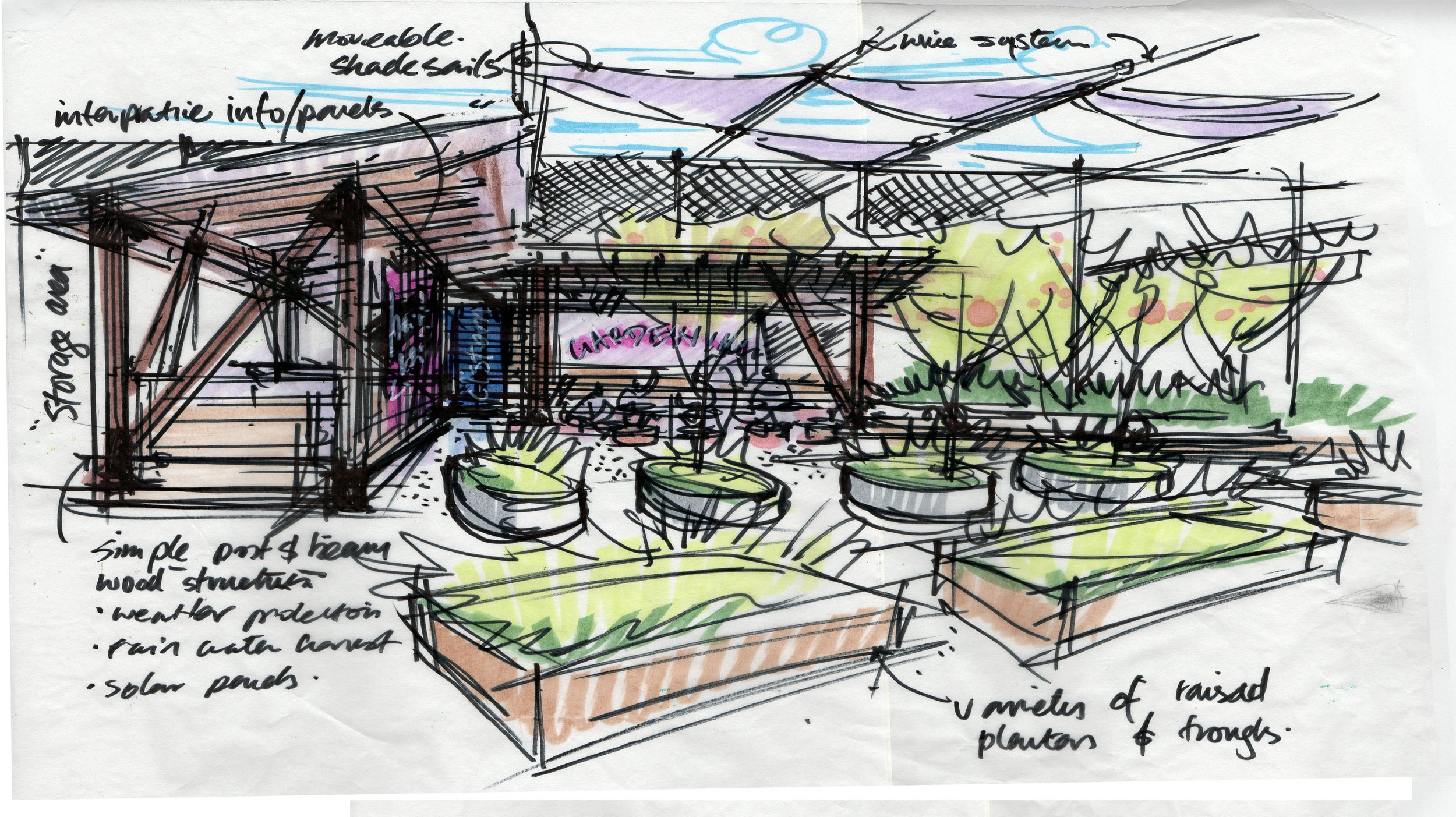
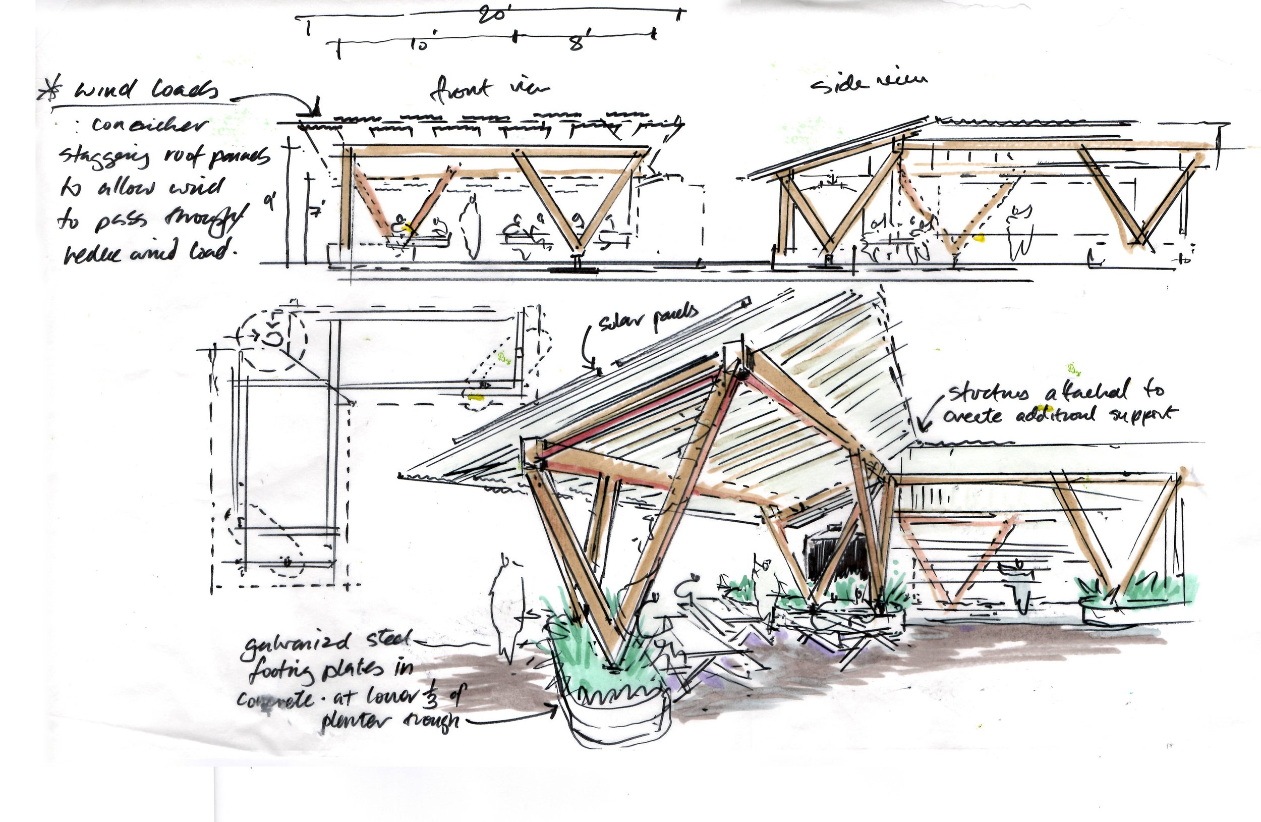
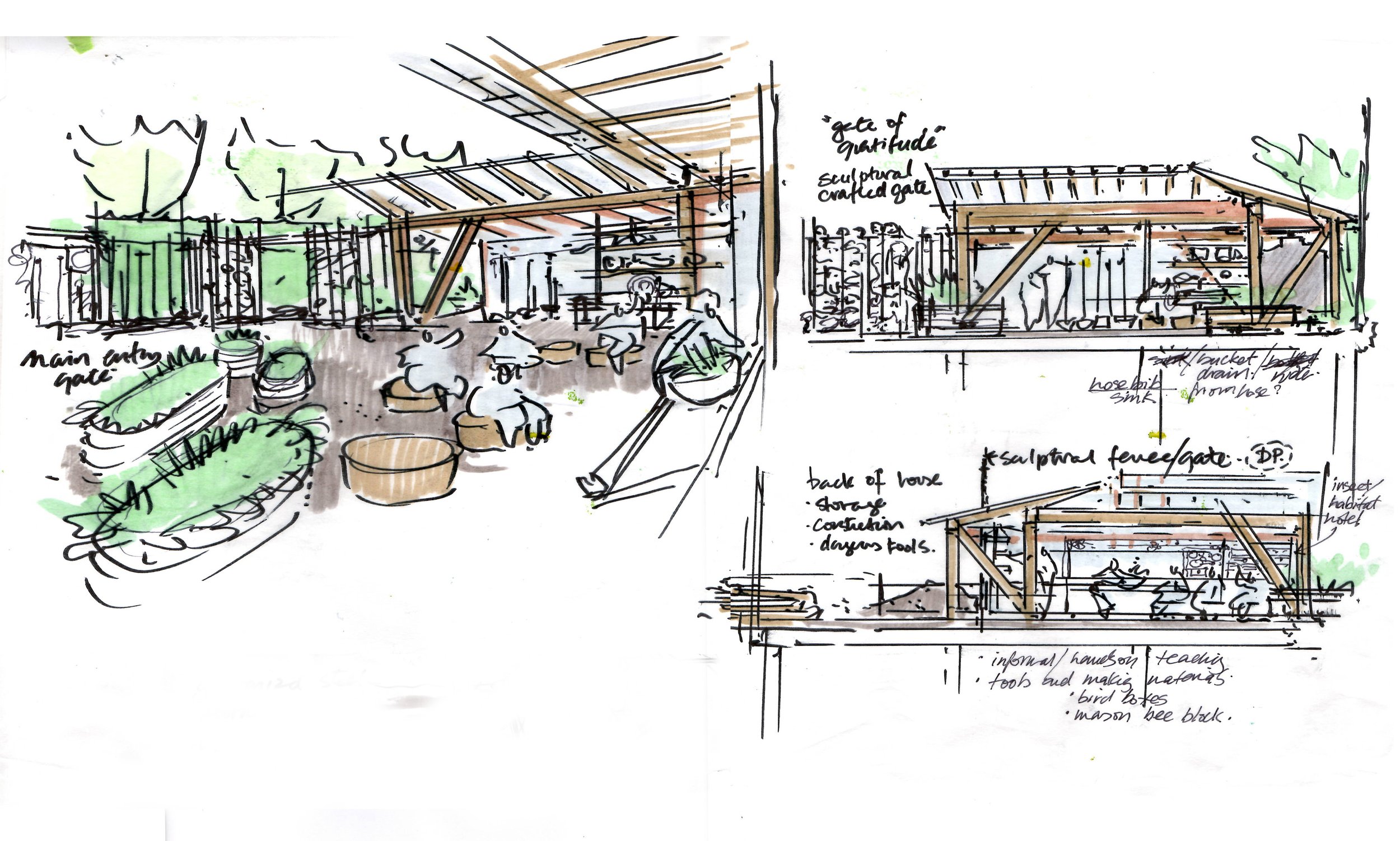
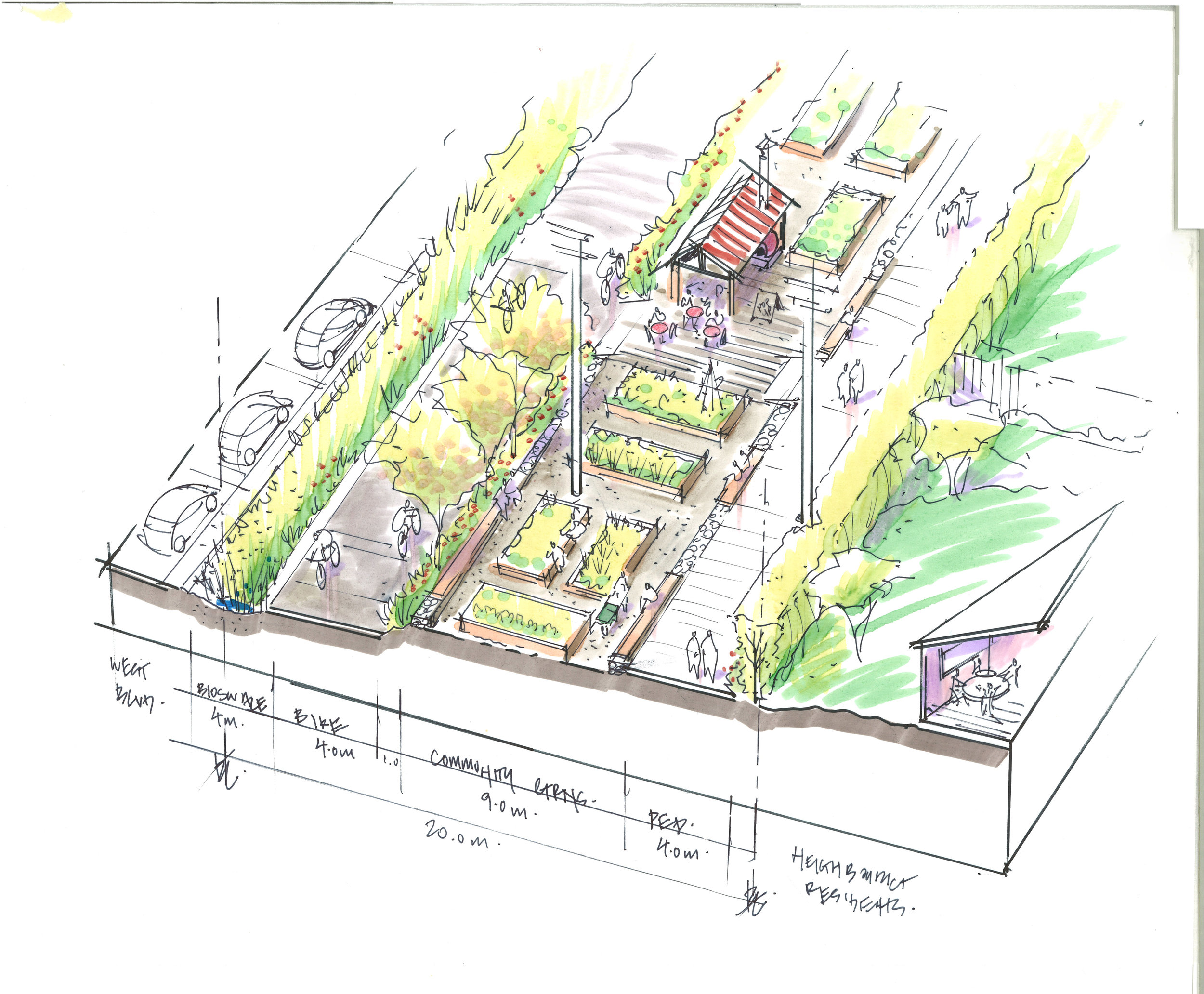
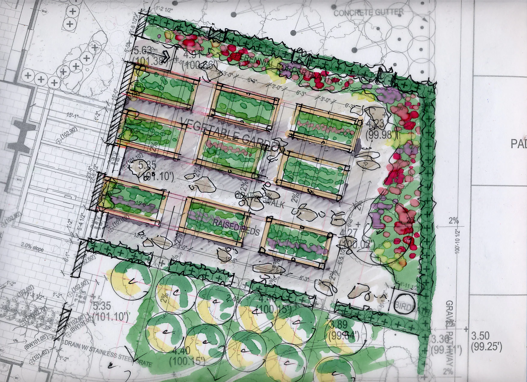
Community Garden

12
Ladysmith OCP
19
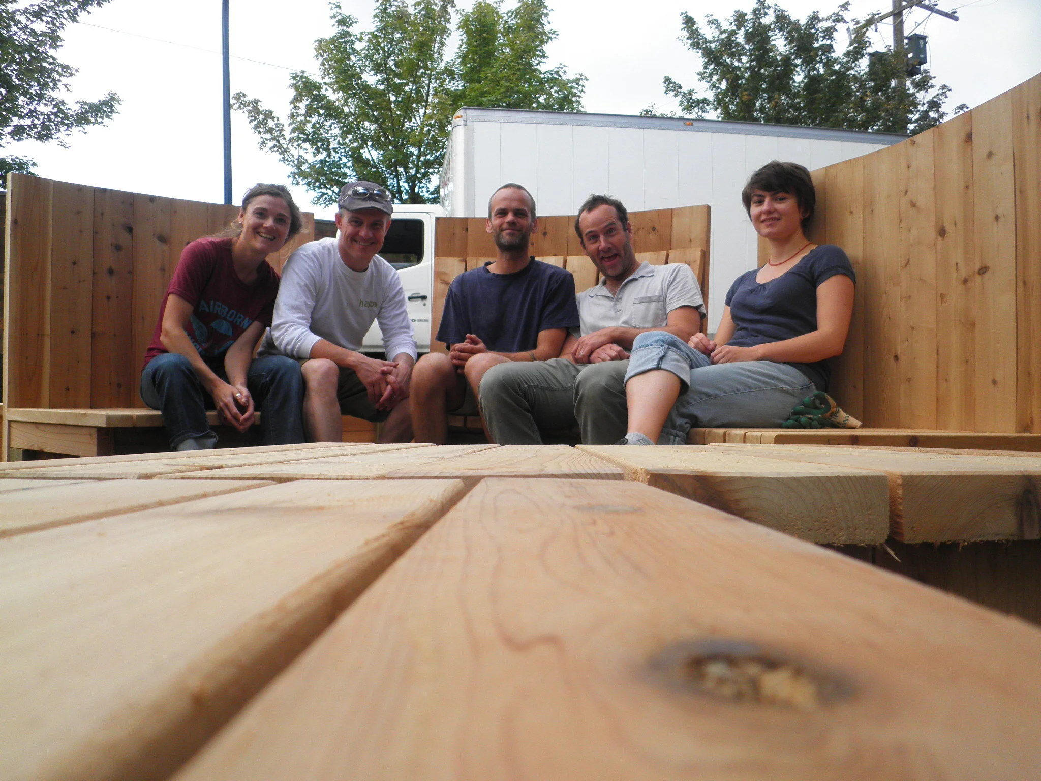
Latimer Park

17
Waterways

9
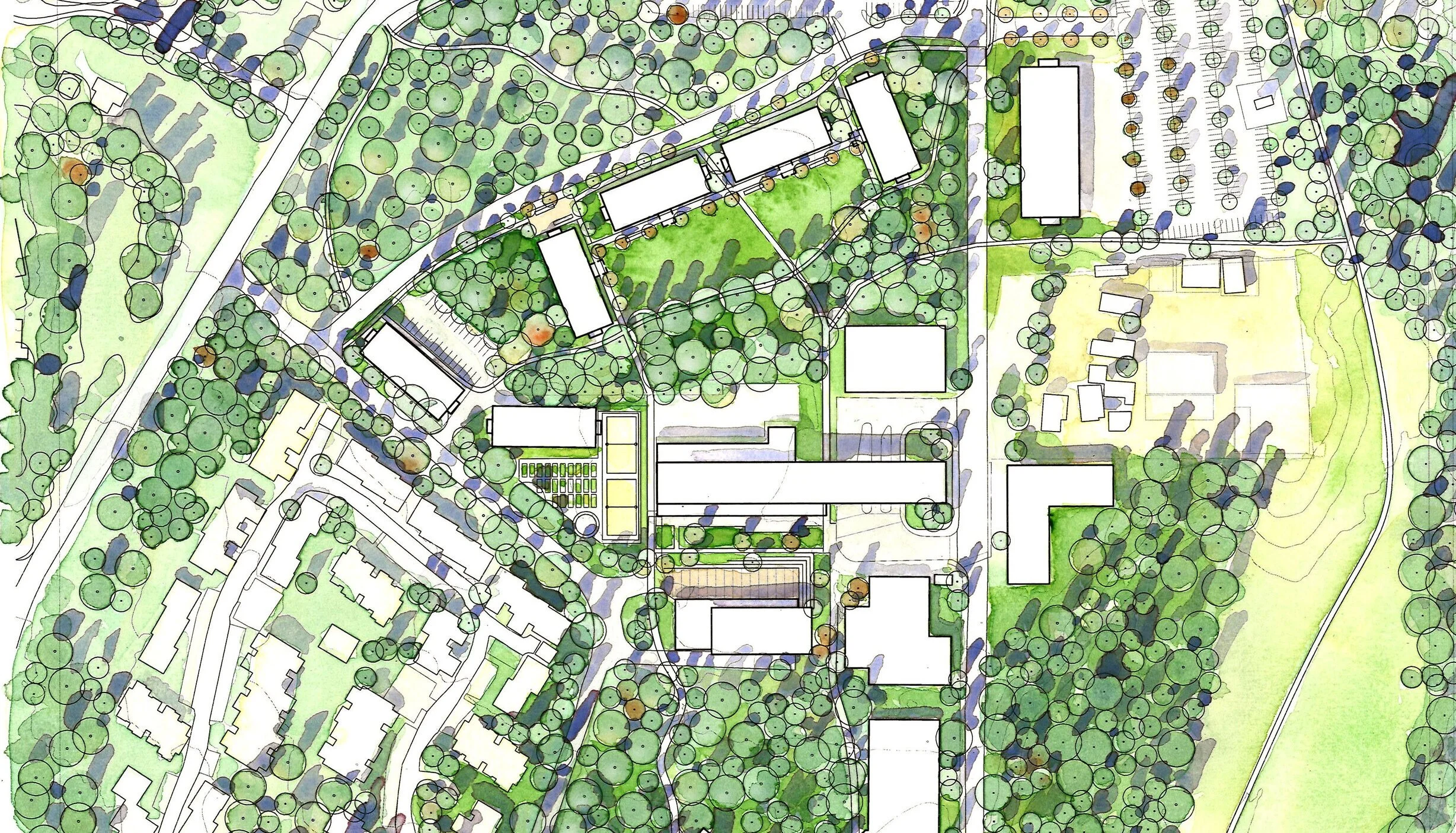
Capilano University

38
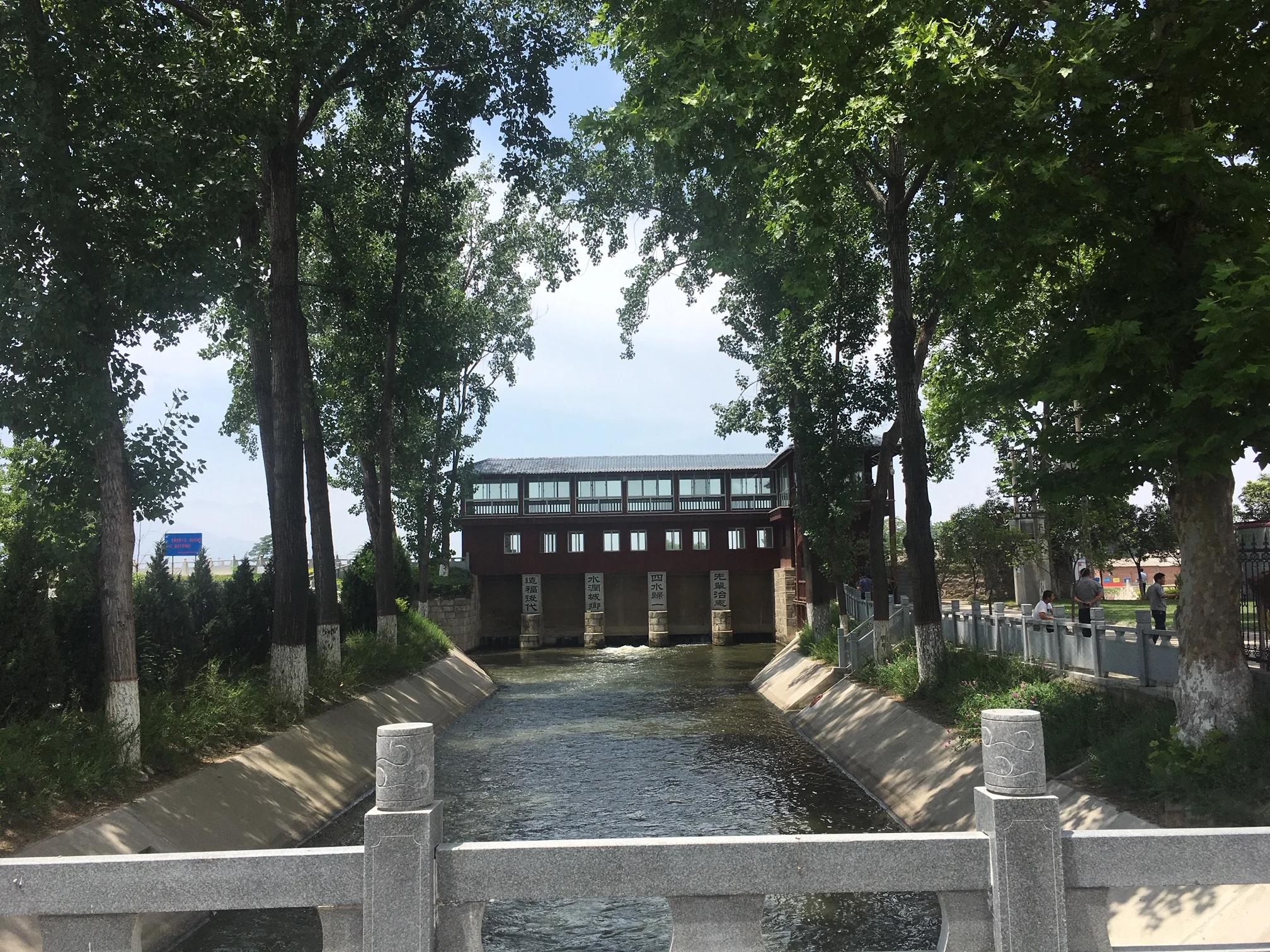
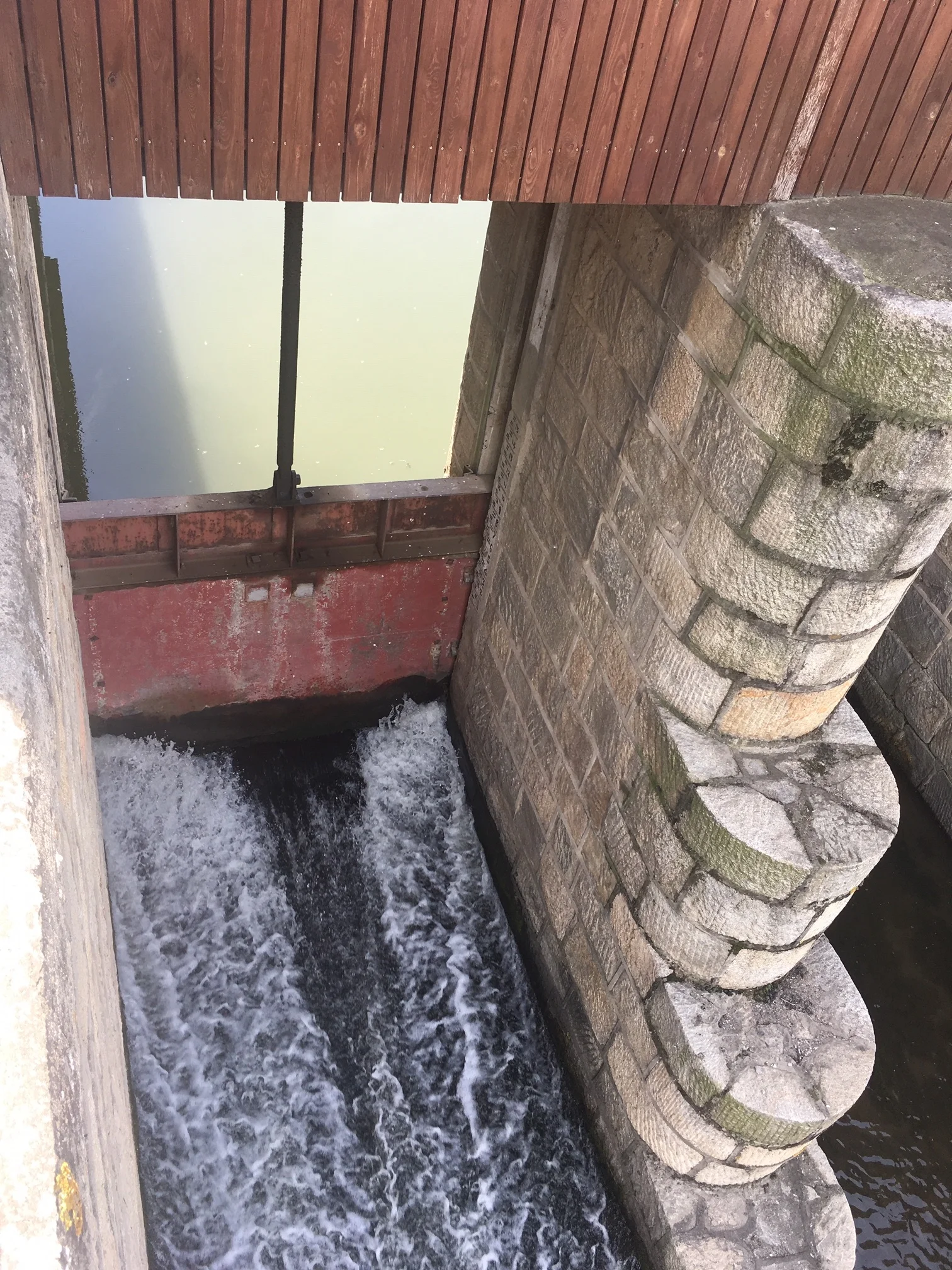
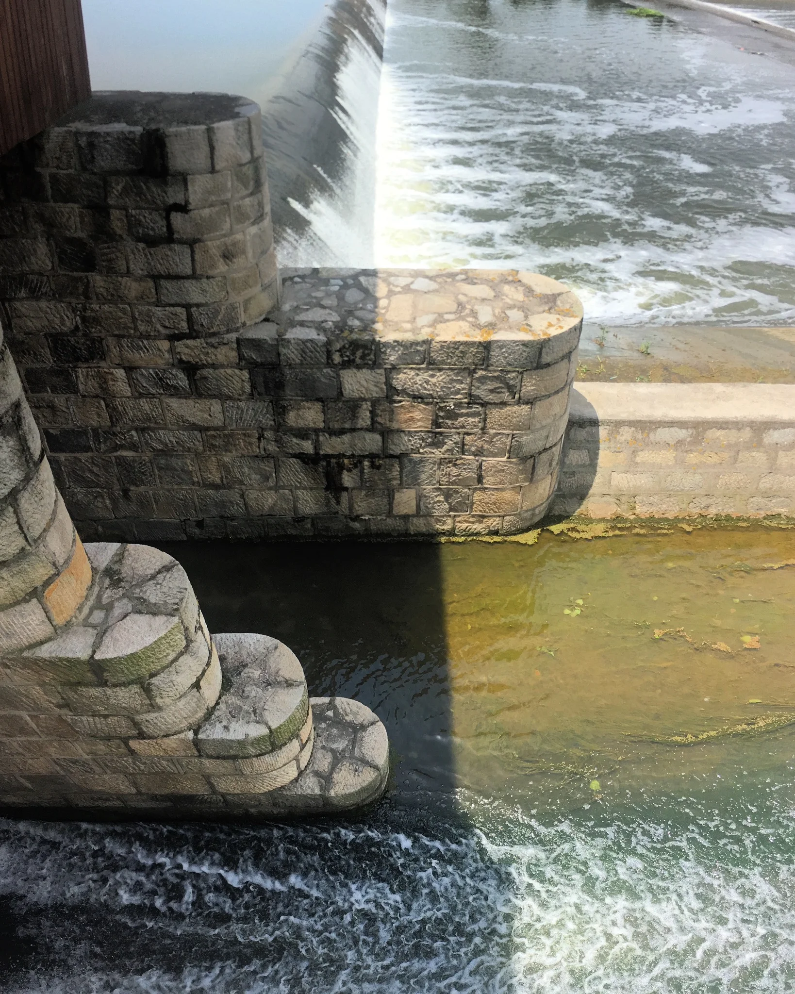
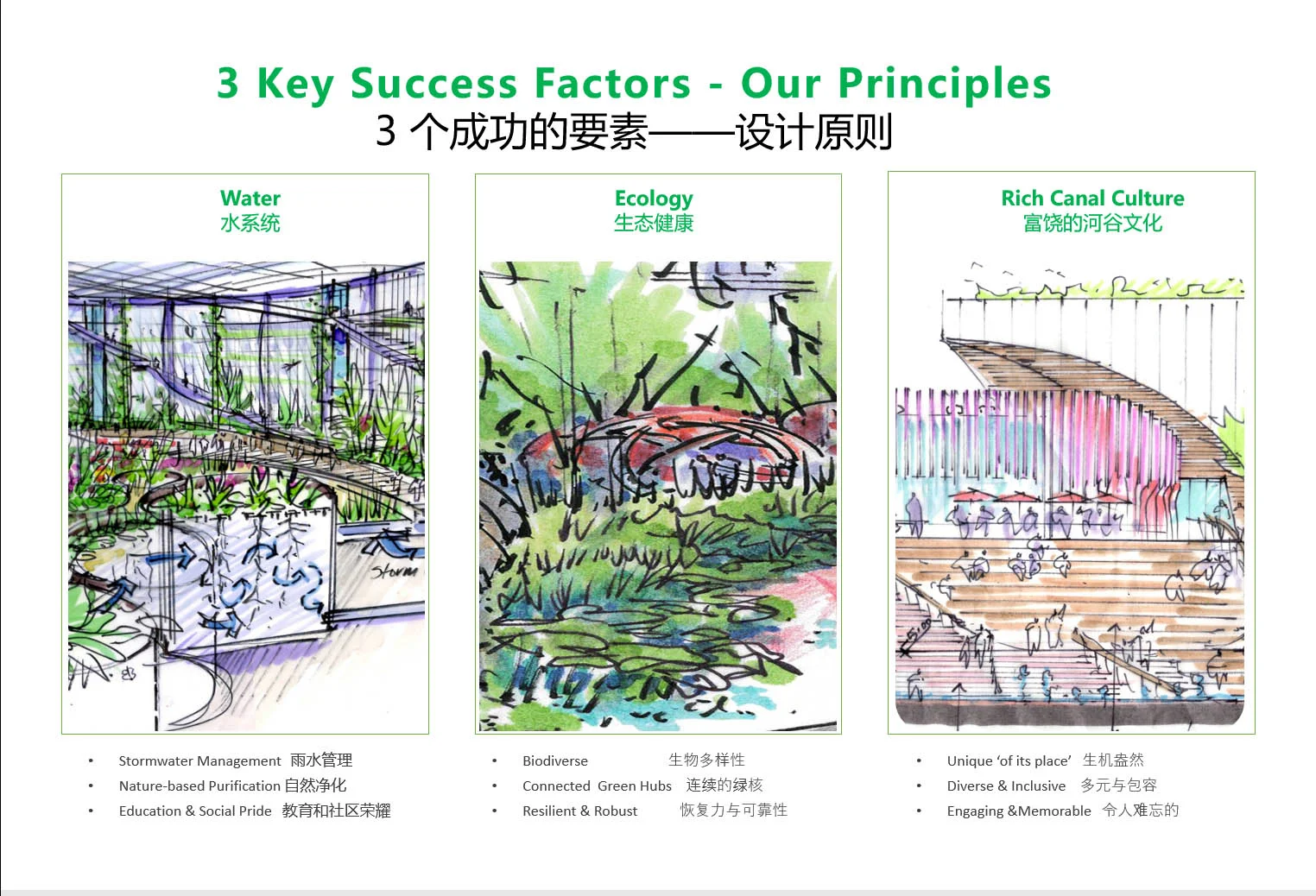
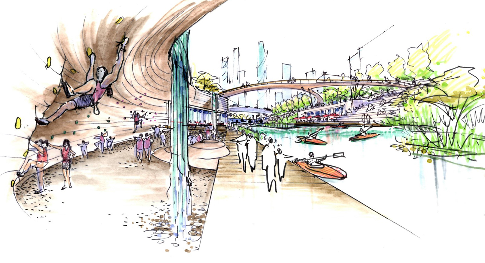
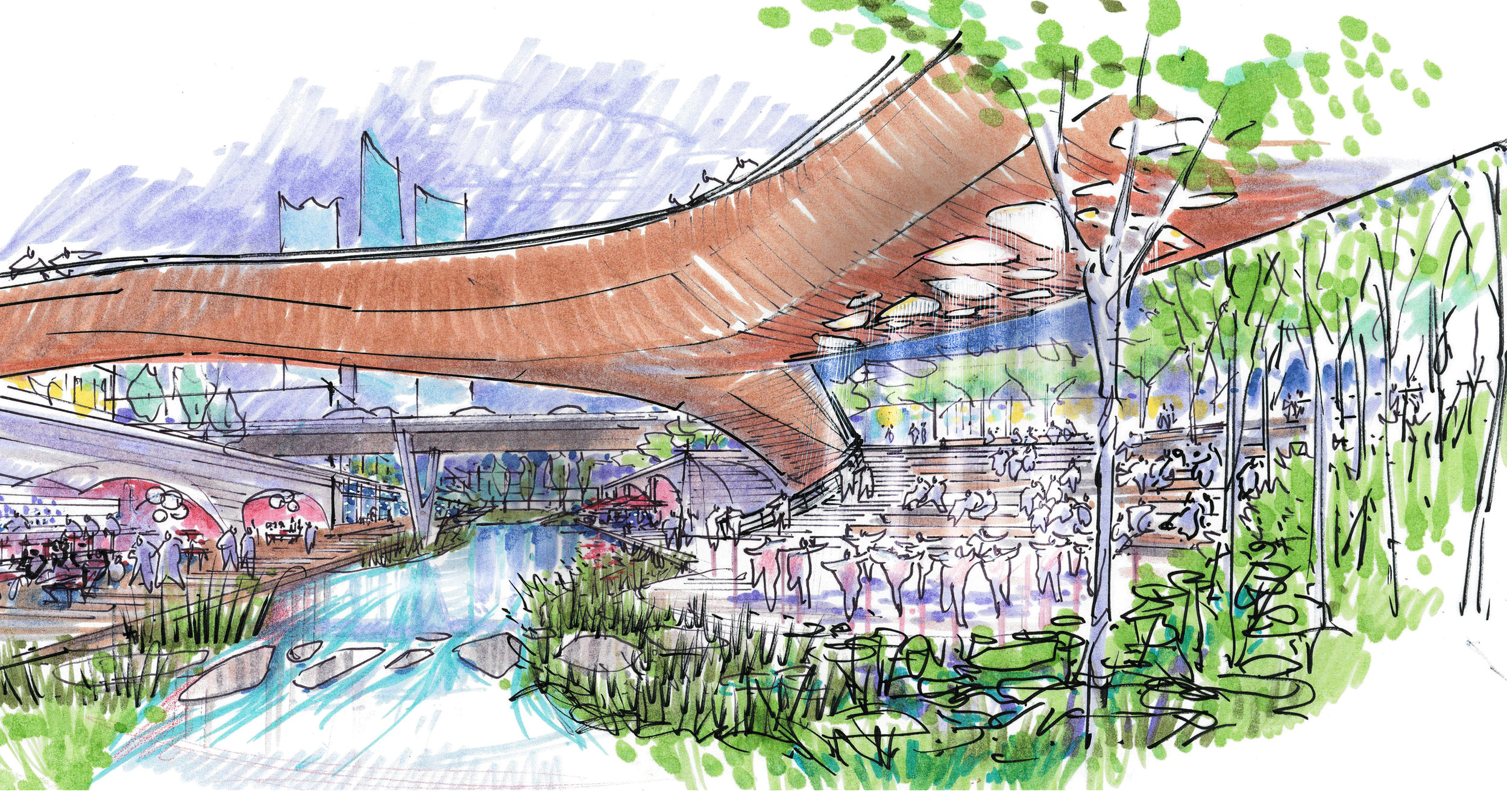
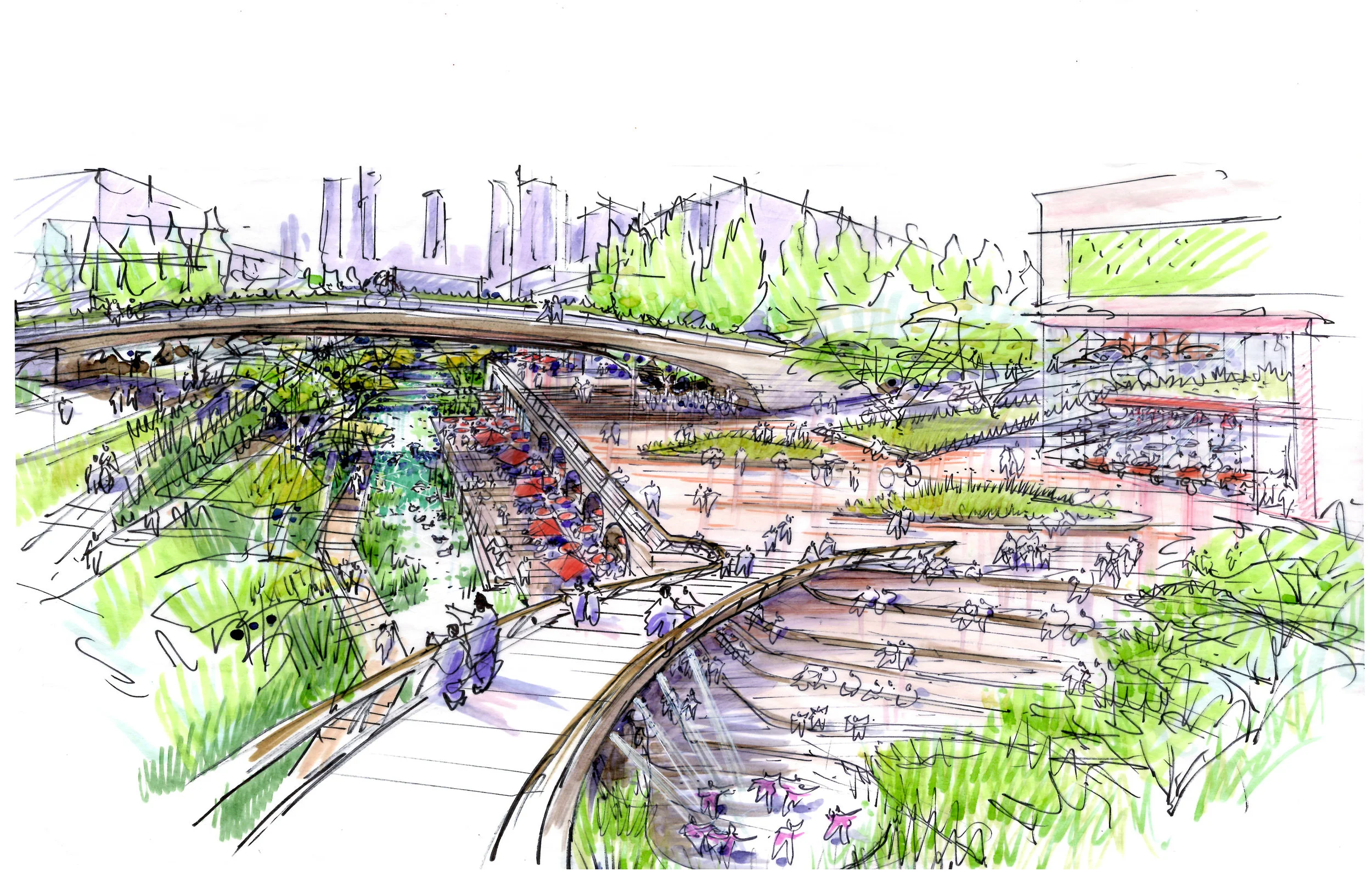
Yong An Canal

15
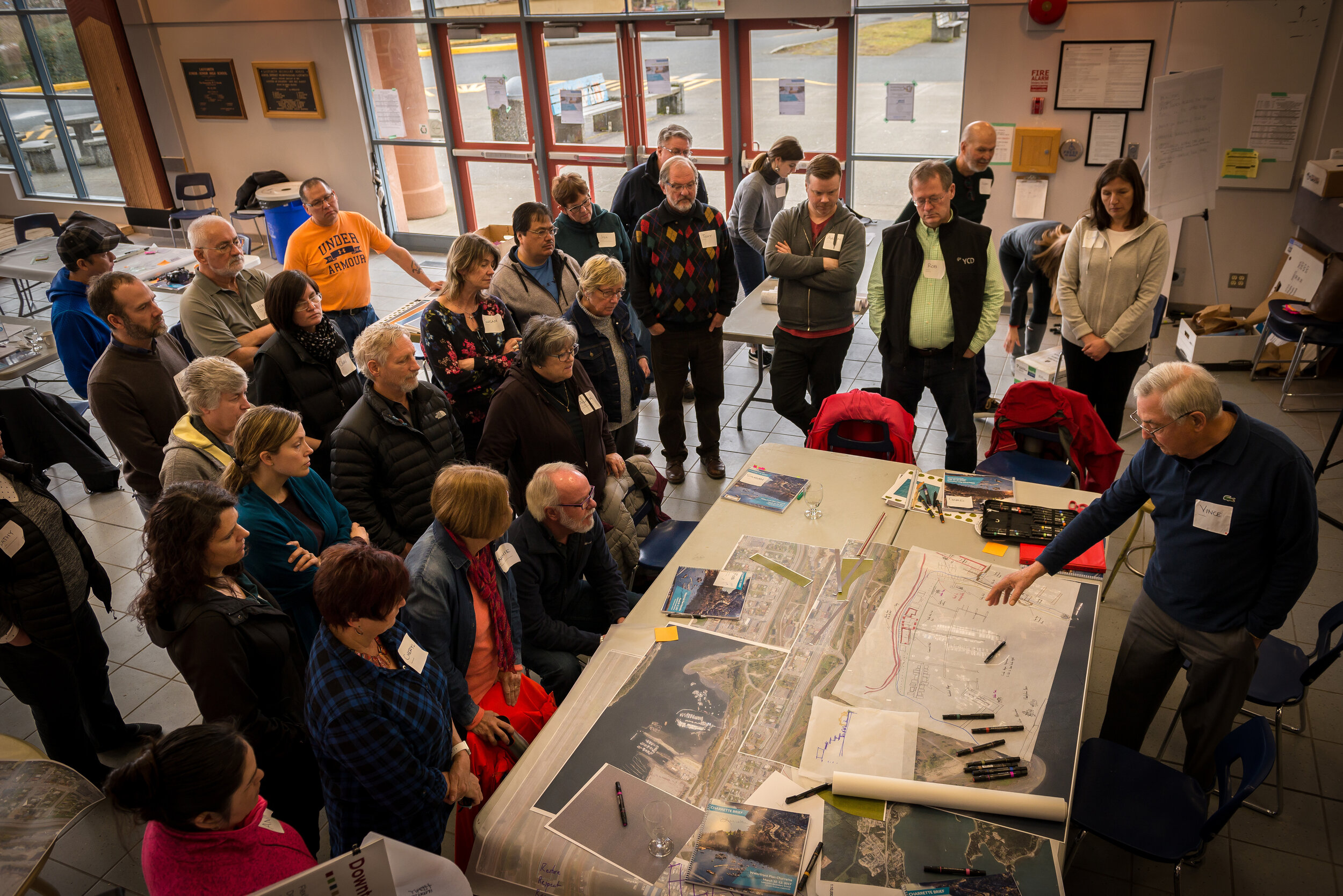
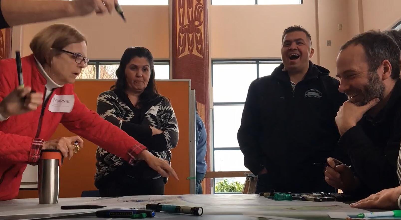
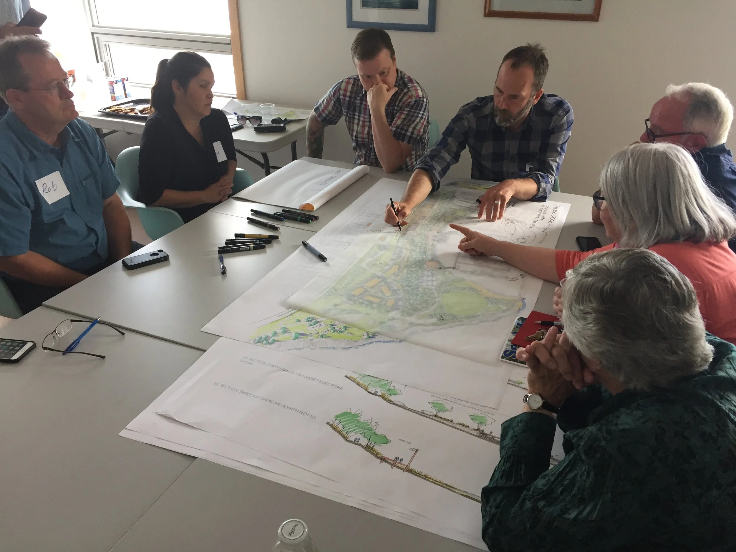
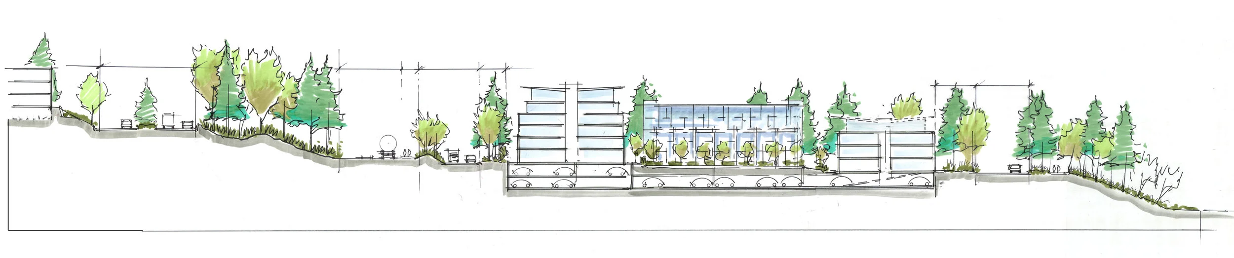
Stz'uminus - Ladysmith
21
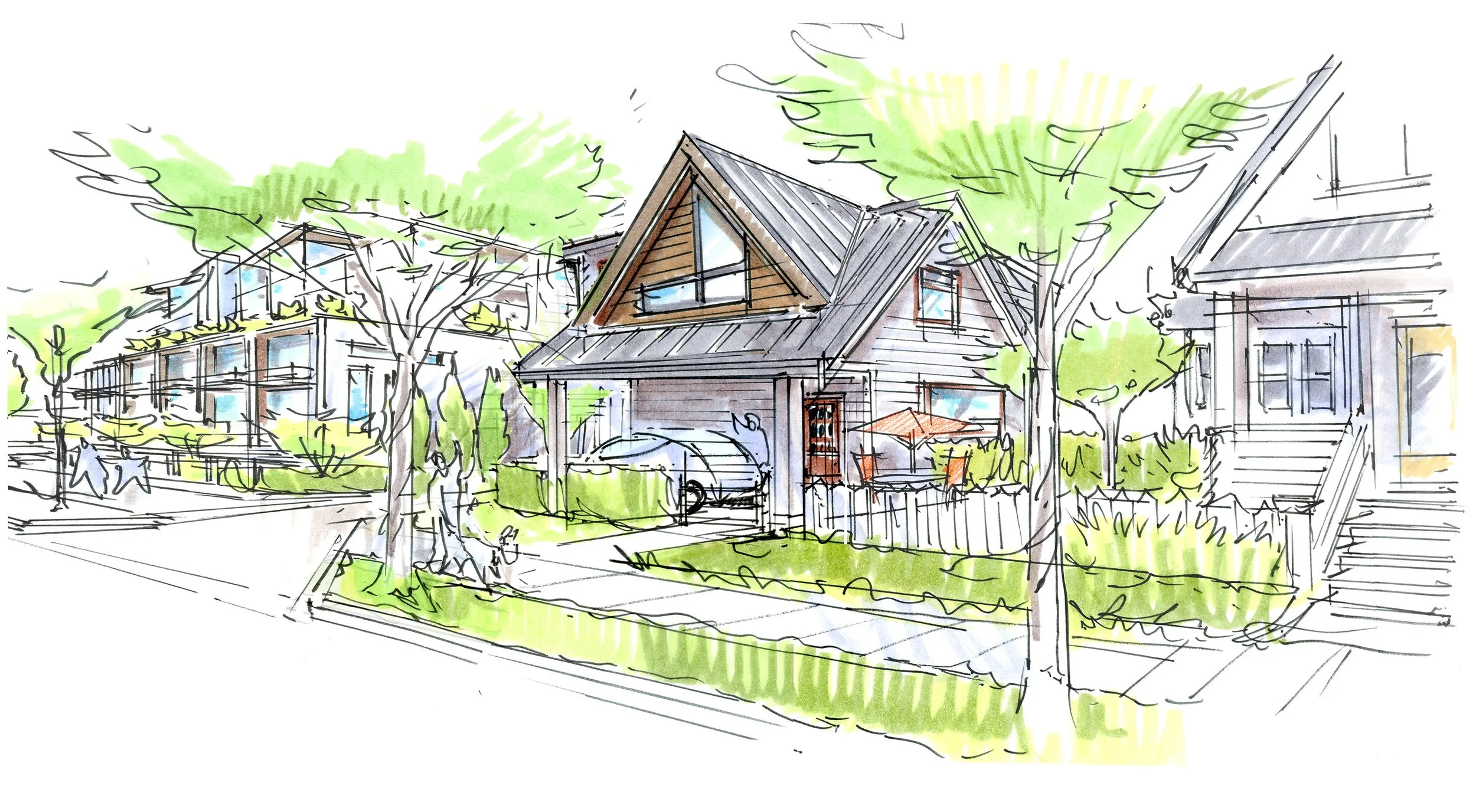
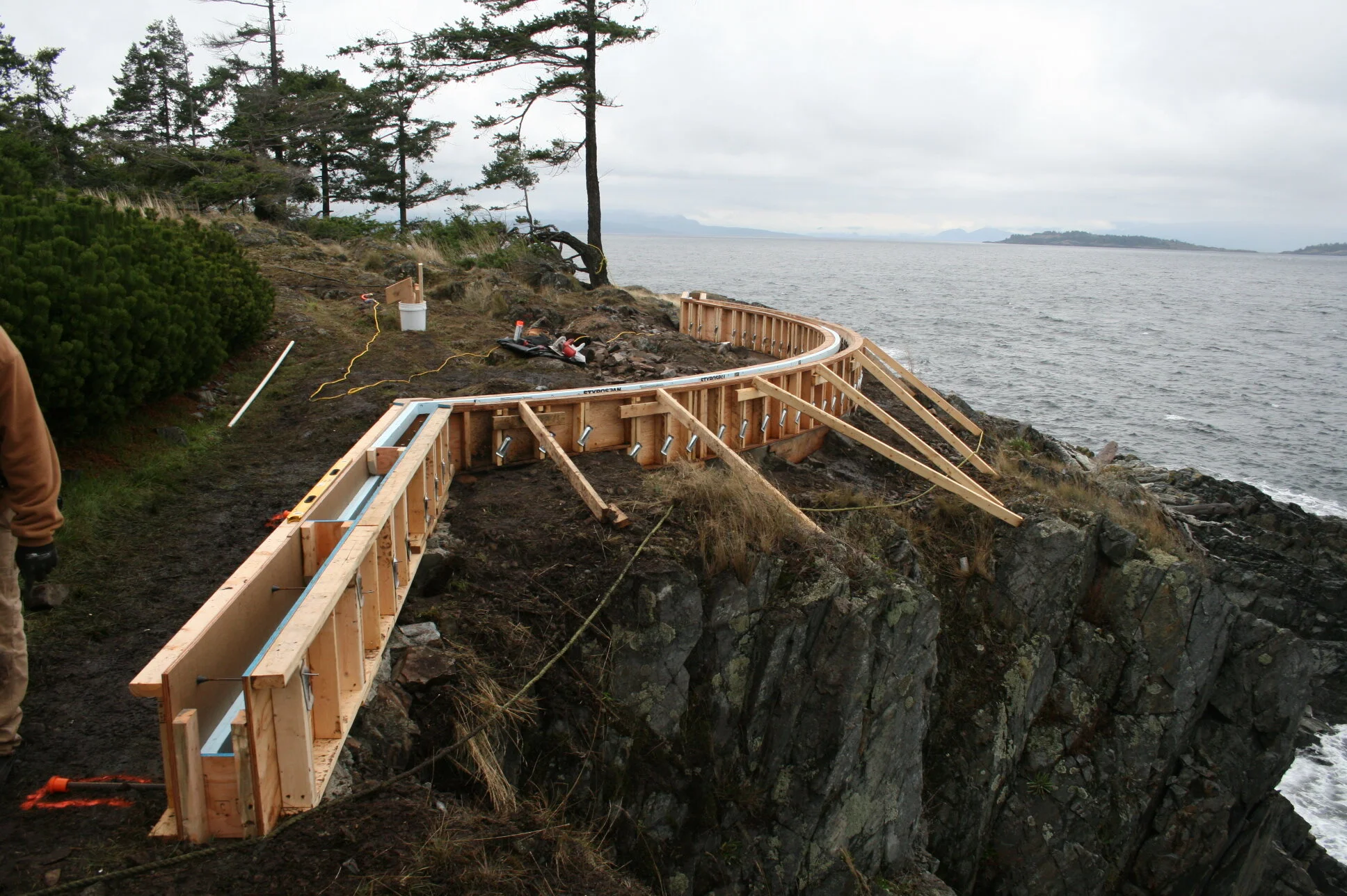
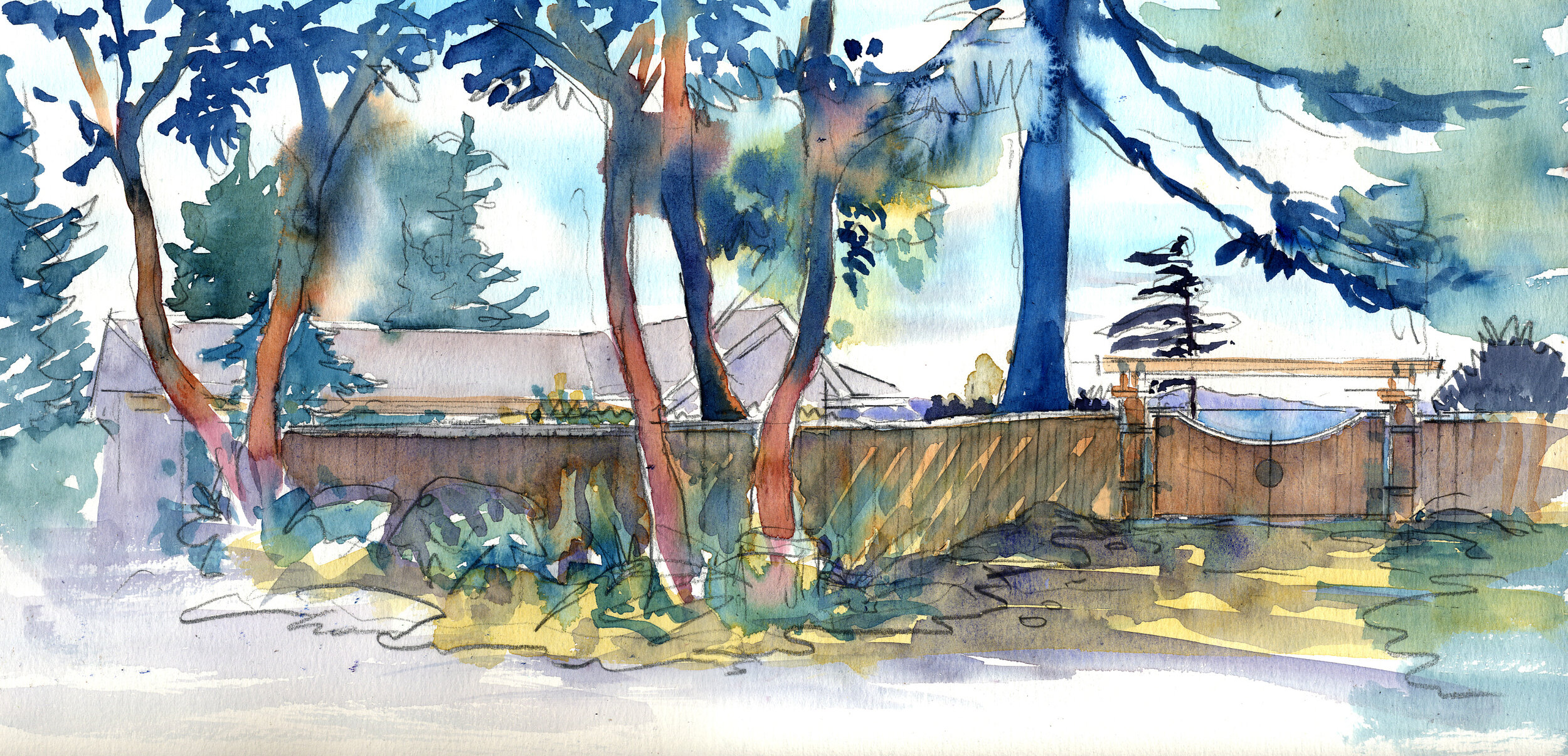
K and C Residence
23
Park Place

17
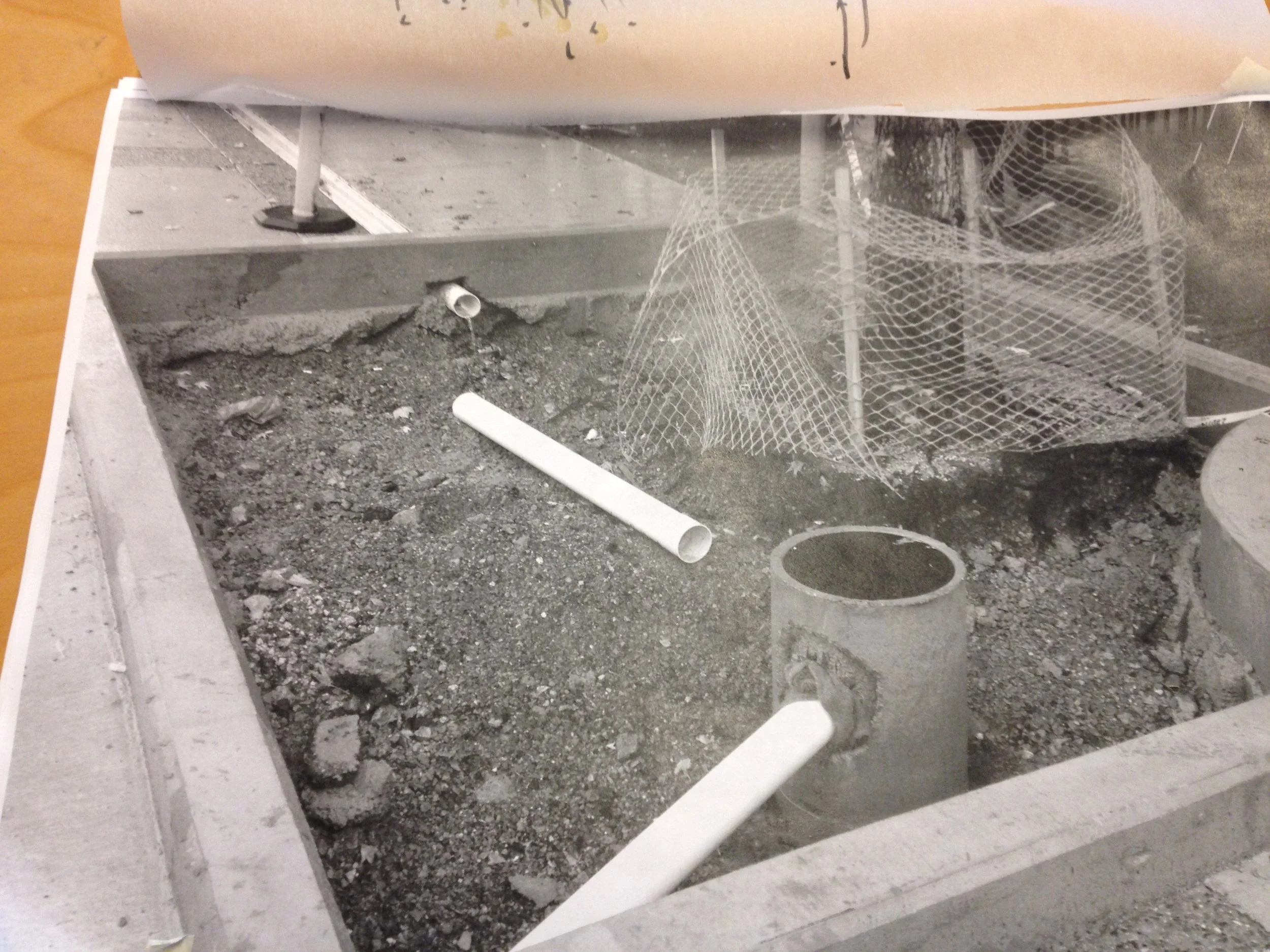
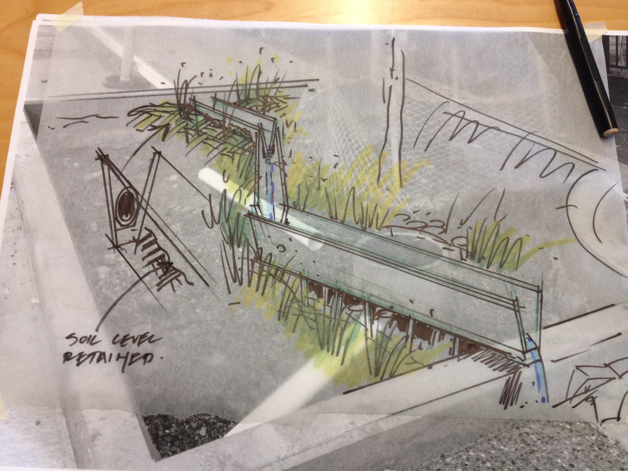
lost cows
8
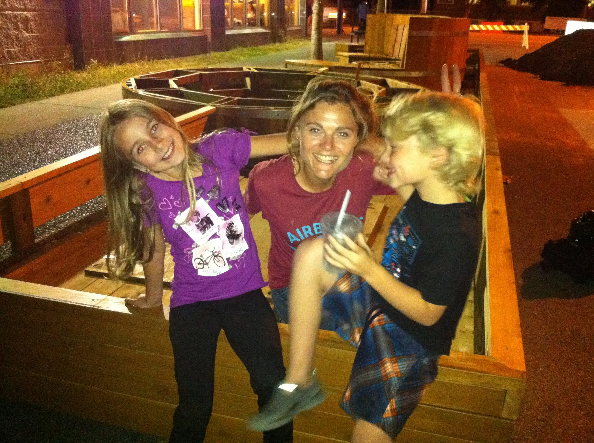
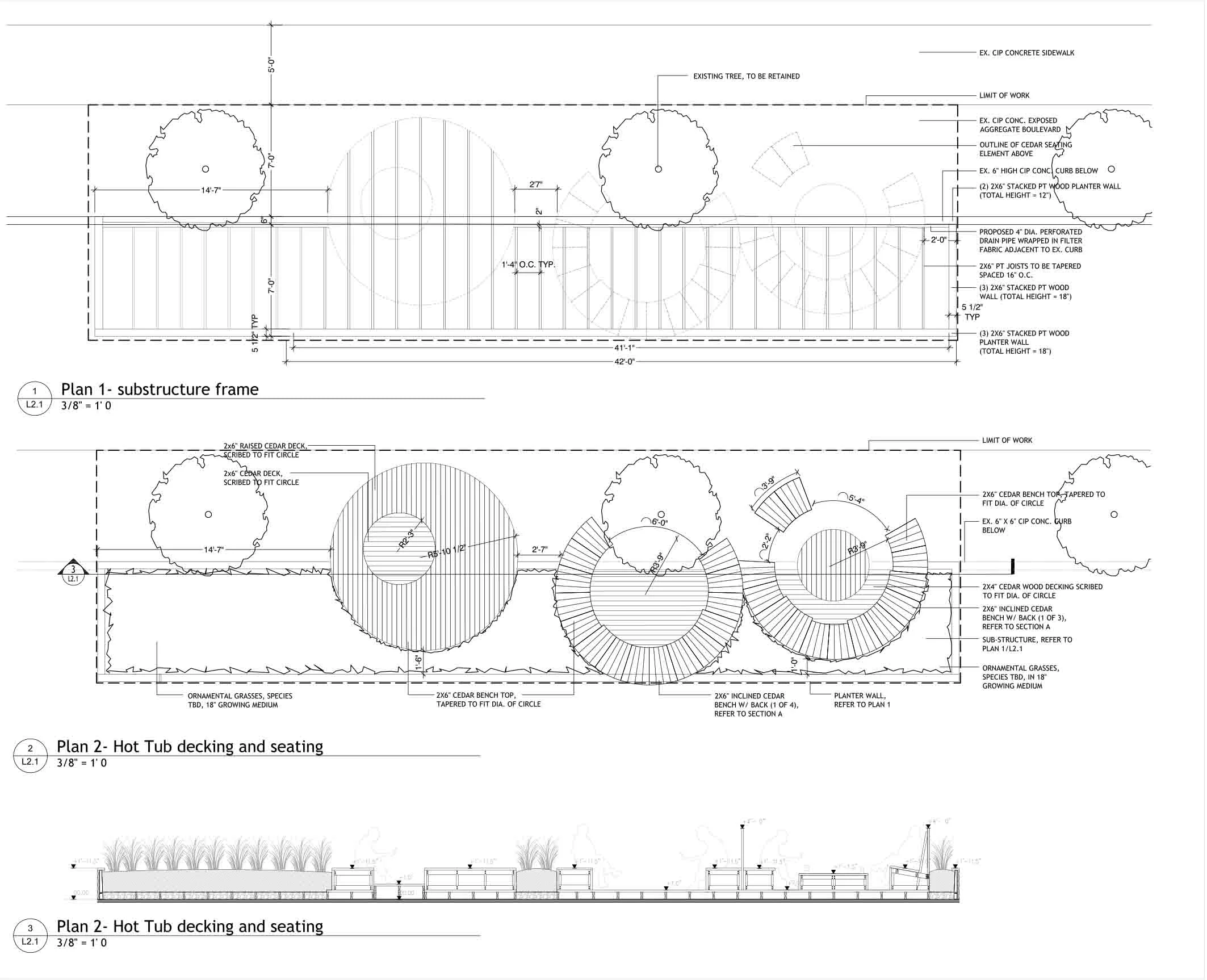
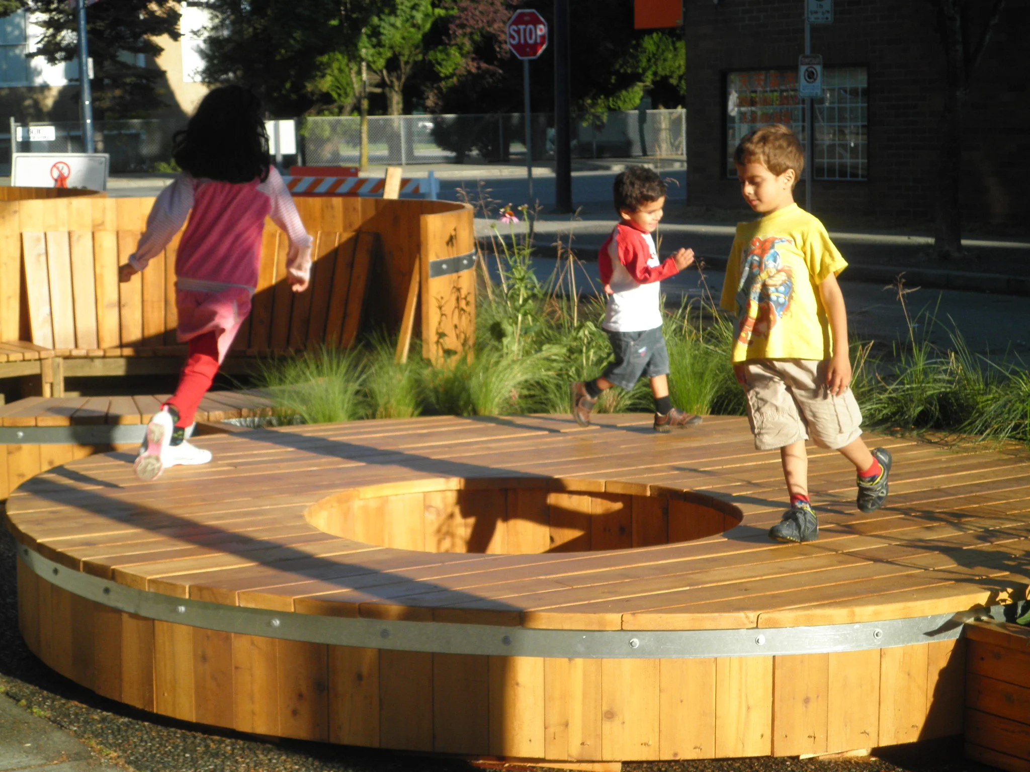
Hot Tubs
6
Take Out

8
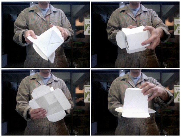
knots

23
Arbutus Corridor

8
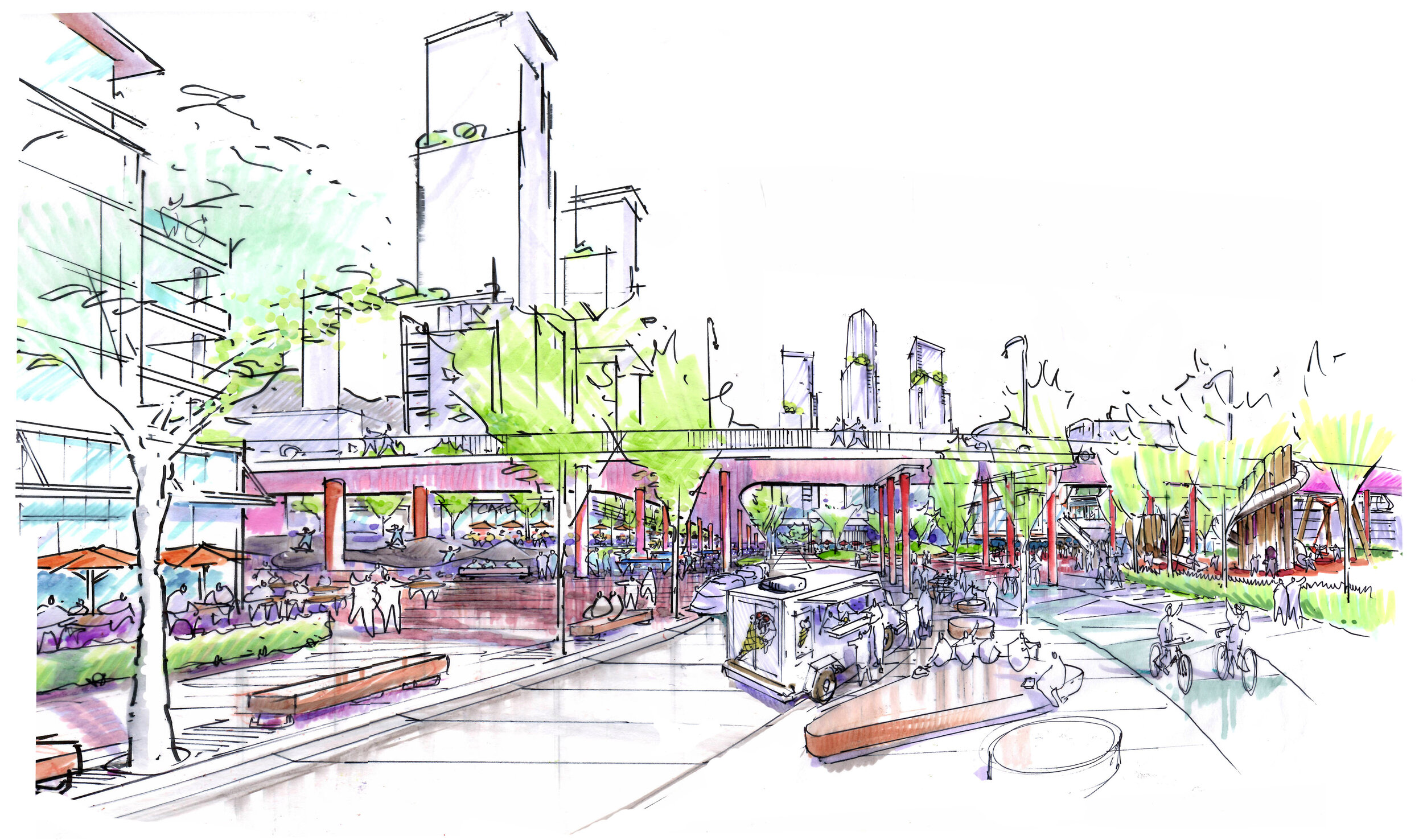
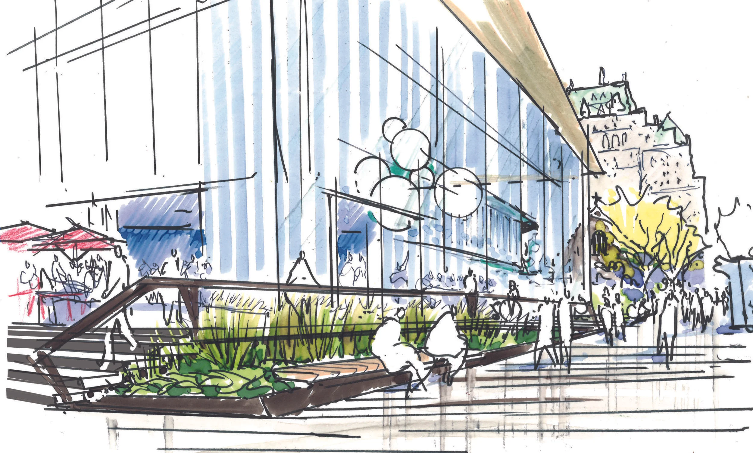
False Creek Flats
16
Heather Lands

20
Oakridge Mall

16
R Residence
19
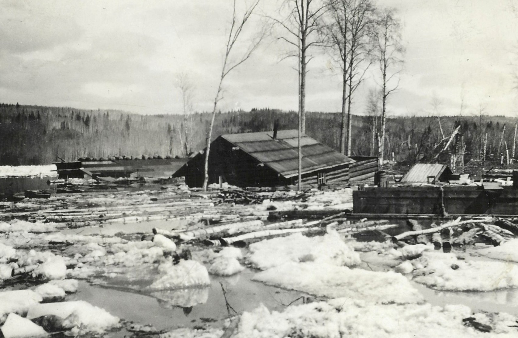
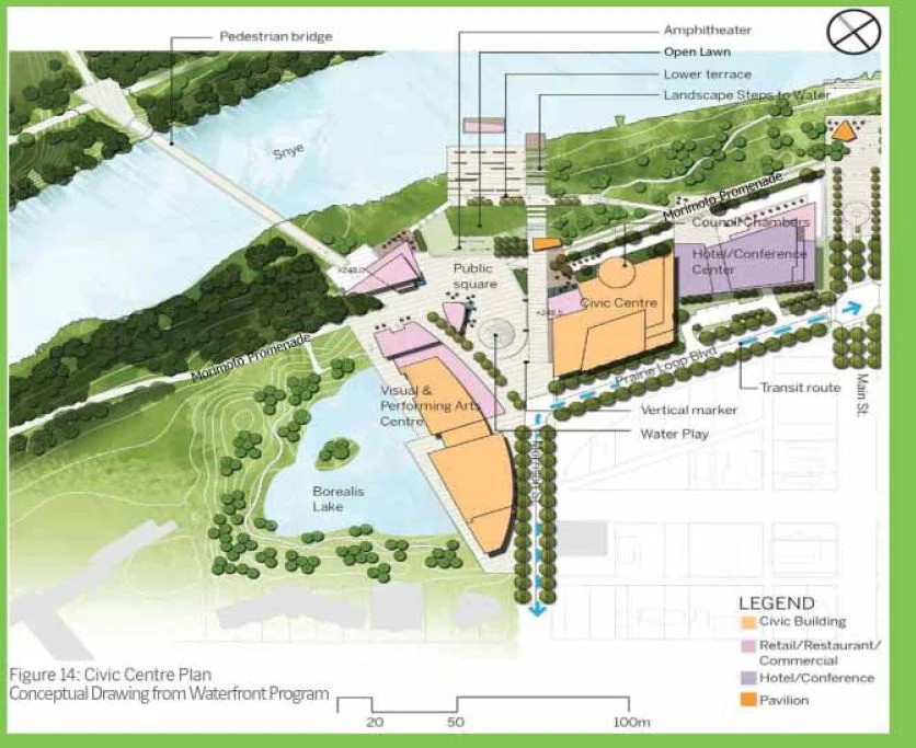
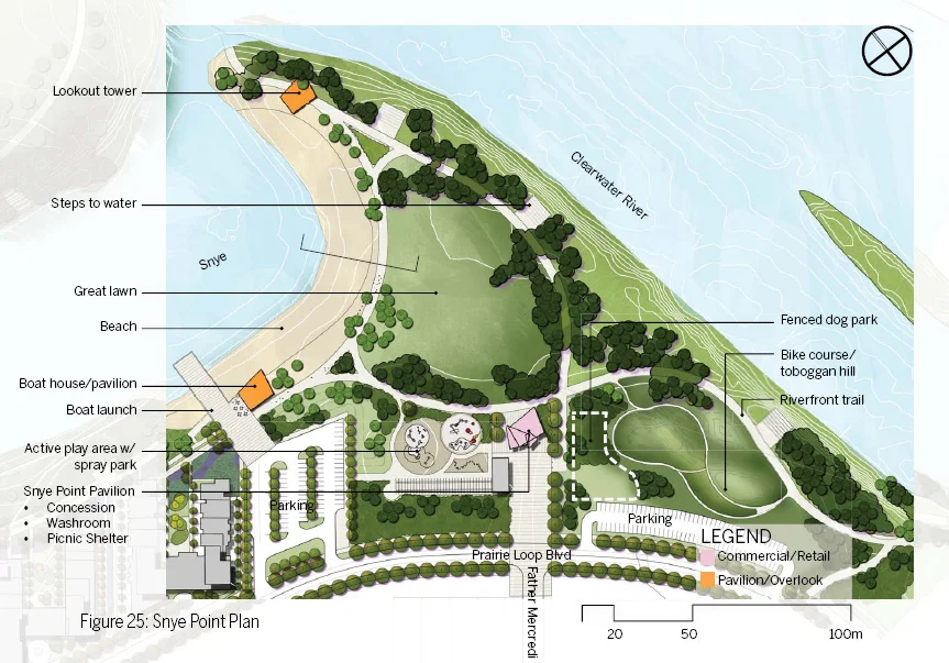
Fort McMurray

11
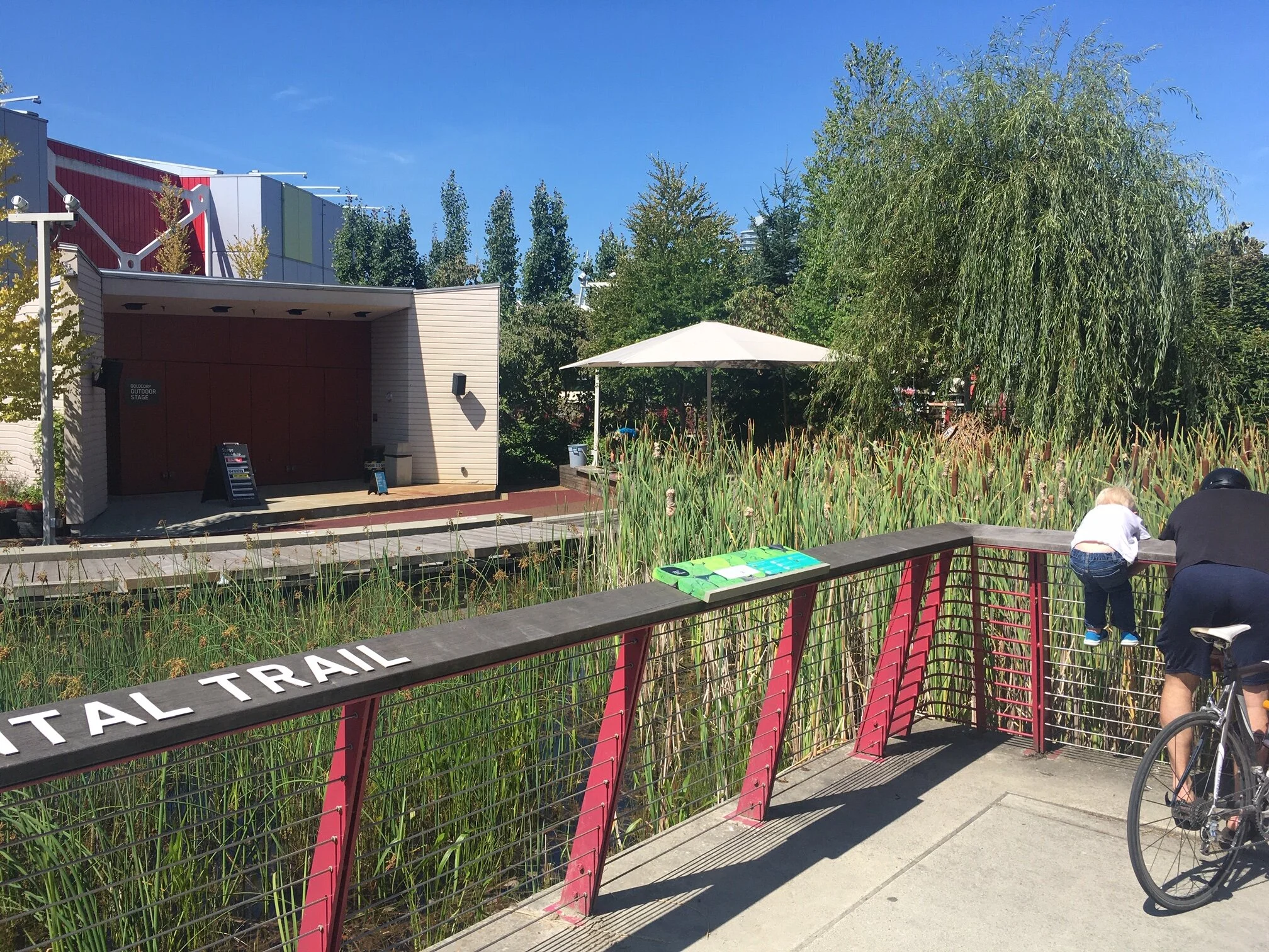
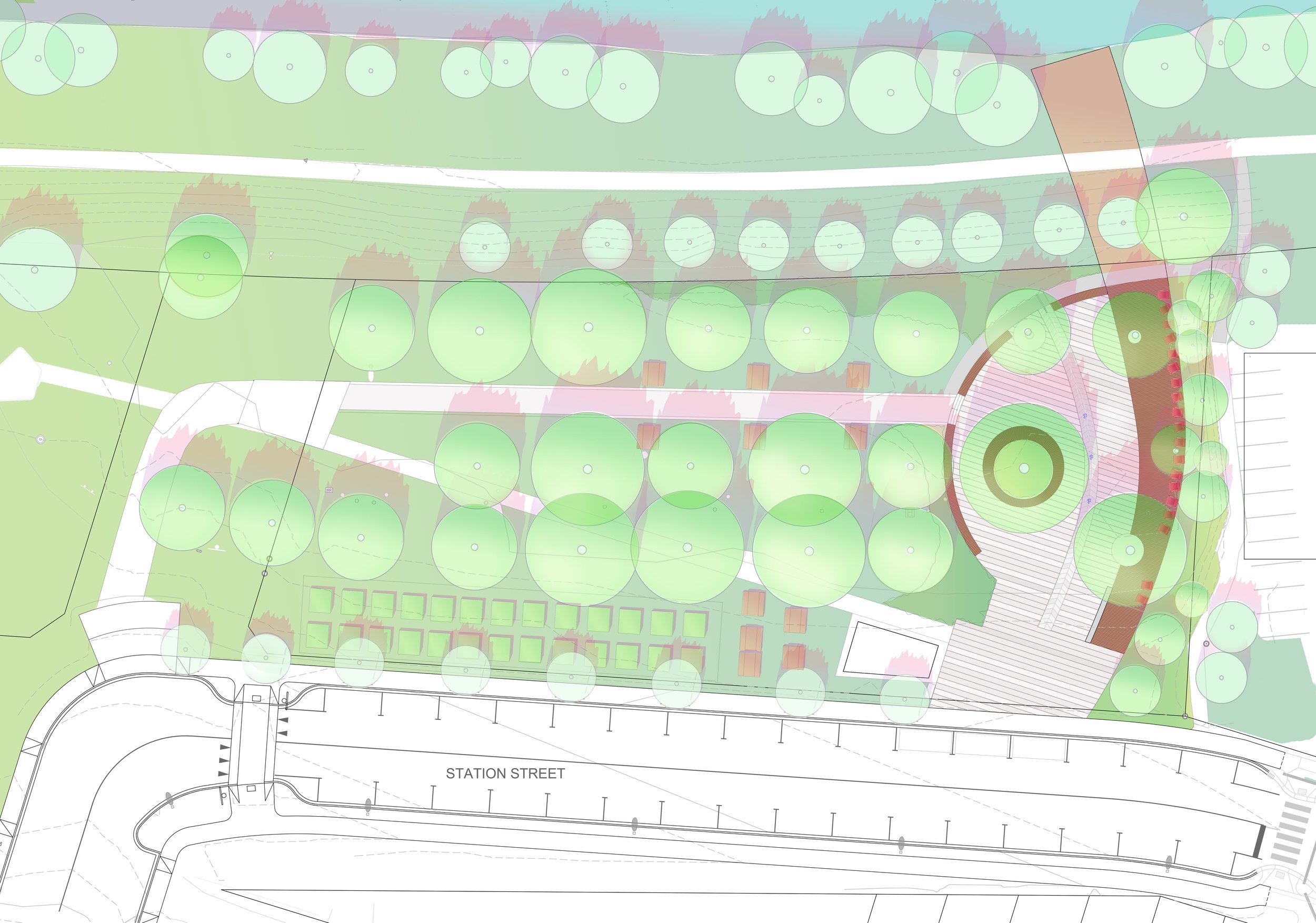
Science World